Elevation: 7,587 ft
Prominence: 567
This peak is not in the book. Published January 2023
Peak 7587 overlooks the junction of Lanes Creek Cutoff Road and the Lander Cutoff Road/FSR-107. Due to private property in the area, it must be climbed from its east side. Thankfully, an old Forest Service Road (FSR-252) gets you pretty close to the summit. USGS Wayan East
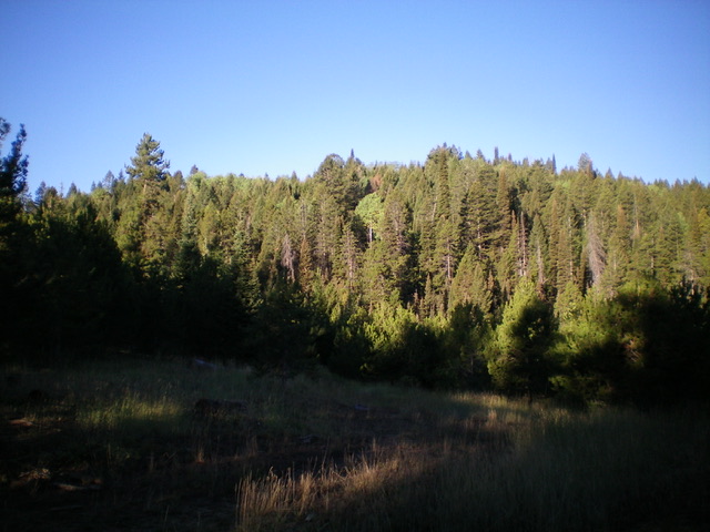
Peak 7587 as viewed from the east. Livingston Douglas Photo
Access
From ID-34 east of Wayan, turn left/south onto [signed] Lanes Creek Cutoff Road. This road is a smooth, well-maintained dirt/gravel county road. Head south on Lanes Creek Cutoff Road for 3.1 miles to an unsigned junction with the Lander Cutoff Road/FSR-107. Turn left/east onto FSR-107 and drive a short distance, cross a small creek on a bridge, and reach BLM land (a short patch) then enter the Caribou National Forest. After driving 2.6 miles on FSR-107, reach a signed junction with rugged FSR-252. Park at this junction (7,025 feet). GPS coordinates: 42⁰55’14”N, 111⁰15’48”W. FSR-107 is a decent, but narrow, road with potholes and some ruts. It is not “well-graded” as some suggest.
Map Errors and Road Conditions
The USGS topo map fails to show much of FSR-252. The Caribou-Targhee National Forest map shows it correctly and it ends at a forested saddle just southeast of the summit of Peak 7587. FSR-252 has not been used in many years after the gated closure (shown on the Caribou National Forest map) and it is quite overgrown with field grass in sections. The road is a mess of significant mud holes and ruts prior to reaching the gated closure, so it is not advisable to drive it.
East Face, Class 2
The Climb
From the road junction, hike southwest along FSR-252. Bear left at an early unsigned junction. The old 2-track drops to a meadow then turns sharply right/northwest to follow a dry gully and reach a gated closure. Continue northwest up the old, overgrown 2-track. It soon turns hard left/south to leave the gully and climb up a forested ridge. The road follows the ridge south to a saddle just before the ridge steepens and goes higher. From this saddle, the road heads south-southwest, dropping ten feet to cross a minor meadow. The road ends in a forested saddle southeast of Peak 7587.
From the saddle, bushwhack northwest up the thickly forested east face. Thankfully, this bushwhack through pines and aspens is pretty short and not too painful. Move left/west to exit the forest and reach open terrain on a ridge of sorts. The left/southwest side of the face/ridge is open field grass and is an easy scramble to the summit. The summit had a torn-down cairn amidst the sagebrush so I rebuilt it.
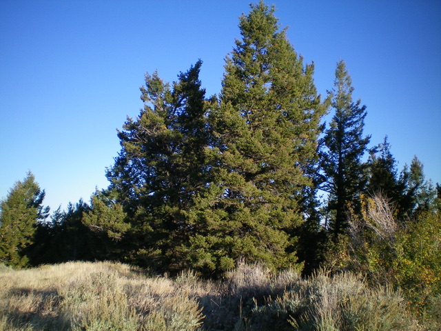
The tall pine trees on the summit of Peak 7587. Livingston Douglas Photo
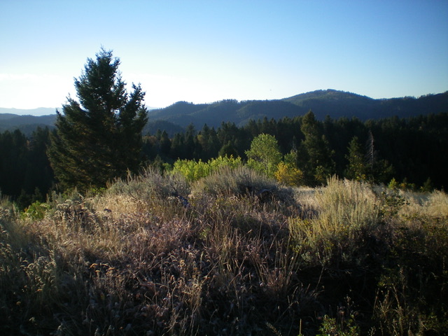
Summit view from atop Peak 7587. Livingston Douglas Photo
Additional Resources
Regions: Peale Mountains->SOUTHERN IDAHO->Webster Range
Mountain Range: Peale Mountains
Longitude: -111.2779 Latitude: 42.9173