Elevation: 7,610 ft
Prominence: 480
This peak is not in the book. Published November 2023
Peak 7610 is a pyramidal hump that is situated between Trail Canyon and Wood Canyon in the Aspen Range northeast of Soda Springs. It is easily reached from either Trail Canyon Road to the north or Wood Canyon Road to the south by a connecting Forest Service road that crosses the west ridge. USGS Johnson Creek
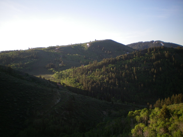
Peak 7610 (dead center) as viewed from the northwest. Livingston Douglas Photo
Access
From the junction of US-30 and ID-34 in Soda Springs, drive north on ID-34 for 3.0 miles to the signed junction with [paved] Trail Canyon Road/FSR-124. Go right/east onto Trail Canyon Road and drive 5.1 miles to a signed junction with FSR-175. Park at this junction (6,915 feet and 42⁰42’11”N, 111⁰28’57”W).This hike is entirely on National Forest land.
North Gully/West Ridge, Class 1
The Climb
From the road junction, hike south up muddy, rutted FSR-175 (only suitable for ATVs) to a saddle at 7,110 feet. From the saddle, hike east up a steep, rocky ATV trail to the summit. The summit is bare and has no summit cairn but has a small piece of rebar protruding from the ground on the high point.
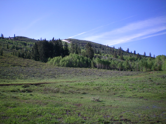
Peak 7610 as viewed from Trail Canyon Road (start of climb). The summit is just left of center. Livingston Douglas Photo

The summit of Peak 7610 with Peak 7650 in the distance. Livingston Douglas Photo
Additional Resources
Regions: Aspen Range->Peale Mountains->SOUTHERN IDAHO
Mountain Range: Peale Mountains
Longitude: -111.4776 Latitude: 42.6948