Elevation: 7,642 ft
Prominence: 336
This peak is not in the book. Updated October 2023
Peak 7642 is located due west of Rain Peak. Pearl Creek is to its north and Brush Creek to its south. John Platt first told me about this little know peak, the quality of its mostly open slopes and the wonderful views available from its summit. Check out John’s trip report linked below. USGS Granite Lake
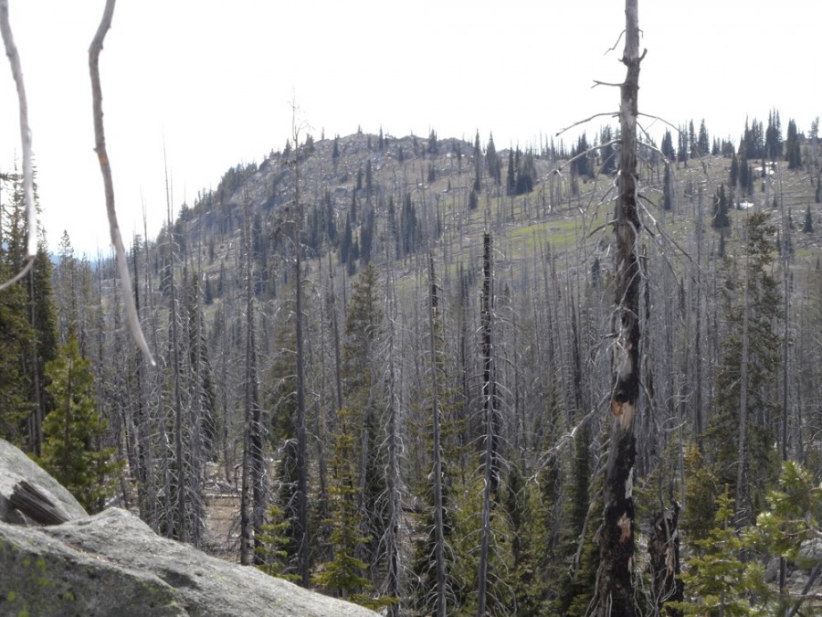
Brush Peak sits above Brush Creek, hence the name. John Platt Photo
Access
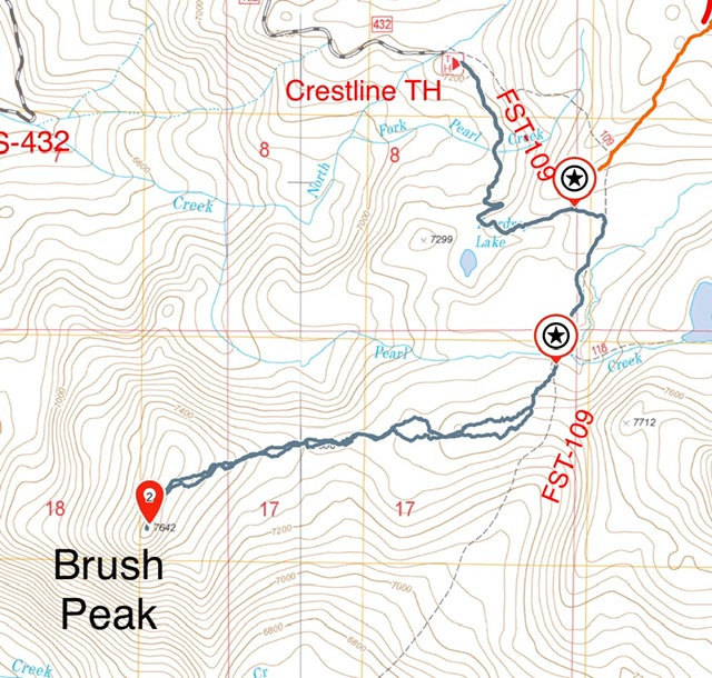
The easiest access is from the west. Follow Warren Wagon Road [(B)(2) on Page 135] north from its junction with ID-55 for 14.0 miles to a turnoff FS-432 (which is sometimes signed for the Crestline trailhead). This rough road is passable for Subaru type vehicles. Follow this road as it switchbacks up the mountain for 5.0 miles to its junction with FS-1525. FS-1525 leads to the starting point for an ascent of Pearl Benchmark. Keep right following FS-432 for another 1.6 miles to the large Crestline Trailhead parking lot at an elevation of 7,200 feet.
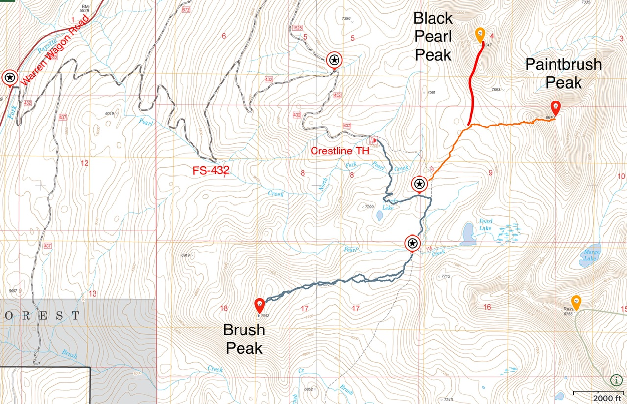
Access and route tracks for Black Pearl Peak, Paintbrush Peak and Brush Peak.
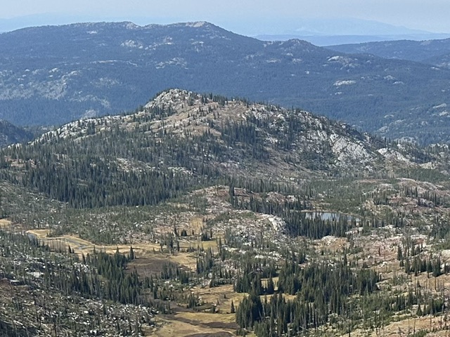
Brush Peak viewed from Paintbrush Peak. FST-109 winds through the open terrain in the foreground.
East Ridge/Summit Ridge, Class 2
From the Crestline Trailhead follow FST-109 south past Teardrop Lake and the junction for Pearl Lake to a saddle at 7,040 feet. FST-109 is open to motorcycles and although little used it is well maintained. Leave the trail at this point and work your way due west to Brush Peak’s west ridge. This terrain is a mix of open ground and forest highlighted by patches of downfall. There are game trails that can be followed at times. Once you reach the base of the west ridge ascend in a southwesterly direction to the summit ridge. Follow the summit ridge to the top. Ascend the summit block on its north east aspect.
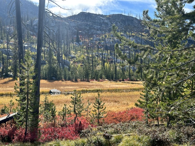
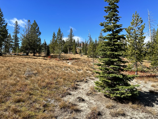
FST-109 passes by this beautiful meadow.
Open terrain along the traverse to the west ridge.
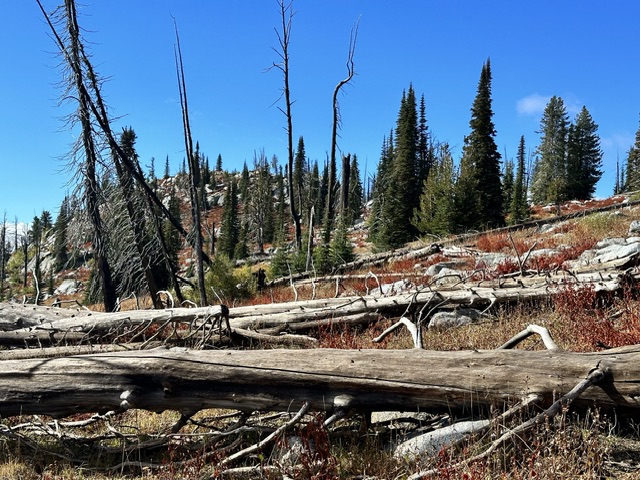
Downfall along the way. The summit,is,barely visible on the horizon just left of center.
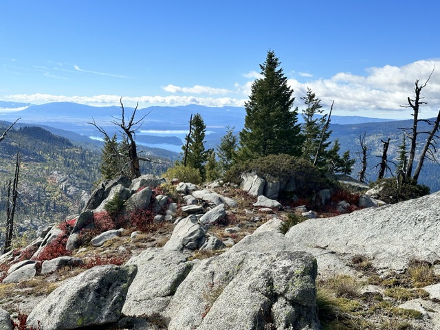
Looking south from the summit toward Payette Lake.
My GPS track for Brush Peak. Round trip was 5.9 miles with 740 feet of elevation gain.
Additional Resources
Mountain Range: Western Salmon River Mountains
Year Climbed: 2023
Longitude: -116.00859 Latitude: 45.06949