Elevation: 7,766 ft
Prominence: 586
This peak is not in the book. Published December 2020
Peak 7766 is a forested hump that separates Little Creek from Kay Creek in the Centennial Mountains north of Kilgore, ID. It is most easily climbed via a bushwhack from a hairpin turn in FSR-027/Aldous Lake Road at its junction with [closed] FSR-091. This climb is entirely on National Forest land. USGS Winslow Creek
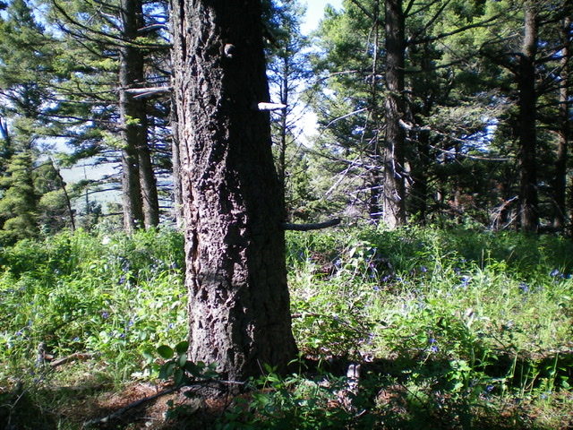
The thickly forested summit of Peak 7766. No views here. Livingston Douglas Photo
Access
From the north side of Kilgore, ID, drive north on [signed] Cottonwood Creek Road/FSR-026. At 3.9 miles, reach a [signed] junction with East Camas Creek Road. Continue straight on Cottonwood Creek Road. At 5.8 miles, reach the National Forest boundary. At 6.3 miles, reach a [signed] junction with FSR-027/Aldous Lake Road. Turn sharply right/southeast onto FSR-027 and drive 2.3 miles to an [unsigned] junction with [closed, gated] FSR-091. Park in a pullout along FSR-027 at this junction (6,960 feet).
East Shoulder/East Face, Class 2
The Climb
From the road junction, hike briefly up FSR-091 past a gated closure and jump across Little Creek. Leave the old jeep road and bushwhack west up through a dense forest with ample brush and blowdown. Move slightly to the right/north to get out of the thick gully and reach an easier shoulder to climb. The shoulder still has large blowdown to navigate but has easier brush (mostly field grass) and a game trail on the crest of the shoulder. The shoulder heads west then southwest. Higher up, the shoulder morphs into a face. Scramble straight west up the face to reach the forested summit ridge of Peak 7766. Head left/south along the ridge crest and up a hill to reach the high point.
There was nothing on top and no loose rocks with which to build a summit cairn. The summit high point is a tall pine tree. It is thick forest up here with no views. This climb is a mix of easy, grassy, open pine forest with elk trails and wicked bushwhacking in dense forest with heavy blowdown and tall, thick brush. Try to minimize your agony the best you can with this climb. Seek out the easiest path to the top and try to find it when you descend. Good luck with that.
Additional Resources
Regions: Centennial Range->EASTERN IDAHO
Mountain Range: Centennial Range
Longitude: -111.88179 Latitude: 44.50329