Elevation: 7,830 ft
Prominence: 883
This peak is not in the book. Published December 2019
Peak 7830 is a gentle, elongated hill located northwest of Skull Canyon. Its rugged south and southeast aspects dominate the mouth of Skull Canyon. Peak 7830 is most easily climbed via its east and northeast slopes from Skull Canyon Road/FSR-298. The summit is located at the southeast end of a long summit ridge crest. Peak 7830 is a great early-season, snow-free hike. USGS Blue Dome
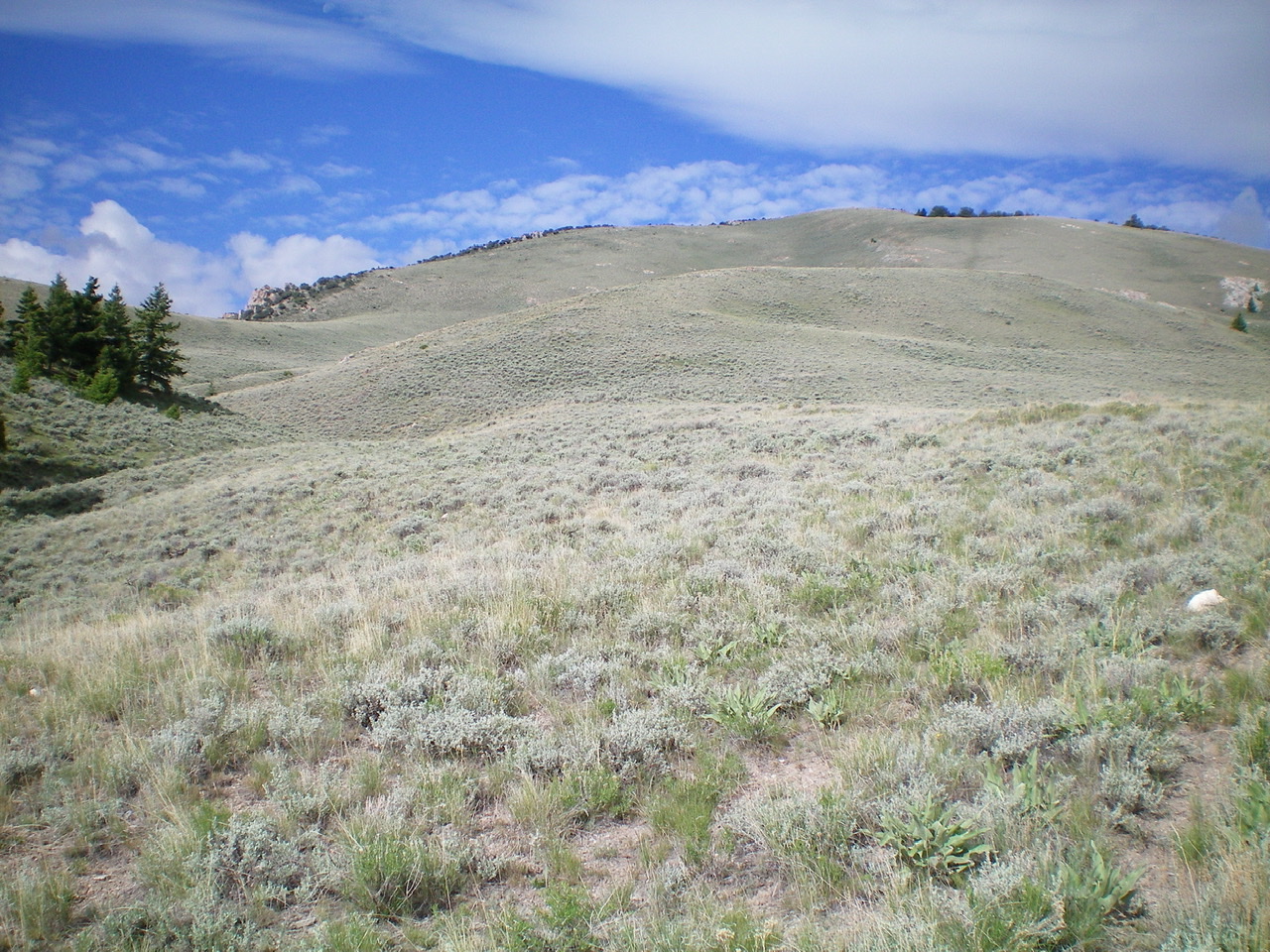
The east side of Peak 7830 with the summit just right of center. The left skyline is the east ridge. Livingston Douglas Photo
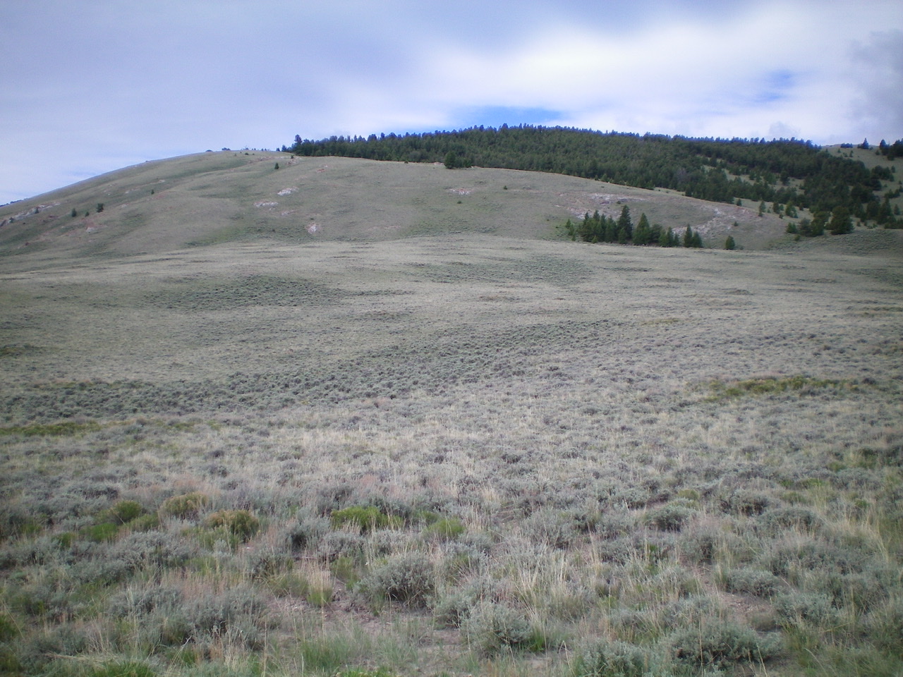
The northeast face of Peak 7830 as viewed from the road junction at the base of the face. The summit is the high point in the center, behind the pine trees. Livingston Douglas Photo
East Ridge, Class 2
Access
Skull Canyon Road is located on the east side of ID-28, exactly 1.6 miles north of the north entrance to Birch Creek Campground and 15.0 miles north of the ID-28/ID-22 junction. Skull Canyon Road is signed. Drive 0.4 miles up Skull Canyon Road (through private property) to reach BLM land at a cattle gate. Park just inside the cattle gate in a large pullout area (6,150 feet). Skull Canyon Road is a narrow, rocky road but you may be able to drive farther up the road and shorten the hike considerably.
The Climb
From the BLM cattle gate, hike northeast up Skull Canyon Road about 1.7 miles to a signed road junction in an open meadow (6,704 feet). Leave the road at this junction and scramble southwest up onto the crest of the east ridge on easy scrub/scree. The ridge terrain is short scrub/grass with a good dirt/broken scree base initially. But soon, shale scree becomes more prevalent and rocky outcrops and rock strata join the mix. The ridge is somewhat ill-defined in its mid-section. Just maintain a westward trajectory in that “face-like” area.
Higher up, scattered mountain mahogany appear. To skirt any ridge problems, move to the right/northeast side of the ridge crest onto scrub/grass. Near the summit, an old 2-track jeep road shows up on the right/northeast side of the ridge. The summit of Peak 7830 is at the southeast end of a long, narrow ridge line. The high point had a torn-down summit cairn so I rebuilt it. The summit area is a combination of short scrub/grass, embedded talus, and scree.
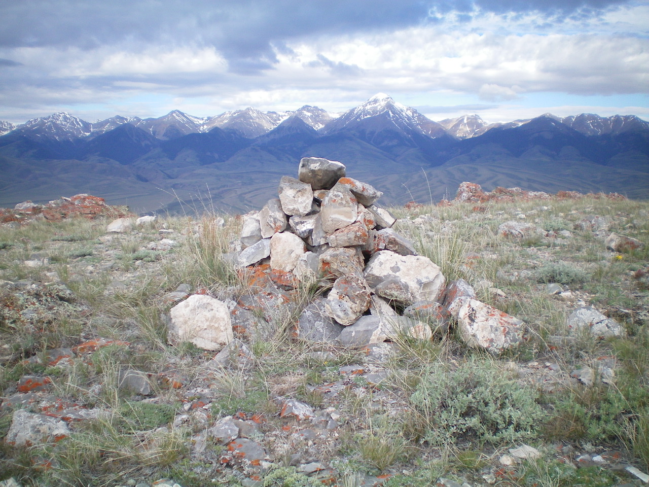
The newly-rebuilt summit cairn atop Peak 7830. Diamond Peak is in the distance, just right of center. Livingston Douglas Photo
Northeast Face, Class 2
Access
Same as for the east ridge
The Descent
From the summit, bushwhack northeast through a relatively easy, open pine forest. Maintain a straight downhill trajectory. After the forest ends, cross an old jeep road and then a shoulder to head down to an obvious road junction at the base of the northeast face (6,947 feet). The terrain on the open section of the northeast face is relatively easy, open short scrub/grass. Skirt around any pockets of thicker scrub. Follow Skull Canyon Road/FSR-298 southeast for 0.7 miles back down to a road junction. From there, go right/south and hike down FSR-298 for 1.7 miles to the BLM cattle gate and the parking area.
Additional Resources
Regions: Beaverhead Range->EASTERN IDAHO
Mountain Range: Beaverhead Range
Longitude: -112.90139 Latitude: 44.17949