Elevation: 7,683 ft
Prominence: 423
This peak is not in the book. Published December 2019
Peak 7683 is the high point on a ridge that towers over Deer Creek to the south. The peak sits at the head of both Jolly Sailor Gulch and War Dance Gulch. The easiest ascent route is via the northeast side of the mountain on FST-315, which originates at the Greenhorn Trailhead. The south ridge is a great early-season scramble. The east ridge is a rockier, more problematic, proposition. USGS Mahoney Butte
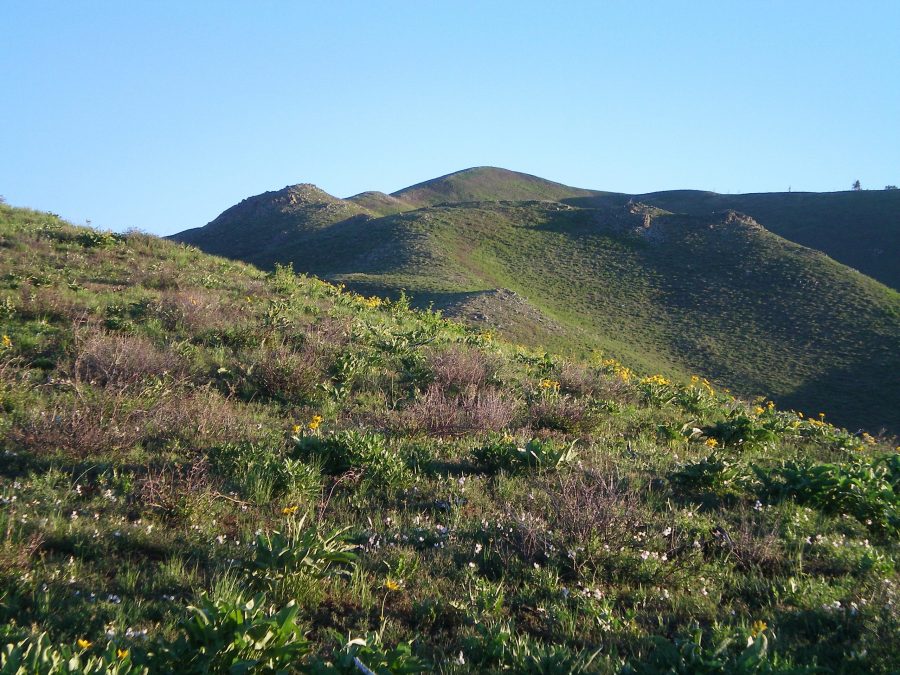
Looking up the beautiful south ridge of Peak 7683. The summit is the hump in the center of the photo. Livingston Douglas Photo
South Ridge, Class 2
Access
Deer Creek Road/FSR-097 is located on ID-75, 1.9 miles north of the street light at Albertson’s in Hailey, ID. Turn left/west onto [signed] Deer Creek Road and drive 6.2 miles to Campsite #14. Park here (5,730 feet). Walk 0.1 miles west on FSR-097 to reach the toe of the south ridge. This is where the climb begins.
The Climb
Scramble north up the south ridge. The terrain is a bit brushy at the start but soon thins out. This ridge is an enjoyable scramble. There are few minor zigs and zags (and ups and downs) on the ridge but nothing too serious. The summit is a rounded hump on a ridgeline of humps. There is a small cairn on the scrub/scree summit.
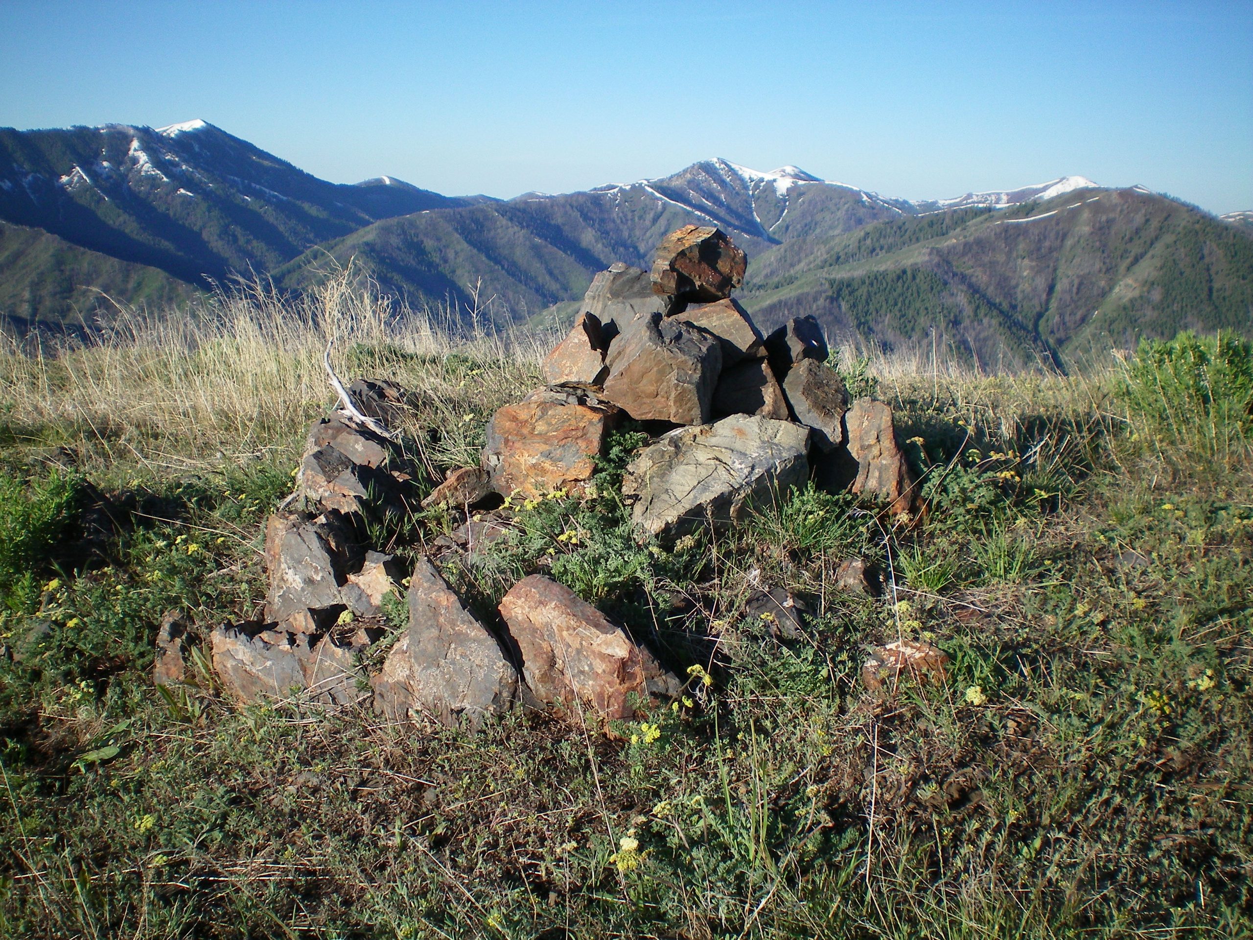
The summit cairn atop Peak 7683. Livingston Douglas Photo
East Ridge/Southeast Spur, Class 3
Access
Same as for the south ridge. This is a loop route that begins and ends at the toe of the south ridge along Deer Creek Road/FSR-097.
The Descent
The east ridge is a different animal from the docile south ridge. The east ridge has much larger ups and downs. It has a tedious base of uneven, protruding talus and scrub. It is NOT a fun scramble. From the summit, follow the ridge crest east to a saddle (7,060 feet). From the saddle, scramble up over Point 7200+ and down to another saddle (7,060 feet). From this saddle, follow the ridge crest up to Point 7215.
At Point 7215, the east ridge effectively ends, but it offers three alternative descent routes: a north shoulder that leads to a high ridge saddle, a northeast shoulder that leads to a gully, and a southeast spur that descends down to Deer Creek Road just east of Clarendon Hot Springs. To make a loop route of this journey, we will descend the southeast spur. This spur is much steeper and rougher than the docile, up-and-down nature of the east ridge. The spur goes at Class 3.
The southeast spur is steep and has several rocky outcrops. Side-hilling to skirt the rocky outcrops is not a good option due to very loose scree. It is best to climb over the rocky ridge outcrops and downclimb them. But the rock is untrustworthy here, so be cautious. There are occasional side gullies/ramps that are workable. The lower section of the ridge turns into easy scrub (no rocks) and is a cruise down to Deer Creek Road. Be sure to stay away from the private property in a gully to the right/west of the spur. Once on Deer Creek Road, hike southwest up the road for 1.8 miles to return to your parking spot at Campsite #14.
Additional Resources
Regions: Smoky Mountains->WESTERN IDAHO
Mountain Range: Smoky Mountains
Longitude: -114.56839 Latitude: 43.56839