Elevation: 7,932 ft
Prominence: 512
This peak is not in the book. Published November 2020
Peak 7932 is a forested mountain that is tucked behind other peaks and/or ridges and is difficult to reach. The easiest access is via FST-444 (an ATV trail) from FSR-189/FSR-169 and Tincup Road/FSR-117. Peak 7932 towers over the lengthy Tincup Creek drainage. It is rarely climbed and is a lengthy bushwhack. USGS Caribou Mountain
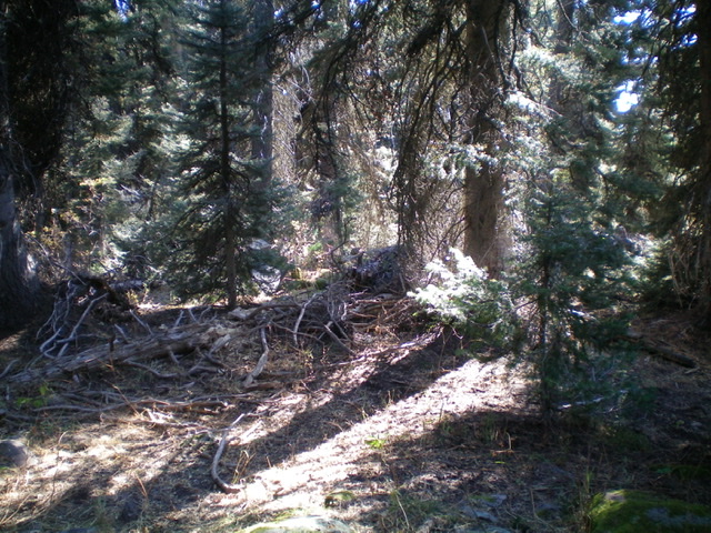
The forested high point of Peak 7932. Livingston Douglas Photo
Access
Same as for Peak 7522. This is the second leg of a two-peak journey that begins along Tincup Road/FSR-117.
Southwest Ridge, Class 2
The Climb
From the 6,900-foot crossing of the small stream in the drainage that separates Peak 7932 from Peak 7522, bushwhack east through open brush up onto a low shoulder. From there, head east across a dry gully and bushwhack diagonally upward and right up through a short patch of thick aspens to reach the rounded, ill-defined southwest ridge. The lower half of the ridge is mostly open terrain of sagebrush/brush with gaps and, though steep, it goes quickly. Higher up, the open scrub ends and pine forest takes over.
Bushwhack northeast up through the somewhat-tedious forest of pines, blowdown, and some open meadows/brush to reach an open meadow on the summit cap. Bend left-ish/north here to reach the high point. The summit high point is in the pine forest, near the open meadow. There is a small cairn atop a large boulder in the forest. I walked around up here for a bit and found that the area just inside the forest (with a few boulders) is the high point, NOT the adjacent meadow (albeit by only 5-10 feet, according to my altimeter).
Additional Resources
Regions: Caribou Range->SOUTHERN IDAHO
Mountain Range: Caribou Range
Longitude: -111.27279 Latitude: 43.02429