Elevation: 7,940 ft
Prominence: 600
This peak is not in the book. Published November 2020
Peak 7940 is located due north of Poker Peak (8,439 feet) and sits at the head of a peninsula that juts out into the Palisades Reservoir. It towers over Pine Creek to its southwest and Landslide Creek to its east. Due to forest cover, nearby Palisades Reservoir is not visible from the summit. Peak 7940 is most easily climbed via Pine Creek Trail/FST-156 and the south ridge. It makes for a good climb in combination with nearby Poker Peak (8,439 feet). Both are ranked summits. USGS Palisades Dam
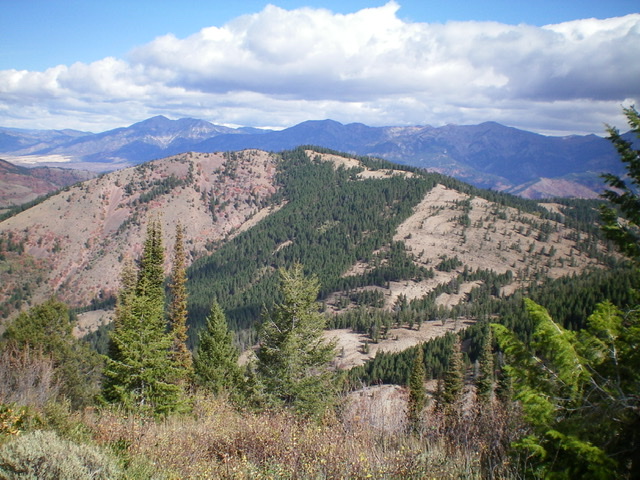
Peak 7940 (mid-ground) as viewed from the south. Livingston Douglas Photo
Access
From the junction of US-26 and ID-31 in Swan Valley, drive about 10 miles southeast on US-26 to a [signed] turnoff for “Little Lemhi/Riverside Park” just north of Palisades Reservoir Dam. Turn right/south off US-26 and reset your odometer. Follow the paved road south briefly then right/west as it skirts the Riverside Park Campground and crosses the Snake River on a good bridge. Please note that the USGS topo map does NOT show this road or bridge crossing but the Caribou-Targhee National Forest Map does show it. Be advised that the Palisades Dam Road is closed and has been closed for years. Both the USGS topo map and the National Forest map make the dam road look open but it’s not.
At 2.1 miles, turn left onto [signed] Bear Creek Road. At 4.7 miles reach a [signed] “T” junction. Go right on FSR-058/Bear Creek Road. At 10.3 miles, reach the [signed] right turnoff for the Bear Creek trailhead. Continue straight on FSR-058. Cross a bridge over Bear Creek and reach a [signed] left turnoff for Pine Creek Trail/FST-156 at 10.9 miles. Drive a short distance up the rough spur road and park in a dispersed campsite alongside the road (5,815 feet).
South Ridge, Class 2
The Climb
Pine Creek Trail/FST-156 begins as a jeep road but quickly becomes a hiking trail that is good at times (in the forest) and poor at other times (in the open meadows). It is a narrow foot path, not a wide, well-beaten trail. In about two miles, reach a “T” trail junction in a meadow at the edge of a pine forest. This is the 7,340-foot connecting saddle between Peak 7940 and Poker Peak. FST-156 ends here. FST-158 heads both east (down Landslide Creek) and south (up Poker Peak) from this trail junction.
From the saddle, scramble north up the open grass, scrub, and sagebrush of the south ridge. Higher up, the terrain becomes semi-open pine forest but is an easy scramble. The summit of Peak 7940 is small and forested. It has a small summit cairn. Views are limited. Return to the connecting saddle with Poker Peak. This concludes the first leg of today’s two-peak adventure. Poker Peak is up next.
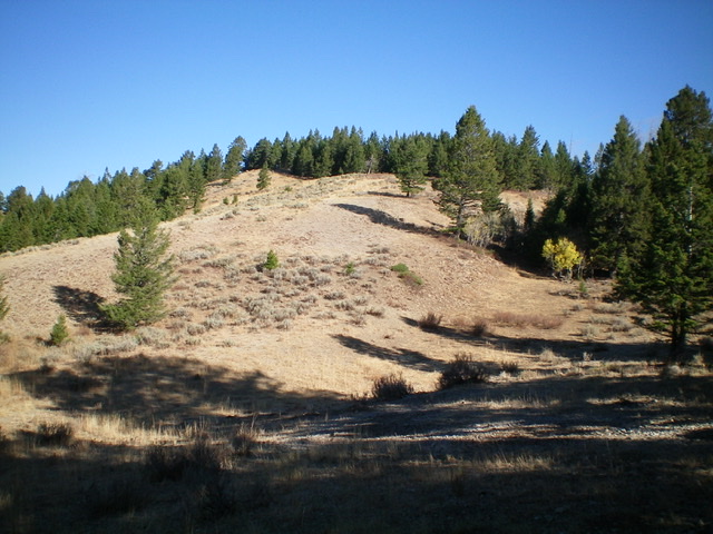
Looking up the south ridge of Peak 7940. Livingston Douglas Photo
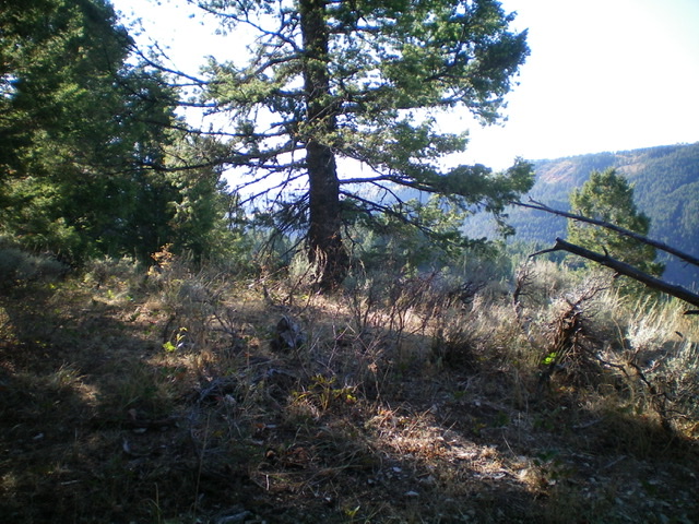
The summit area atop Peak 7940. Livingston Douglas Photo

The small summit cairn atop Peak 7940. Livingston Douglas Photo
Additional Resources
Regions: Caribou Range->SOUTHERN IDAHO
Mountain Range: Caribou Range
Longitude: -111.19679 Latitude: 43.27369