Elevation: 7,940 ft
Prominence: 400
This peak is not in the book. Published January 2023
Peak 7940 is a seldom-climbed summit that is located on a small ridgeline that separates Lau Creek from Brush Creek in the Webster Range. The Lau Creek Trail/FST-020 gets you reasonably close to the peak. A reasonable bushwhack is required to reach the summit. USGS Stump Peak
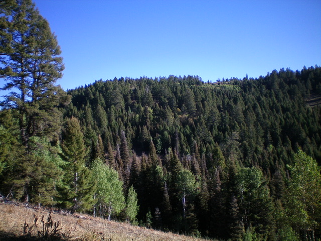
Peak 7940 (the forested summit is left of center) as viewed from Point 7708 to its southwest. Livingston Douglas Photo
Access
The Pine Bar Campground (signed) and Lau Creek trailhead are located along ID-34 just west of MM140 and 0.9 miles west of FSR-258. Park in a small trailhead parking area near the highway and just outside the small campground (6,335 feet).
Southwest Ridge, Class 2
The Climb
From the campground and trailhead parking area, follow the Lau Creek Trail down across Tin Cup Creek (a decent-sized creek) on a nice footbridge. Hike south on the Lau Creek Trail (narrow, muddy, and not well-maintained) for about 2.5 miles to a saddle crossing at 7,540 feet, just below and southwest of Point 7708. From the saddle, leave the trail and scramble left/northeast up a sagebrush slope to Point 7708. Point 7708 is mostly open terrain and offers a good look at the forested bushwhack that lies ahead and the location of [elusive] Peak 7940 to its northeast. Peak 7940 sits at the north end of an elongated ridge.
From Point 7708, descend north in semi-open scrub then forest. Drop right/northeast to reach a forested saddle at 7,620 feet. From the saddle, bushwhack northeast then north up over a small, open hump. From that hump, descend northeast to a final saddle. Follow a game trail northeast to near the summit ridge then scramble up some steep-ish scree/scrub to the ridge crest summit. The high point is open and obvious. It had no summit cairn so I built one.
When you return to the Lau Creek Trail, you may wish to skirt the left/southeast side of Point 7708, though the side-hilling in thick-ish sagebrush is not a whole lot of fun. It’s probably better to re-climb Point 7708 and stay on the open ridge crest high up and find a diagonal game/cattle trail that heads down to the Lau Creek Trail at the saddle crossing (7,540 feet). From the saddle, follow the trail for 2.5 miles back to the campground and trailhead.
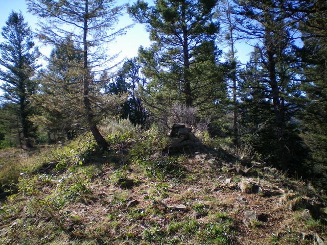
The summit cairn atop Peak 7940. Livingston Douglas Photo
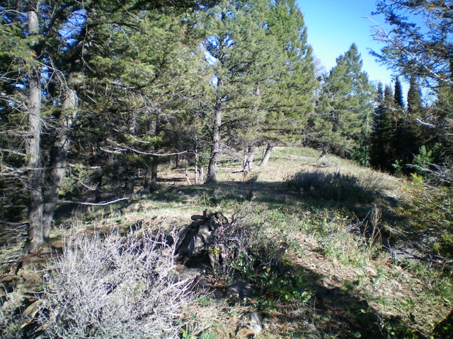
The forested summit area of Peak 7940. Livingston Douglas Photo
Additional Resources
Regions: Peale Mountains->SOUTHERN IDAHO->Webster Range
Mountain Range: Peale Mountains
Longitude: -111.19089 Latitude: 42.95079