Elevation: 8,010 ft
Prominence: 307
This peak is not in the book. Published January 2023
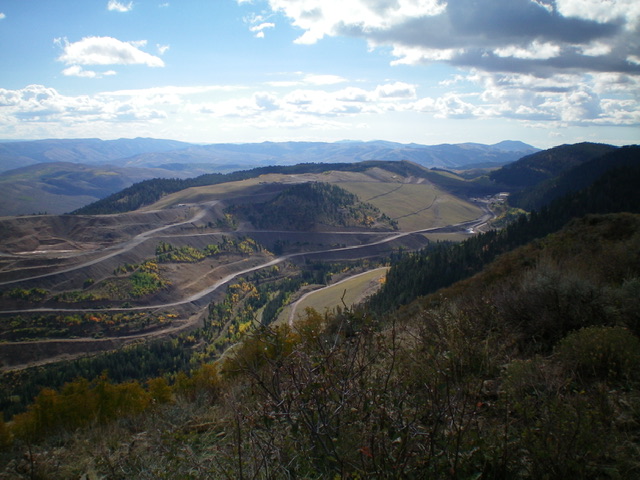
Peak 8010 is a ridgeline summit that is located on the east side of Smoky Canyon in the Webster Range. It is the high point on a ridge with multiple points of almost-equal height. Peak 8010 is the southernmost of the ridge points. Regrettably, this beautiful ridgeline is off limits to the public due to the [active] Smoky Canyon Phosphate Mining Operation that has completely reshaped the mountain’s slopes (see photos). USGS Stewart Flat
Peak 8010 (ridge in mid-ground) and the extensive phosphate mining operation on it. Peak 8010 is closed to the public. Livingston Douglas Photo
Access
Park in a large parking area on the south side of Smoky Canyon Road just up from the signed junction of Smoky Canyon Road/FSR-110 and the Smoky Canyon Phosphate Mining Road (7,235 feet).
Climbing Routes
When the phosphate mining operation concludes, this area will once again be open to the public. To reach the summit, hike (or drive) south on a mining road from the 7,196-foot road junction with Smoky Canyon Road/FSR-110 to reach the northwest side of the peak. Follow mining roads up to the ridge crest and hike a short distance south to the summit.
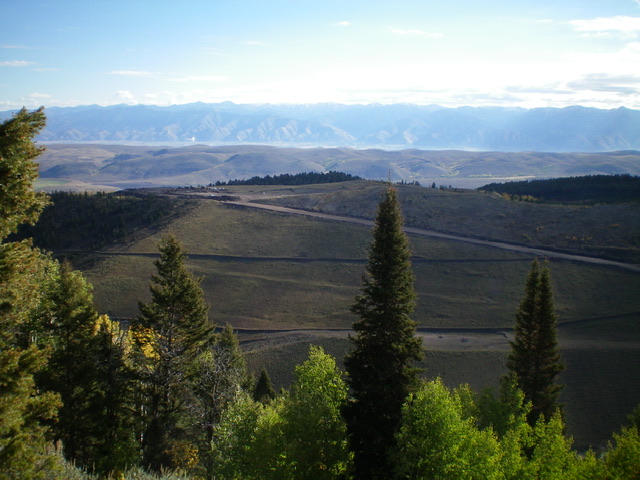
The north ridge of Peak 8010 (in mid-ground). Livingston Douglas Photo
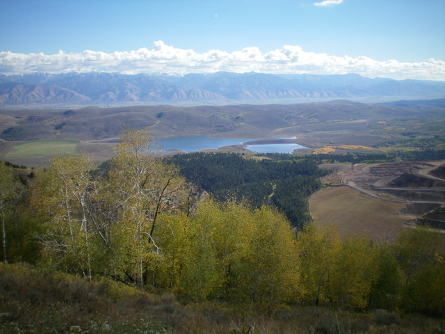
The tailings ponds at the north end of Peak 8010 from the active phosphate mining operation nearby. Livingston Douglas Photo
Additional Resources
Regions: Peale Mountains->SOUTHERN IDAHO->Webster Range
Mountain Range: Peale Mountains
Longitude: -111.1280 Latitude: 42.6882