Elevation: 8,019 ft
Prominence: 439
This peak is not in the book. Published November 2023
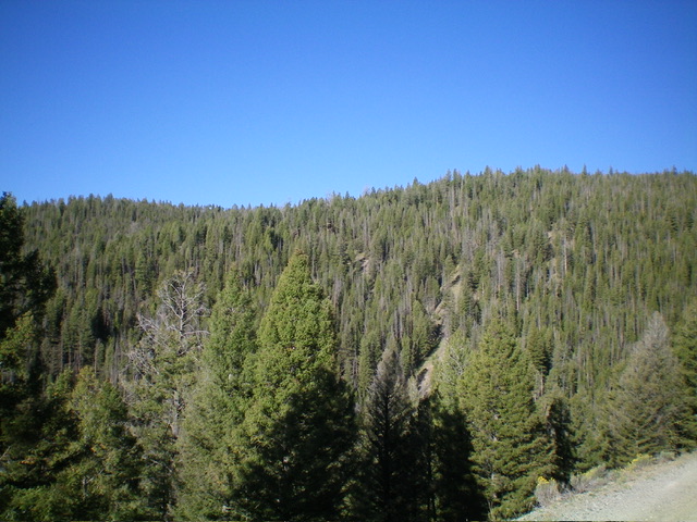
Peak 8019 is the high point on a forested subridge that separates Shovel Creek from Yellowjacket Creek. It is most easily climbed from FSR-112 to its east. USGS Blackbird Mountain
Peak 8019 as viewed from the east. Livingston Douglas Photo
Access
Drive west up FSR-112/Porphry Creek Road for 6.8 miles to a signed, 4-way junction of FSR-112, FSR-113, and FSR-110, head west on FSR-112 for 1.2 miles to a sharp left/south bend in the road at a narrow gully. Park here (7,900 feet; 44⁰59’47”N, 114⁰25’34”W).
East Face/Northeast Ridge, Class 2
The Climb
From the bend in the road, jump across a small stream. Bushwhack northwest then west up a steep shoulder in easy pine forest with a grassy understory. Angle left/west higher up to cross the east face and reach a visible ridge saddle on the northeast ridge of Peak 8019. From the 7,620-foot ridge saddle, bushwhack south then southwest from the open saddle through a thick but easy lodgepole pine forest with short grass underneath to reach Point 8006. Partway up, the terrain changes from lodgepole pines to mature pines with some deadfall.
Point 8006 is semi-open and obvious. Head southwest from Point 8006 on a narrow ridge in pine forest with copious deadfall. This is tiresome and brutal. Descend 60 vertical feet to a final ridge saddle. From the saddle, bushwhack southwest to the flat summit cap. There is no clear high point but it seems to be a tall, dead pine tree based on my altimeter readings. The summit has no cairn and offers no views. There were no signs of previous ascent.
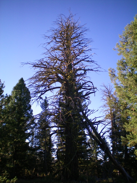
The massive dead tree that is the HP of Peak 8019. Livingston Douglas Photo
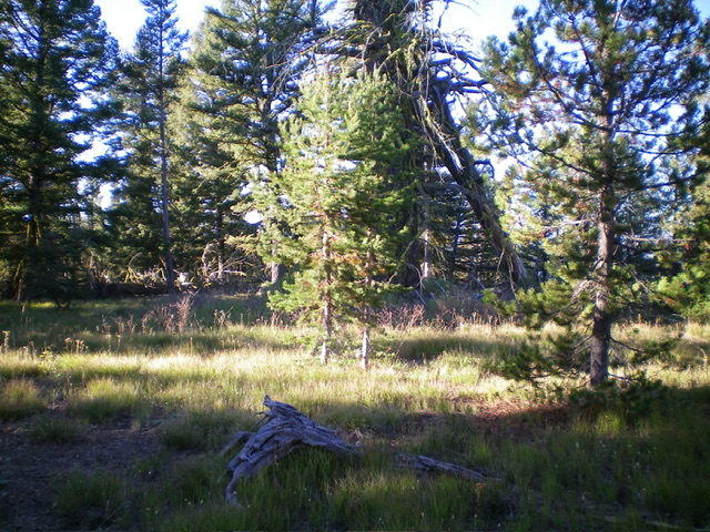
The forested summit area of Peak 8019. Livingston Douglas Photo
Additional Resources
Regions: Eastern Salmon River Mountains->Salmon River Mountains->WESTERN IDAHO->Yellowjacket Mountains
Mountain Range: Eastern Salmon River Mountains
Longitude: -114.4691 Latitude: 45.0301