Elevation: 8,021 ft
Prominence: 281
This peak is not in the book. Published November 2019
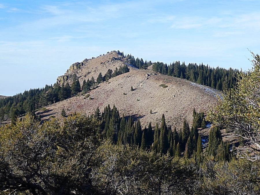
Peak 8021 is located due south of Silver City on a extensive ridge system that runs due south from the main Silver City Range crest. Its summit is a rugged ridge point with two points of nearly equal height. USGS Cinnabar Mountain
The North Ridge of Peak 8021.
Access
Access the peak from the Silver City Road [(A)(2) on Page 346]. After crossing New York Summit, the road begins its descent down to Jordan Creek and Silver City. The Slaughterhouse Gulch road leaves this road 0.5 miles below the pass. Turn left and follow the road southeast past the slopes of War Eagle Mountain. The road then climbs up to the ridge top south of War Eagle Mountain. It then follows the ridge south for just under a mile to a junction. Go right at this junction, staying on the ridge that leads to Peak 8021. The road drops steeply into a saddle just north of the peak. Park here. Dry conditions and a high-clearance 4WD vehicle are recommended.
North Ridge, Class 2
The road described above traverses the peak’s western slopes but you could undoubtedly climb the peak from any place along the road. The recommended route follows a fence line which climbs up the peak’s North Ridge. Follow the path along the west side of the fence uphill to the summit.
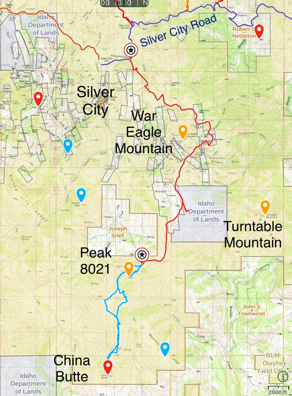
Access route from the Silver City Road (dark blue) to the north side of Peak 8021 (red). Hiking routes for Peak 8021 and China Butte (light blue)
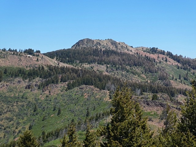
Peak 8021 viewed from the South.
Additional Resources
Regions: Owyhee Mountains->Silver City Range->SOUTHERN IDAHO
Mountain Range: Owyhee Mountains
Year Climbed: 2019
Longitude: -116.72339 Latitude: 42.97209