Elevation: 8,026 ft
Prominence: 486
This peak is not in the book. Published December 2020
Peak 8026 is a forested hump that separates Little Creek to its west from Ching Creek to its east. The easiest ascent route is the southeast ridge from the Aldous Lake/CDT Trailhead at the end of FSR-027/Aldous Lake Road. The south ridge is a much more punishing endeavor. Trust me. USGS Slide Mountain
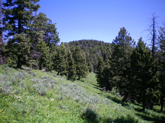
The forested summit cap of Peak 8026 as viewed from high on the south ridge. Livingston Douglas Photo
Access
From the north side of Kilgore, ID, drive north on [signed] Cottonwood Creek Road/FSR-026. At 3.9 miles, reach a [signed] junction with East Camas Creek Road. Continue straight on Cottonwood Creek Road. At 5.8 miles, reach the National Forest boundary. At 6.3 miles, reach a [signed] junction with FSR-027/Aldous Lake Road. Turn sharply right/southeast onto FSR-027 and drive 3.0 miles to a small saddle and park at a dispersed campsite on the saddle (7,120 feet). This ridge saddle is the connecting saddle between Peak 8026 and Peak 7415.
South Ridge, Class 2
The Climb
From the ridge saddle, bushwhack north up a shoulder that soon bends left-ish/northwest. The ridge soon steepens and a dreadful bushwhack in thick forest and massive blowdown begins. As the ridge steepens, it bends right-ish/north and reaches a rocky ridge corner. Go right-ish/northeast here and scramble up a narrow ridge section to reach a flatter ridge section. This flattish ridge section has some ups and downs and some VERY LARGE treefall that must be navigated. Thankfully, there is some open terrain here. This flat section seems to go on FOREVER, though it only measures at just over half a mile. Eventually, the forested summit cap appears dead ahead.
The ridge bends left-ish/north to make the final climb up through thick forest to the summit. Due to the thick pine forest, there are no views from the summit. The summit high point is a tall pine tree. I built a small cairn at its base. This climb is a punishing bushwhack and isn’t an easy navigational chore, particularly in descending the route to find the road saddle. The ridge is a combination of hidden rocky outcrops, dense forest, massive treefall, and thick brush. It is wicked and I do NOT recommend it.
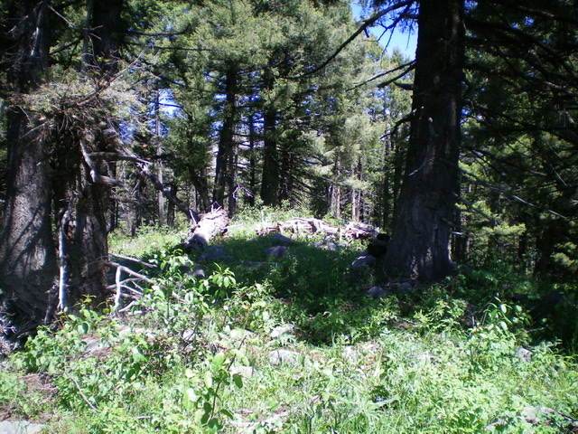
The forested summit area of Peak 8026. No views from here. Livingston Douglas Photo
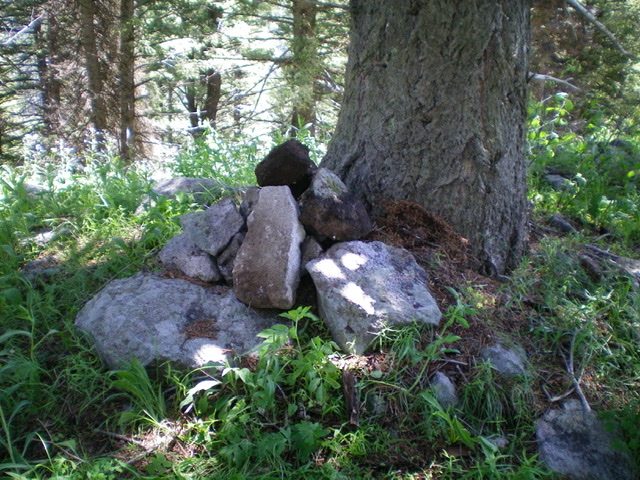
The summit tree and newly-built summit cairn atop Peak 8026. Livingston Douglas Photo
Additional Resources
Regions: Centennial Range->EASTERN IDAHO
Mountain Range: Centennial Range
Longitude: -111.85519 Latitude: 44.51401