Elevation: 8,084 ft
Prominence: 384

This peak is not in the book. Published November 2022
Peak 8084 is a seldom-climbed summit that is located on the north side of Blackspar Canyon and the west side of Copper Creek in the Pioneer Mountains. It is most easily via its southeast ridge from a foot trail along Copper Creek. USGS Star Hope Mine
Access
Drive north up Copper Creek Road/FSR-134 to a signed junction with the Garfield Canyon Road/FSR-228 (which goes to the Garfield Guard Station and beyond). Go left at this junction to stay on FSR-134. About 0.7 miles farther up FSR-134, reach a signed road junction in a large, open meadow. FSR-134 goes right here and follows Copper Creek. However, it is now closed to motorized vehicles and is only a foot trail. Park in this meadow (6,615 feet).
Southeast Ridge, Class 2
The Climb
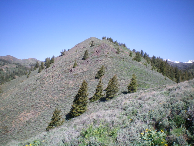
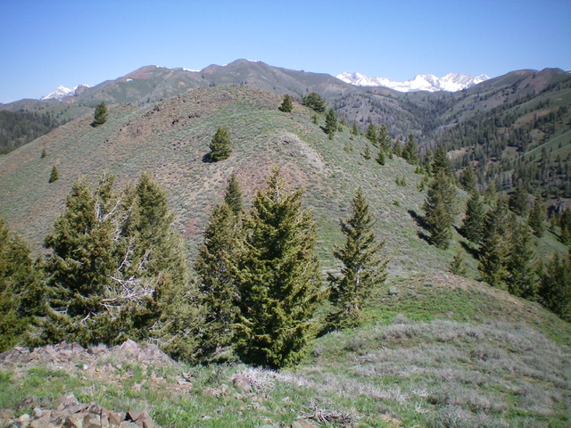
From the meadow, follow the remnants of FSR-134 (now just afoot trail) up the west side of Copper Creek for about a mile to reach the crossing of Blackspar Canyon Creek. Cross to the north side of this small stream and bushwhack through a marshy area to reach the toe of the southeast ridge. Follow a steep, gravelly game trail up the initial section of the [obvious] ridge. Once on the ridge crest, follow a game/use trail (on-and-off) up the ridge as the ridge weaves a bit and moves up through a variety of veg (sometimes thick sagebrush) and scattered pines.
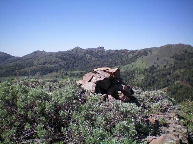
Sometimes the ridge is broad and poorly defined. At other times, the ridge is narrow and obvious. Higher up, the terrain is open sagebrush with several annoying ridge humps and saddles. The summit hump of Peak 8084 is not visible until you are atop Point 8000+, the final false summit. The true summit has a summit cairn.

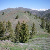
Looking up the southeast ridge of Peak 8084 from high on the ridge. The summit hump is not yet visible. Livingston Douglas Photo
Additional Resources
Regions: EASTERN IDAHO->Pioneer Mountains
Mountain Range: Pioneer Mountains
Longitude: -113.95989 Latitude: 43.64259

