Elevation: 8,100 ft
Prominence: 440

This peak is not in the book. Published November 2020
Peak 8100 towers over the confluence of Twin Bridges Creek and the Big Lost River along Trail Creek Road. It separates Lake Creek from Twin Bridges Creek. It is overshadowed by its neighbor to the north (Peak 8700) and other peaks in the immediate vicinity. All of that being said, it is a worthy scramble from Trail Creek Road. In all likelihood, you will have the entire mountain to yourself. USGS Harry Canyon
Peak 8100 (forested in center) and its rocky, rugged upper section on the south ridge (left) and east face (forested in center) and the gentle east shoulder (right of center). Livingston Douglas Photo
Access
Lake Creek (signed) is located 15.4 miles up Trail Creek Road from its junction with US-93 to the northeast. Park along a side road at the mouth of Lake Creek (on the right/west side of Trail Creek Road) at one of two dispersed campsites (6,830 feet).
East Shoulder/East Face/North Ridge, Class 3
The Climb
From the mouth of Lake Creek, hike briefly northwest up an old 2-track jeep road in the Lake Creek drainage. Cross left to the south side of a small stream/marsh and scramble west up through sagebrush on an obvious shoulder to the top of a bald hill. Drop 20 vertical feet to a minor saddle and continue west then southwest, aiming to climb to the summit ridge through the shortest section of forest. Veering too far left/south gets you into steep, rocky terrain. Angling farther right/north is easier terrain (sagebrush, no forest) but puts you farther away from the summit, which is located at the south end of the narrow summit ridge crest.
Reach the summit ridge at a minor saddle at the north end of the true summit “area.” This is an area of choppy, rocky outcrops with firs thrown in and ups-and-downs to boot. Not a fun place to be. I climbed a north summit point that is north of the ridge entry point across open terrain. That point is 70 vertical feet above the saddle but is 10 vertical feet lower than the south/true summit of Peak 8100. I did it “just to be sure.” From the minor saddle, scramble south up the narrow, rugged ridge crest to the point where it begins to descend. I stood on every potential high point and I seemed to find the highest point (if there is one). There was no cairn anywhere up here so I built a cairn atop the highest point.
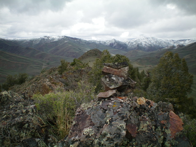
The newly-built summit cairn atop Peak 8100, looking north along the choppy, rocky north ridge. The north summit is the gentle hump in the center (mid-ground). It is 10 feet lower than the official south summit.
Additional Resources
Regions: Boulder Mountains->EASTERN IDAHO
Mountain Range: Boulder Mountains
Longitude: -114.11239 Latitude: 43.95859