Elevation: 8,150 ft
Prominence: 330
This peak is not in the book. Published November 2020
Peak 8150 is located in the Eastern Centennials. It separates Schneider Creek from Keg Spring Creek. Peak 8150 is easy to reach via Keg Spring Road/FSR-042 and its southeast face. Keg Spring is about 400 vertical feet below the peak and to its northeast. USGS Mount Jefferson
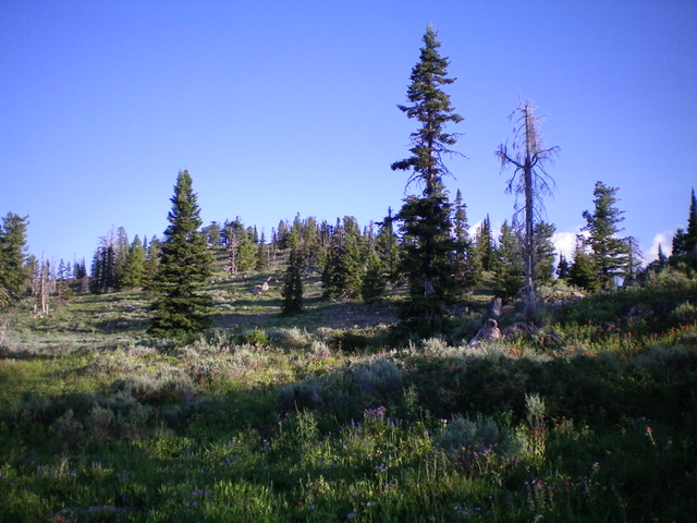
Semi-forested Peak 8150 as viewed from Keg Spring Road to its southeast. Livingston Douglas Photo
Access
Keg Spring Road/FSR-042 is signed and heads north from Clark County Road A-2, which quickly becomes the paved Yale-Kilgore Road just east of Keg Spring Road. Keg Spring Road is a short distance east of Taylor Creek Road on Clark County Road A-2. Drive as far up the somewhat-rough and steep Keg Spring Road as far as you wish. I parked 1.7 miles up the road to the base of a steeper, rockier road section (7,240 feet) and hiked the remainder of the way.
Southeast Face, Class 2
The Climb
From Keg Spring Road at a saddle crossing southeast of Peak 8150 (7,960 feet), bushwhack northwest through a mix of pines, blowdown, and brush/veg to reach the small, forested hump that is the summit. I built up the small summit cairn a bit. The summit offers a nice view of Sheridan Reservoir to its south, though views are constrained by the nearby pine trees.
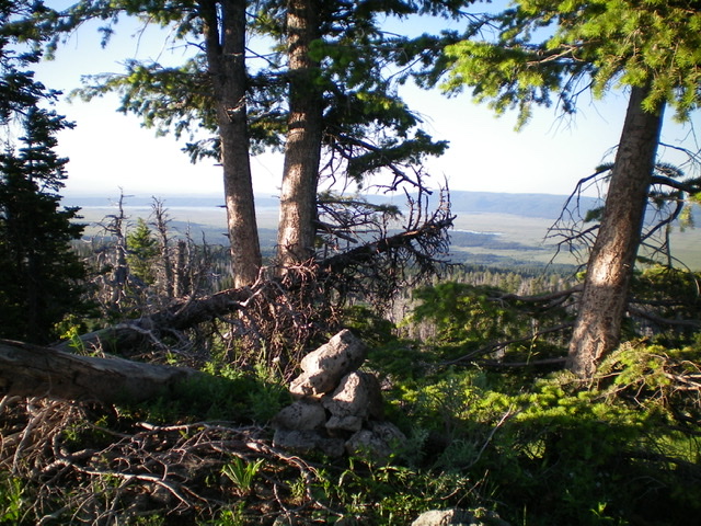
The small summit area atop Peak 8150. Livingston Douglas Photo
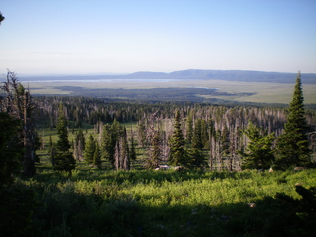
Looking south from the summit of Peak 8150. Sheridan Reservoir is in the distance. Livingston Douglas Photo
Additional Resources
Regions: Centennial Range->EASTERN IDAHO
Mountain Range: Centennial Range
Longitude: -111.62501 Latitude: 44.53319