Elevation: 8,172 ft
Prominence: 672
This peak is not in the book. Published November 2020
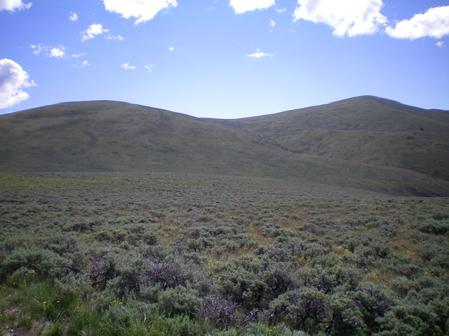
Horse Ridge is a broad, long, gentle ridge that separates Chandler Canyon to the west from Black Horse Canyon to the east. The easiest ascent route is from the Chandler Canyon Road/FSR-202 to its west. You may need an ATV or MC to make it that far up the [often-rutted] narrow 2-track road. The far-better Crooked Creek Road/FSR-178 to its east is a more feasible driving route and is the basis for the routes discussed below. USGS Copper Mountain
Access
From the junction of ID-22 and ID-28, drive east on ID-22 for 12.5 miles to a [signed] junction with Crooked Creek Road/FSR-178. Turn left/north onto Crooked Creek Road and reset your odometer. At 7.7 miles, go left at a signed junction. At 11.8 miles, reach BLM land. At 12.0 miles, reach a signed junction with Nicholia Canyon Road/FSR-275 (the road is incorrectly signed as FSR-278). Nicholia Canyon Road is badly rutted and very rocky so it is probably best to park at this junction and hike up the road. Park here (6,290 feet).
Northeast Face, Class 2
The Climb
From the base of Nicholia Canyon Road, hike west up the rocky, rutted jeep road for about 1.3 miles. Leave the road and bushwhack southwest up over an intervening ridge through easy sagebrush. There is a notable cattle cistern on the intervening ridge at this crossover point. Continue southwest across a plateau at the head of Black Horse Canyon through tedious, unending sagebrush. Cross a 2-track jeep road at the head of Black Horse Canyon and continue southwest then south to cross a prominent gully that leads directly to the summit of Horse Ridge.
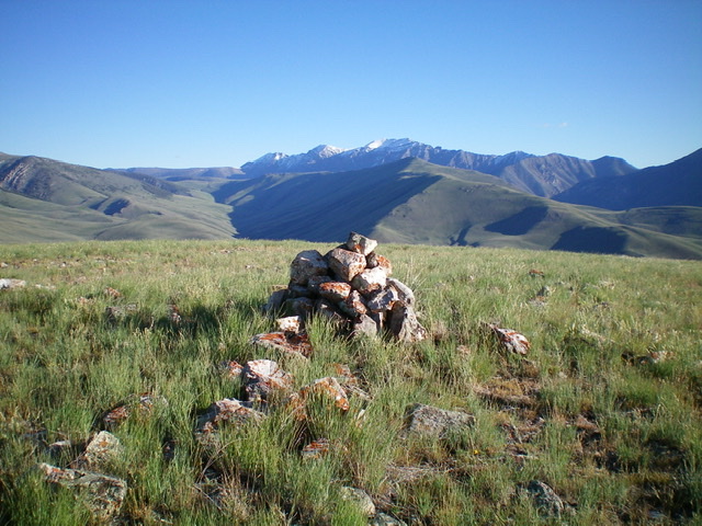
Scramble southwest up a shoulder on the left/east side of the gully to have easier going on short field grass with no sagebrush. The gully is a sagebrush mess. Once you reach the summit ridge, it is a short hike right/west to the high point of Horse Ridge. The summit had no cairn so I built one. I found a piece of protruding rebar in the ground next to the highest point/boulder.
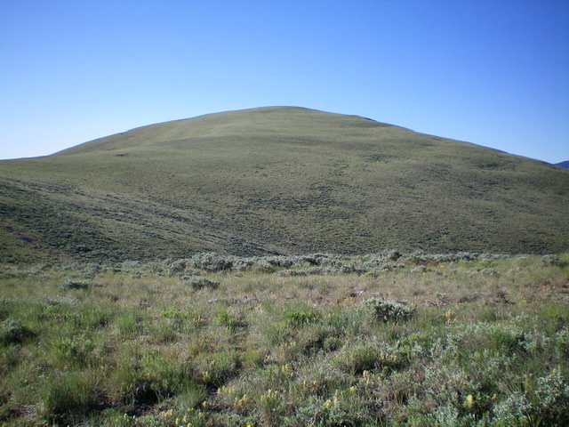
The summit hump of Horse Ridge as viewed from near Point 7976 to its north. Livingston Douglas Photo
Northwest Ridge/West Face, Class 2
The Descent
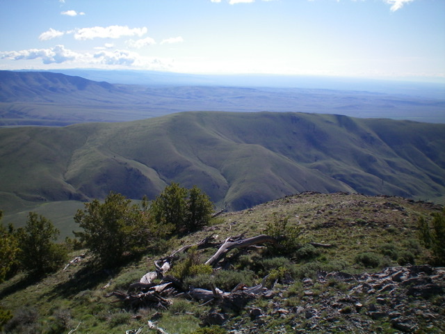
From the summit, follow the ridgeline north then northwest to Point 7976. From there, descend west through moderate grass then sagebrush to a saddle at 7,493 feet and a junction of 2-3 old jeep roads (now just grassy clear-cuts). This concludes the first leg of today’s two-peak journey. Bluebird Mountain is up next.
Additional Resources
Regions: Beaverhead Range->EASTERN IDAHO
Mountain Range: Beaverhead Range
Longitude: -112.75989 Latitude: 44.23101
