Elevation: 8,140 ft
Prominence: 320
This peak is not in the book. Published January 2023
Peak 8140 is the high point on a north-south ridgeline that separates Dry Creek from Salt Basin in the Gannett Hills. It is easily reach via an ATV trail (FST-834) and an old 2-track near the summit. Views from the summit are limited due to the nearby pine forest. The high point barely exceeds much of the surrounding sagebrush terrain and is most unimpressive. USGS Giraffe Creek
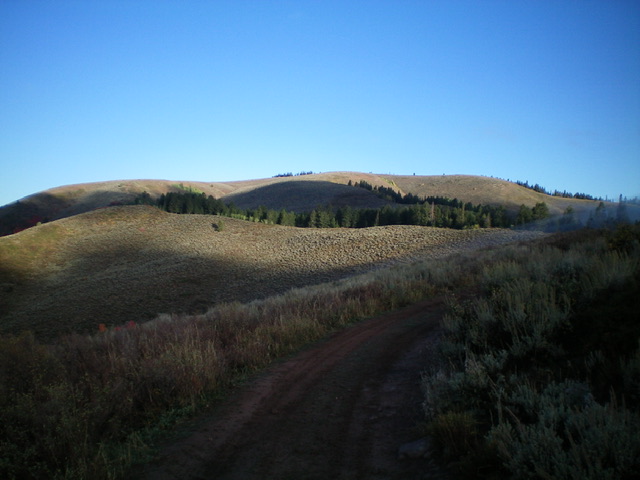
Peak 8140 as viewed from Point 7777 to its east. Livingston Douglas Photo
Access
From US-89 a few miles north of Geneva, turn left/west onto [signed] North Loop Road and drive 0.7 miles to a signed junction with Dry Creek Road/FSR-834. Turn right/north onto Dry Creek Road and reset your odometer. At 1.4 miles, reach the Caribou National Forest boundary. At 1.8 miles, reach a large parking area at the base of a steep, rocky section of the road. Park here (6,455 feet). GPS coordinates: 42⁰25’30”N, 111⁰04’14”W. The trailhead for FST-569 is also here. The road goes for another 0.2 miles to its end at a turnaround and parking area for the rugged ATV trail FST-834. You may or may not wish to drive that final 0.2 miles.
Map Errors
The USGS topo map fails to show the trailhead for FST-834 (a rugged, rocky, insanely-steep ATV trail). The USGS topo map shows FST-534 as “Trail 434” and shows it as a jeep trail but it is only a foot/horse trail.
South Ridge, Class 1
The Climb
From the parking area, hike 0.2 miles up FSR-834 to the trailhead for FST-834. Follow FST-834 up an insanely steep, rocky section early on. The rugged ATV trail climbs north then northeast then northwest on a rounded ridge for almost three miles all the way to an unsigned junction, cattle guard crossing, and fence row at 8,114 feet. From this junction, follow an old 2-track right/east for a short distance to reach the cairned high point of Peak 8140 in open terrain (mix of scrub and rocky outcrops). The summit is on a rocky outcrop just to the left/north of the 2-track. Visually, the scrub hill to the east appears to be slightly higher, BUT IT IS NOT.
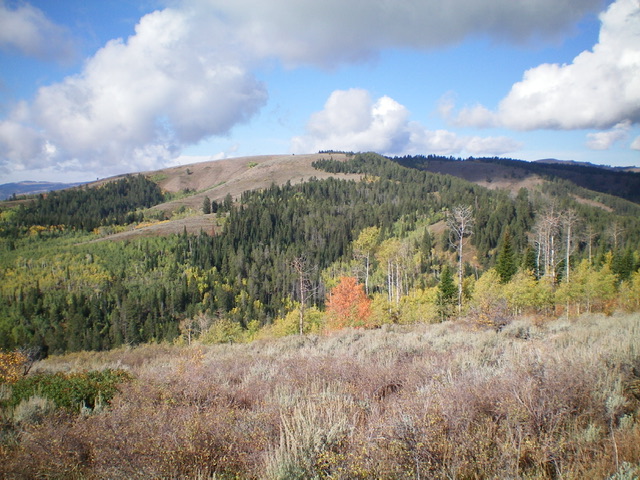
Peak 8140 (the high ridgeline) as viewed from FST-834 (an ATV trail) to its southeast, my ascent route. Livingston Douglas Photo
East Ridge, Class 2
The Descent
From the cairned summit, follow the old 2-track as it heads east along the ridge crest and begins a slow descent. It soon reaches its unceremonious end on a bluff just before the east ridge descends much more forcefully. From the road’s end, bushwhack east-northeast down through a tedious mix of thick sagebrush and other brush, aspens, some pines, and deadfall to reach a thick forest of pines, aspens, and brush. Bushwhack 50 vertical feet over a ridge hump then descend through steep forest that has ample blowdown and underbrush to find the hidden, forested connecting saddle with Peak 7820. FST-534 passes through this saddle. The 7,460-foot saddle is at the base of the east ridge and concludes the first leg of today’s 3-peak adventure. Peak 7820 is up next.
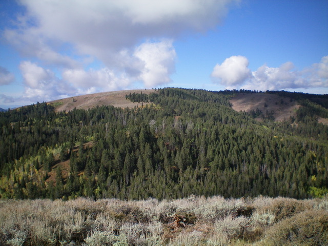
The east ridge of Peak 8140 (dead center), my descent route. Livingston Douglas Photo
Additional Resources
Regions: Gannett Hills->SOUTHERN IDAHO
Mountain Range: Gannett Hills
Longitude: -111.0778 Latitude: 42.4586