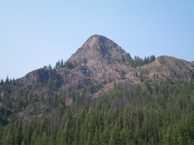
Elevation: 8,250 ft
Prominence: 550
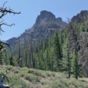
This peak is not in the book. Published November 2022
Peak 8250 is a rugged, rocky mess of ridge towers, steep face rock, and ugly chutes. It sits south of Yankee Fork Road and separates Fivemile Creek from Slaughterhouse Gulch. At best, Peak 8250 is a Class 3+ scramble and requires route-finding skills. Don’t take this one lightly. USGS Custer
Access
From ID-75, drive north from Sunbeam on [signed] Yankee Fork Road/FSR-013. At 8.3 miles, reach a signed junction with Loon Creek Road/FSR-172 (left). At 11.2 miles, reach an unsigned junction with Fourth of July Creek Road (right). Continue up Yankee Fork Road for another 0.2 miles to a nice, grassy pullout just past the toe of the northwest ridge (6,650 feet). You will pass [signed] Slaughterhouse Gulch just before reaching the forested toe of the northwest ridge.
Northwest Ridge/Southwest Chute, Class 3+
The Climb
From the roadside pullout, walk about 75 yards down Yankee Fork Road then bushwhack south through a short patch of easy pine forest to reach the [obvious] northwest ridge. The ridge begins on the left/east side of Slaughterhouse Gulch. Climb up the semi-open, forested ridge southeast then east-southeast up to a large, imposing ridge buttress. The terrain up to this point is open scrub on the right/south side of the ridge though the edge of the forest generally works well. Skirt below the massive buttress on its right/west side on steep, loose scree/gravel. Soon after passing the buttress, skirt past a series of crumbly ridge towers/outcrops and narrow gullies/chutes to climb a loose scree/gravel chute to regain the ridge.
Follow the steep ridge crest amidst scattered pines and steep, loose gravel with scrub mixed in to reach the base of the two summit blocks/towers. I’m still not sure which one is higher but, based on my route, I suspect that it’s the second one. Contour on the right/west side of the summit block complex at about 8,000 feet. Traverse past the second massive summit block/buttress to reach lower towers ahead and to your left/east. The summit high point cannot possibly be any farther south from here. Find a narrow chute heading left-ish to reach the summit ridge just south of the high point. Scramble up this steep chute. The chute is mostly Class 3 but, near its top, it is more of a chimney climb and goes at Class 3+. The rock/gravel in this chute is horribly loose and requires great care to retain your footing.
The top of this chute is glorious. You emerge onto the open crest of the southeast ridge. Unfortunately, the ridge blocks are massive and the ridge crest is impossibe. Move to the right/east of the ridge blocks and climb diagonally right up a short section of steep face rock (Class 3+) to find a left-leaning, steep chute that heads up to the summit area. The upper part of this chute goes at Class 3 and has a lot of loose talus in it. Once atop this chute, head left-ish and scramble up easy Class 2 talus/scree to the surprisingly-gentle summit area. There was a decent cairn on the high point and I built it up a bit.
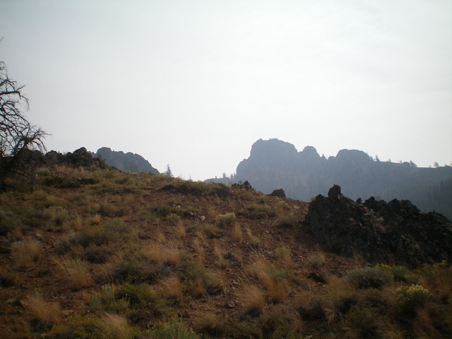
Rugged Peak 8250 as seen from midway up the northwest ridge, my ascent route. The troubles start with the large ridge buttress (somewhat hidden) in mid-ground, left of center in the photo. The summit block is well right of center. It is NOT the large ridge buttress just right of center in the photo. Livingston Douglas Photo
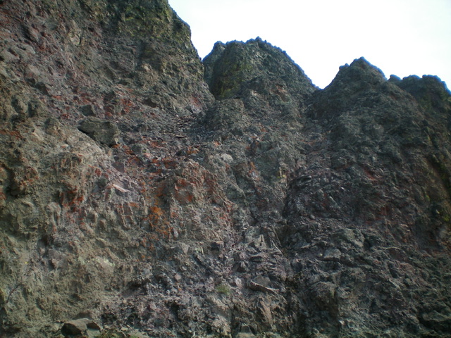
Looking at the upper chute on the southeast ridge from the top of the southwest chute. The upper chute is just left of center and requires a testy Class 3+ maneuver to reach its base. Livingston Douglas Photo
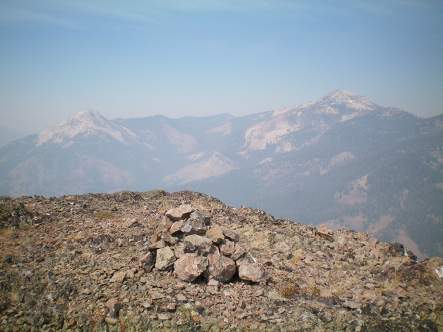
The summit of Peak 8250 with Bald Mountain (left) and Mount Greylock (right) in the distance on a smoke-hazy day. Livingston Douglas Photo
Additional Resources
Regions: Eastern Salmon River Mountains->Salmon River Mountains->Southeast Corner Peaks->WESTERN IDAHO
Mountain Range: Eastern Salmon River Mountains
First Ascent Information:
- First Ascent Year: 2021
- Season: Summer
- Route: Southwest Face
- Party: Brett Sergenian
- Other First Ascent: Northwest Ridge/Southwest Chute, Class 3+
- Year: 2022
- Season: Summer
- Party: Livingston Douglas
Longitude: -114.65369 Latitude: 44.39219
