Elevation: 8,253 ft
Prominence: 553
This peak is not in the book.
Petes Peak is located in the Lick Creek Range, east of McCall and Boulder Lake. Despite this close proximity to civilization, Petes Peak is not easy to reach. Use the link below to read John Platt’s trip report detailing his 8-hour odyssey that covered 15.6 miles with 5,155 feet of elevation gain. Class 2+. USGS Blackmare
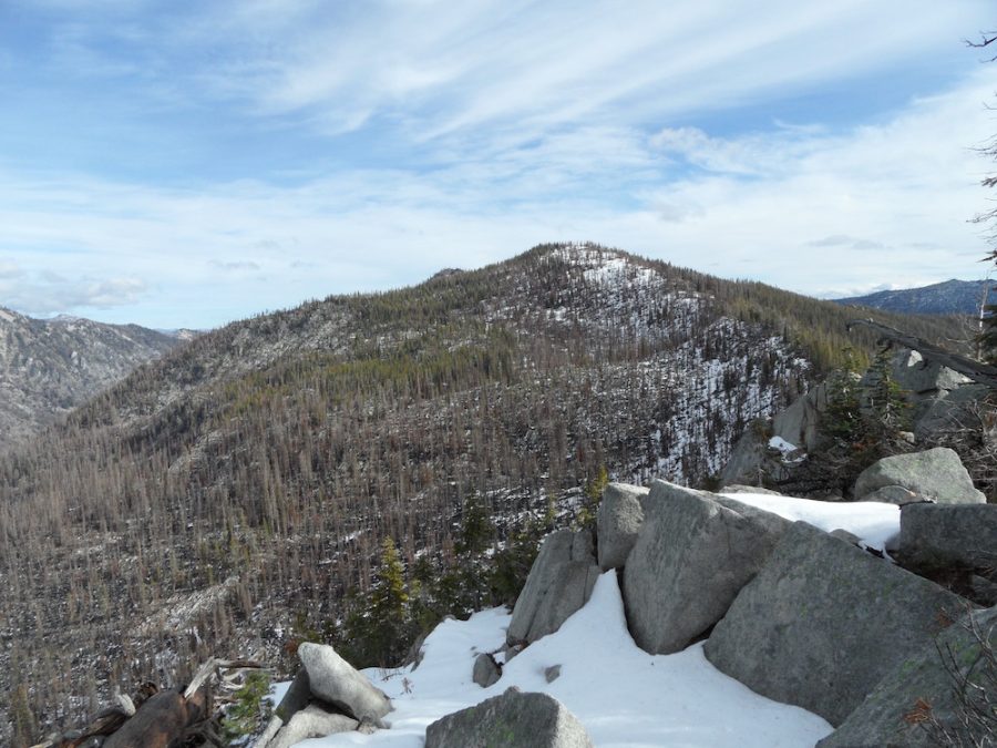
Petes Peak as viewed from the west. John Platt Photo
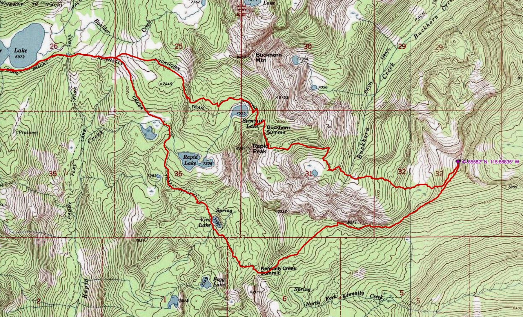
John Platt’s GPS track. The hike starts at the Boulder Lake trailhead, which is well off the left side of this map.
Additional Resources
Mountain Range: Western Salmon River Mountains
Longitude: -115.86839 Latitude: 44.85569