Elevation: 8,267 ft
Prominence: 727
This peak is not in the book. Published November 2023
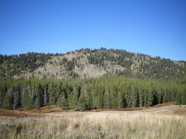
Peak 8267 is the high point on a ridgeline on the west side of Diamond Flat in the Webster Range. It is most easily reached from FSR-107 to its east. Although short, the bushwhack up the east face is a rather unpleasant experience. USGS Diamond Flat
Peak 8267 as viewed from the east. Livingston Douglas Photo
Access
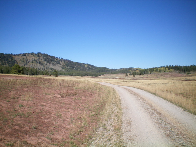
From ID-34, turn south onto [unsigned] Lanes Creek Cutoff Road. This unsigned junction is located 12.7 miles west on ID-34 from its eastern terminus and 5.5 miles west of the South Fork Trailhead parking area. Drive south (then southwest then south) on Lanes Creek Cutoff Road for 3.1 miles to an unsigned junction with FSR-107/Lander Cutoff Road. Turn left/east onto FSR-107 and reset your odometer. At 6.1 miles, cross Flat Creek. At 8.3 miles, reach an unsigned junction with a side road (not shown on maps) that heads right/west. Drive 0.1 miles west on this 2-track road to its end at a parking area on a bluff. Park here (7,475 feet; 42⁰51’57”N, 111⁰13’33”W). This bluff is at the north end of Diamond Flat.
East Face, Class 2+
The Climb
From the parking area, Peak 8267 is due west and is obvious. A gully separates this bluff from the forested east face. Descend west in field grass/brush (easy) and cross the [mostly-dry] Boulder Creek drainage at the base of the pine forest on the east face. The stream crossing is 60 feet below the bluff. From the creek drainage, bushwhack west up through a young pine forest. This is easy at first without much brush or deadfall and is not too steep.
Find a forested shoulder that steepens and becomes thick with nagging underbrush (short willows and aspens) and more deadfall. Higher up, the shoulder morphs into more of a face. Aspens join the mix as well as larger patches of thick willows. There is a very steep section that is thick with willows. Move left/south to stay on a shoulder of sorts for a bit easier going. This shoulder has scattered, mature pines on it. Contrary to the USGS topo map, the east face is mostly forested with scattered pines and numerous aspens on its upper half.
Reach the summit ridge at about 8,200 feet. This ridge entry point is in open terrain and is south of the high point. Scramble right/north up through thick scrub and short willows to reach the narrow, thick summit crest. The high point is two fallen tree logs. There were remnants of a torn-down summit cairn so I built a decent cairn on the high point. The summit offers limited views due to the nearby pine trees.
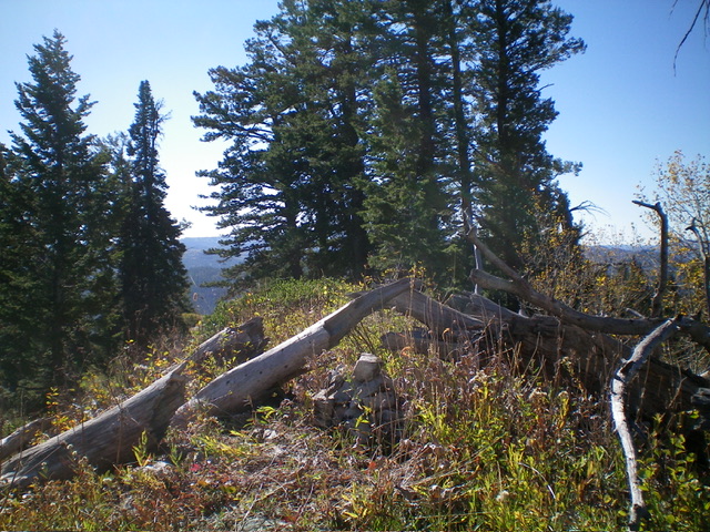
The summit of Peak 8267 with its newly-built summit cairn. Livingston Douglas Photo
Diamond Flat as viewed from its south end. Peak 8267 is left of center. Livingston Douglas Photo
Additional Resources
Regions: Peale Mountains->SOUTHERN IDAHO->Webster Range
Mountain Range: Peale Mountains
Longitude: -111.2429 Latitude: 42.8665