Elevation: 8,269 ft
Prominence: 329
This peak is not in the book. Published November 2022
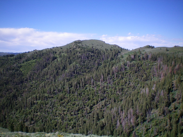
Peak 8269 is located near the mouth of Bear Gulch and at the head of Larkspur Gulch. The most direct route to the summit is from the Bear Gulch trailhead just off Hyndman Creek Road/FSR-203 in the Sawtooth National Forest. A longer, but easier, ascent route follows the Bear Gulch Trail and then climbs the east shoulder or north ridge to the top. USGS Hyndman Peak
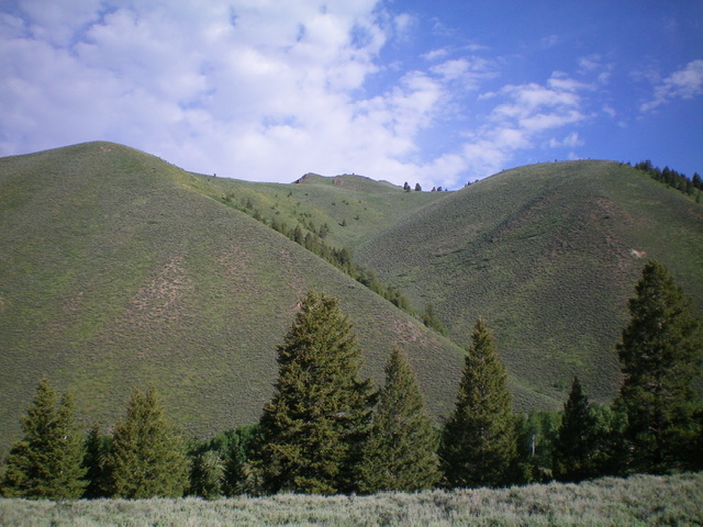
Peak 8269 as viewed from Hyndman Creek Road to its east. The summit is in dead center. Livingston Douglas Photo
Access
From the unsigned junction of East Fork Road and Hyndman Creek Road/FSR-203, drive north on Hyndman Creek Road for 2.7 miles to the signed [left] turnoff for the Bear Gulch trailhead. Drive 0.1 miles west on a primitive 2-track road to reach the trailhead. Park in the tall grass near the trailhead. Apparently, this trailhead is only occasionally used. The parking area is at 6,700 feet. GPS coordinates: 43⁰41’00”N, 114⁰12’57”W.
East Shoulder/Southeast Ridge, Class 2
The Climb
From the Bear Gulch trailhead, jump across Bear Gulch Creek (a small stream) and scramble west up the steep veg at the base of the east shoulder (with a loose scree/gravel base) to reach easier, less-steep terrain higher up. The sagebrush and other veg is endless and there are scattered pines early on. After a few hundred feet of uphill, the shoulder gains definition and bends right/northeast. The ridge reaches a flattish area at 7,860 feet and turns left/west. The terrain gets a bit confusing here. Where is the summit?
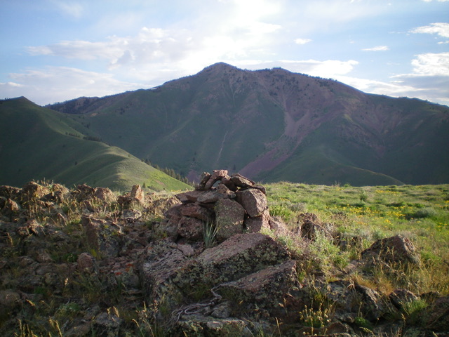
Scramble west through a mix of scree and sagebrush to reach a north-south subridge. It is narrow and rocky, very UNLIKE the rounded east shoulder of sagebrush that you just climbed. The narrow, rocky subridge ends pretty quickly and you must head left/west, drop slightly to a minor saddle, then continue west to the narrow, rocky summit ridge area. The southeast ridge wiggles a lot in its final 400-foot push to the summit. There is a summit cairn on the high point of Peak 8269. The summit offers a magnificent view of the south ridge of Johnstone Peak to its north.
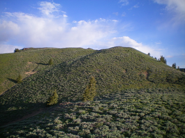
The final push up the southeast ridge of Peak 8269. The summit hump is well left of center. Livingston Douglas Photo
Additional Resources
Regions: EASTERN IDAHO->Pioneer Mountains
Mountain Range: Pioneer Mountains
Longitude: -114.23549 Latitude: 43.68719
