Elevation: 8,300 ft
Prominence: 400
This peak is not in the book. Published January 2020
Peak 8300 is located south of Needles Summit and southwest of Square Top. It is a round-shaped peak with lots of exposed granite. USGS Blackmare
Peak 8300 as viewed from Needles Summit. John Platt Photo
Access
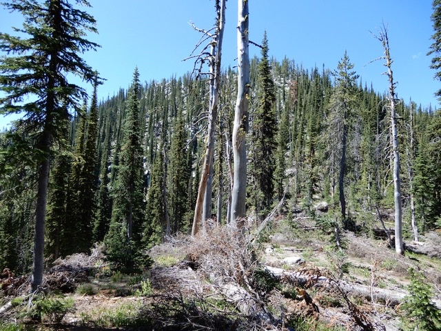
From Kennally Creek Campground, follow FST-101 to Needles Summit [(B)(5)(b) on Page 136]. John Platt reports: “Trails are in great shape. You must navigate several trail junctions. Fairly shady but also buggy. There are a few downed trees here and there, but you can make good progress all the way to Needles Summit.”
The name “Needles Summit” actually refers to 2 passes that are below Peak 8449 and above the Gold Fork drainage. Follow the trail to the first (westernmost) pass.
North Ridge, Class 4
Climb the Class 2 North Ridge to the granite-encrusted summit area where there are several potential high points. Use the link below to read John Platt’s trip report.
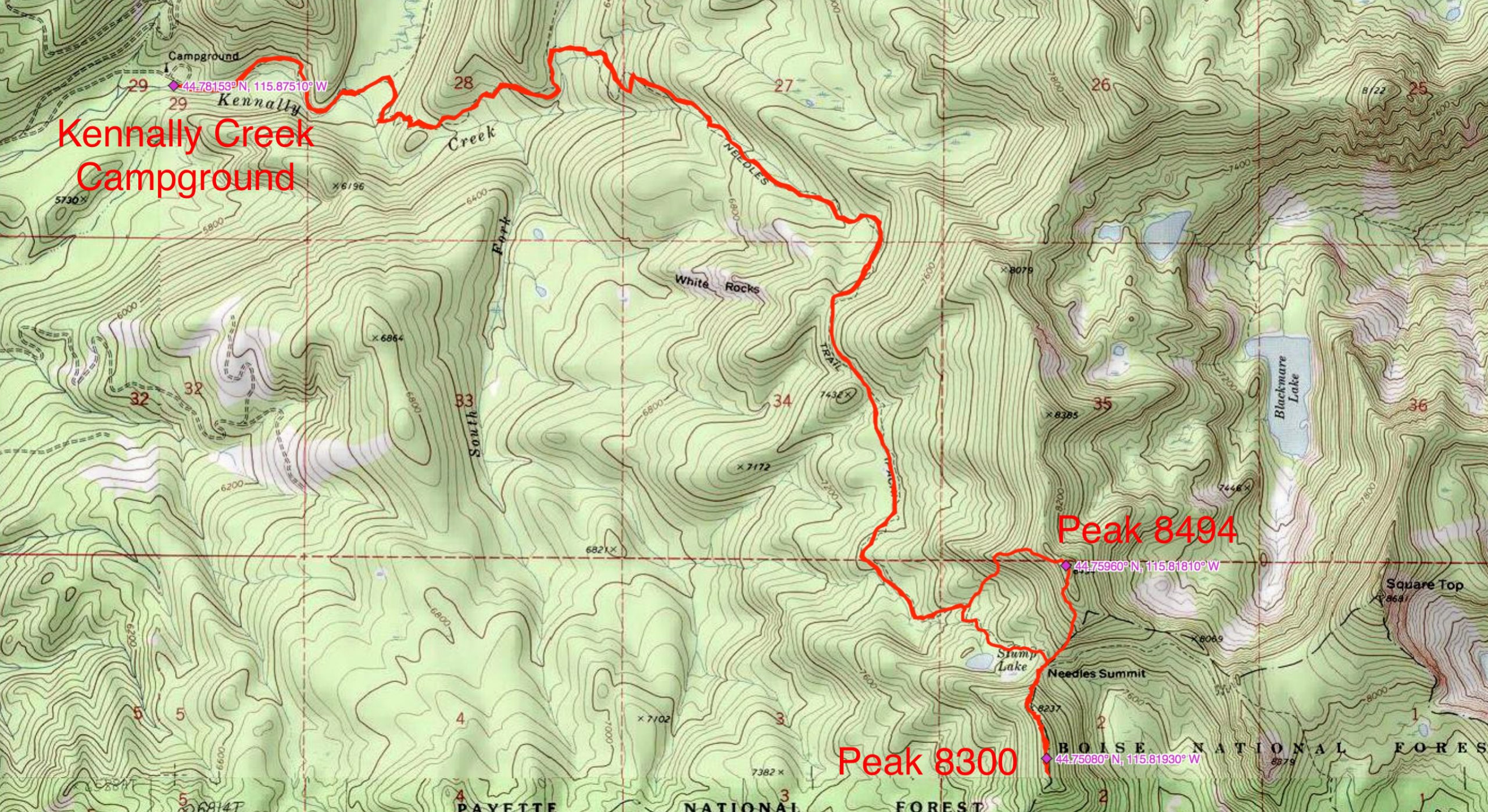
John Platt’s GPS track for climbing Peaks 8494 and 8300. Round-trip stats: 12.9 miles with 3,737 feet of elevation gain.
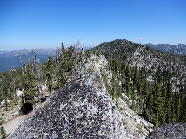
The view from the summit of Peak 8300, looking toward the pass and showing the false summits. John Platt Photo
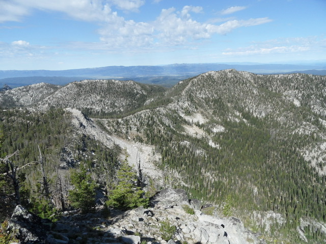
The view from the summit of Square Top. Peak 8300 is on the left/center (farther south). Peak 8494 is on the right. Long Valley is in the background. John Platt Photo
Additional Resources
Mountain Range: Western Salmon River Mountains
Longitude: -115.81929 Latitude: 44.75079