Elevation: 8,301 ft
Prominence: 311
This peak is not in the book. Published January 2023
Peak 8301 is a forested hump that sits above the junction of Smoky Canyon Road and the Smoky Canyon Phosphate Mining Road. It provides a birds-eye view of the nearby, active phosphate mining operation to its east. USGS Stewart Flat
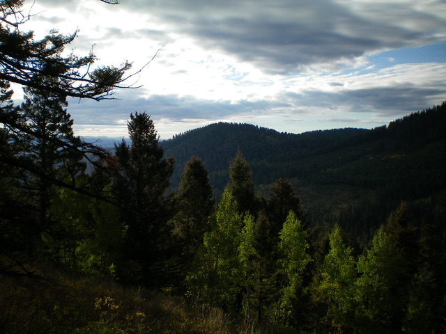
Peak 8301 (dead center) as viewed from Peak 8780 to its northwest. Livingston Douglas Photo
Access
Park in a large parking area on the south side of Smoky Canyon Road just up from the signed junction of Smoky Canyon Road/FSR-110 and the Smoky Canyon Phosphate Mining Road (7,235 feet).
North Face/Northeast Ridge, Class 2
The Climb
From the parking area, cross a short patch of open scrub just above the parking area and enter the thick pine forest to the left/south. Jump across a small stream and bushwhack south-southwest up an ill-defined ridge in thick forest with lots of underbrush and blowdown. At about 7,500 feet, cross a clear cut (the remnants of an old jeep road that is still shown on the USGS topo map) and continue up into easier forest. Soon after the clear cut, join the north ridge which is better defined than the ridge/face up to this point.
Follow a weak game trail near the ridge crest to avoid the worst of the brush and downed timber. There is no open terrain on this climb except for the clear cut crossing and the summit area. The summit of Peak 8301 had a torn-down cairn so I rebuilt it and made it much larger. The summit offers nice views of the surrounding area. There are a few spots on the upper ridge where you can get clear views of the nearby phosphate mining operation, which is huge. The aforementioned clear cut has a decent foot trail in it and offers an alternative to the initial bushwhack up through the thick forest. This is a longer route and it begins at the 0.7-mile point up Smoky Canyon Road/FSR-110. It begins 300 feet higher in elevation and so that’s also helpful.
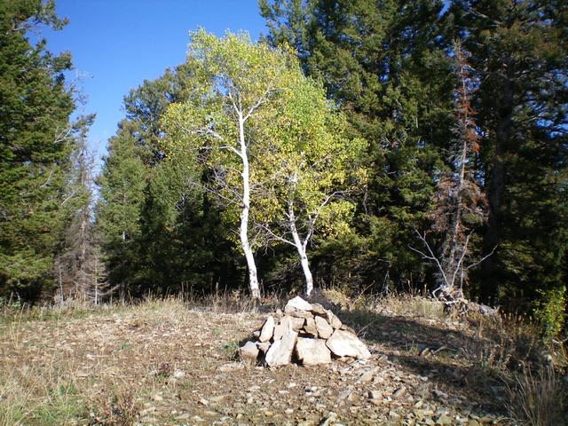
The newly-built summit cairn atop forested Peak 8301. Livingston Douglas Photo
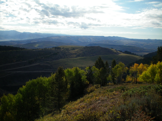
View of Peak 8010 (in mid-ground) and its active phosphate mining operation from Peak 8301 to its northwest. Livingston Douglas Photo
Additional Resources
Regions: Peale Mountains->SOUTHERN IDAHO->Webster Range
Mountain Range: Peale Mountains
Longitude: -111.1405 Latitude: 42.6991