Elevation: 8,302 ft
Prominence: 482
This peak is not in the book. Published June 2019
Peak 8302 is located due west of Box Lake, north of McCall. USGS Box Lake
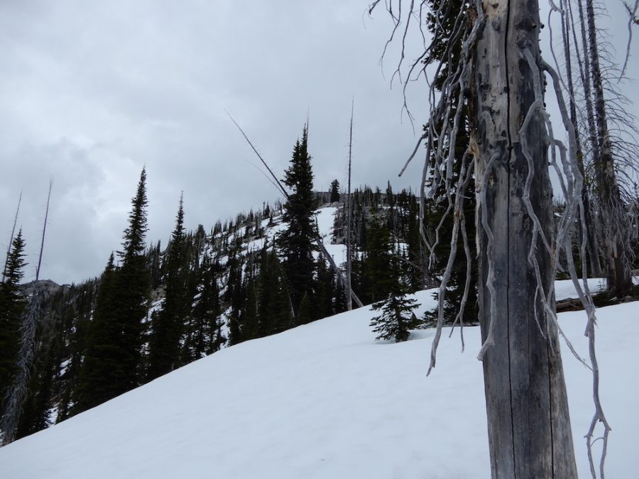
Peak 8302 as viewed from the south. John Platt Photo
Access
Access from McCall is via Lick Creek Road [(B)(3) on Page 136]. Google Maps will give you accurate directions to the trailhead which is 16.0 miles from McCall. When the road is dry and graded, most passenger cars can make it to the trailhead if driven carefully.
Southwest Slopes, Class 2+
Follow the Box Lake Trail until you reach the pass above Box Lake. This point is southwest of the peak at roughly 7,550 feet. Climb the peak’s Southwest Slopes to the summit. John Platt reports the round trip at 6.4 miles with 2,900 feet of elevation gain. His trip report is linked below.
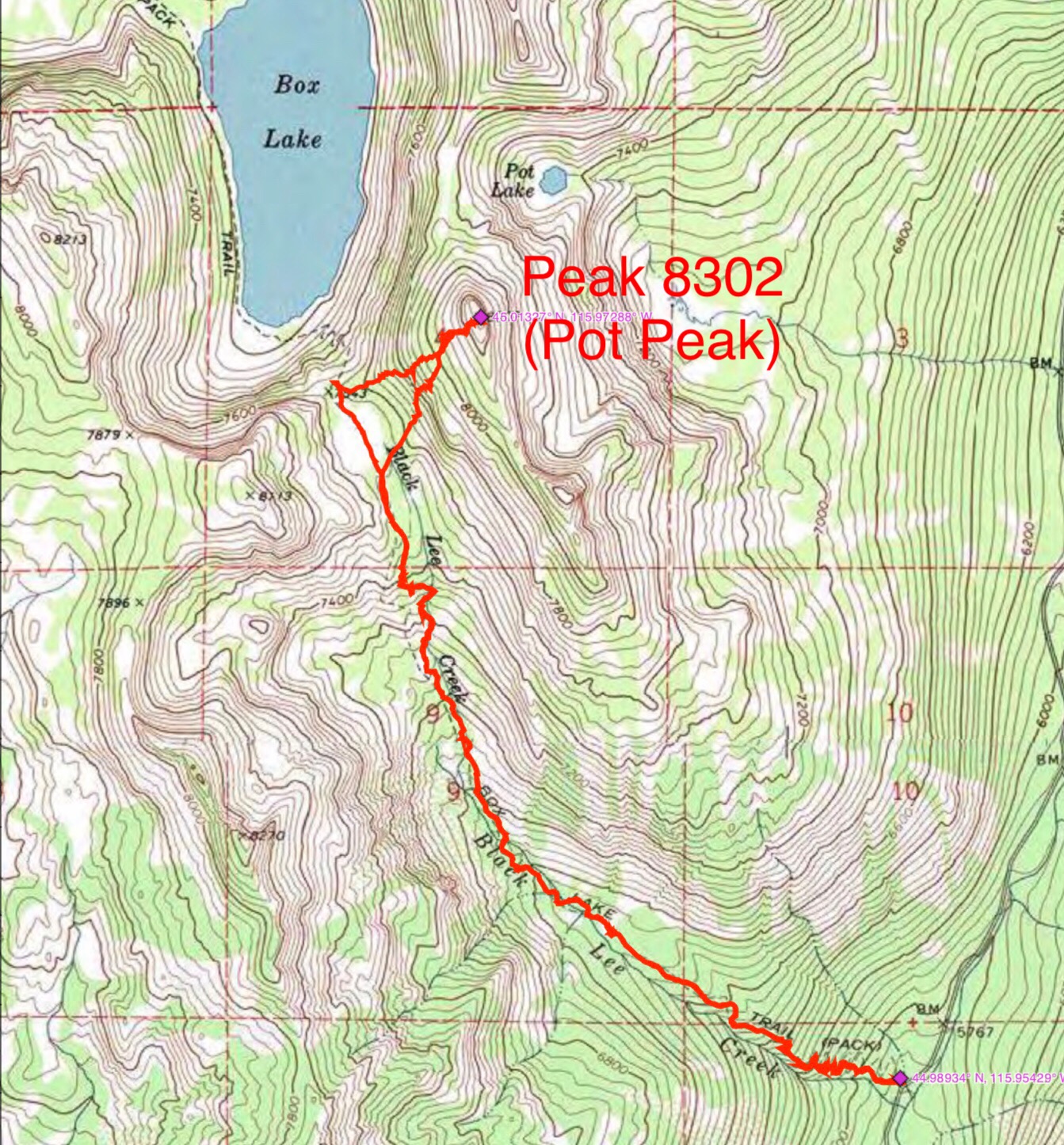
John Platt’s GPS track.
Additional Resources
Mountain Range: Western Salmon River Mountains
Longitude: -115.97301 Latitude: 45.01329