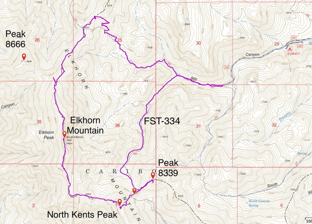
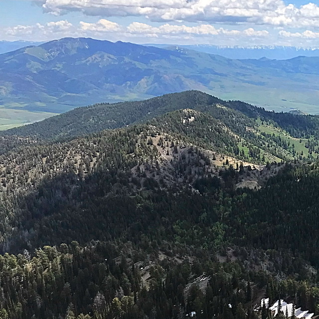
Elevation: 8,339 ft
Prominence: 319
This peak is not in the book. Published June 2020
Peak 8339 is located southeast of Elkhorn Mountain. USGS Elkhorn Peak
Access
Malad Summit Road crosses over I-15 (no exit here). It is located 8.1 miles SSW of Downey on the Old Malad Highway. Set your altimeter to 0.0 at the junction of Malad Summit Road and the Old Malad Highway and begin your drive westward up Malad Summit Road. At 2.1 miles, you reach the Caribou National Forest boundary. The road now becomes FSR-041. At 3.0 miles, you reach the Summit Campground (LHS of the road). The road continues past the campground to the trailhead. This section of road is narrow and rough. A high clearance vehicle is recommended.
West Ridge, Class 2
Follow FST-334 to the saddle west of the summit. Leave the trail and make the short hike up the west ridge to the rocky summit.
Additional Resources
Regions: Bannock Range->SOUTHERN IDAHO
Mountain Range: Bannock Range
Year Climbed: 2020
Longitude: -112.30729 Latitude: 42.32669
