Elevation: 8,340 ft
Prominence: 360
This peak is not in the book. Published November 2020
Peak 8340 is located northwest of Targhee Pass on the Continental Divide in the Henrys Lake Mountains. It is a rather insignificant, forested bump that offers no views. Peak 8340 shares the same ridgeline as the more impressive Lionhead (9,574 feet) and Bald Peak (10,180 feet) to the northwest. ID/MT boundary marker #713 is on the forested high point of Peak 8340 not southeast of it on a ridge corner as the USGS topo map indicates. USGS Targhee Pass
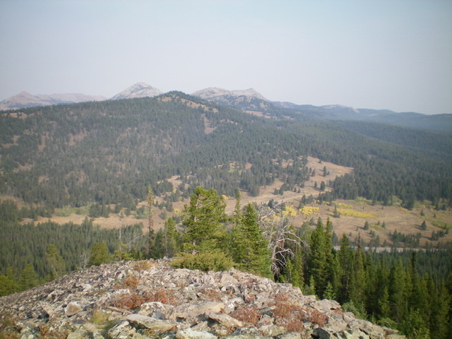
Peak 8340 (forested in mid-ground, left of center) as viewed from across Targhee Pass to the southeast. Livingston Douglas Photo
Access
Targhee Pass (7,072 feet) is located along US-20 a few miles west of West Yellowstone, MT. Park near the base of the jeep road on the north side of Targhee Pass.
Southeast Ridge, Class 2
The Climb
From Targhee Pass, hike up the jeep road/CDT on the north side of the pass for about 0.3 miles to the crossing of an open shoulder. This is the southeast ridge of Peak 8340. Leave the road/CDT here and hike northwest in open grass on the rounded, ill-defined ridge crest. Stay left/southwest of the pine forest. You will soon find a use trail on the ridge crest in the open field grass. The ridge soon bends left-ish/west and goes through some semi-open forest then bends right-ish/northwest and enters more open terrain (field grass) on the left/southwest side of the ridge/forest. At about 8,000 feet, the ridge bends left-ish/west again and climbs up to 8,200 feet in open scrub/grass.
The ridge finally bends right-ish/northwest again in a final short push to the ridgeline summit. There is a small ID/MT boundary marker on the high point but no summit cairn. The forest is dominant here and there are no views. Not sure if this was the high point (and thinking that the boundary marker was southeast of the true summit as per the USGS topo map), I continued northwest and bushwhacked down through thick forest to a saddle (losing 100 vertical feet in so doing) and up to the next point along the forested ridge. Alas, the original high point was the correct one (by only 10 vertical feet according to my altimeter) so I returned to it and took some photos. All in all, a most unsatisfying peak climb, particularly when you have previously stood atop nearby Lionhead and Bald Peak.
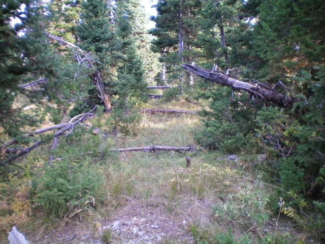
The summit area of Peak 8340. Livingston Douglas Photo
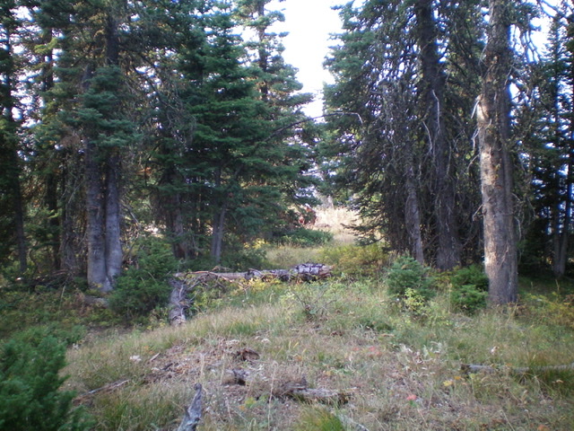
Another view of the forested summit area of Peak 8340. Livingston Douglas Photo
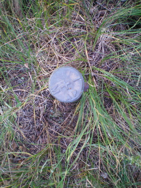
The ID/MT boundary marker (#713) atop the true summit of Peak 8340. Livingston Douglas Photo
Additional Resources
Regions: EASTERN IDAHO->Henrys Lake Range
Mountain Range: Henrys Lake Range
Longitude: -111.29301 Latitude: 44.68779