Elevation: 8,379 ft
Prominence: 319
This peak is not in the book. Published January 2020
Peak 8379 is located southwest of Square Top and south of Needles Summit in a remote section of the Southern Lick Creek Range. USGS Blackmare
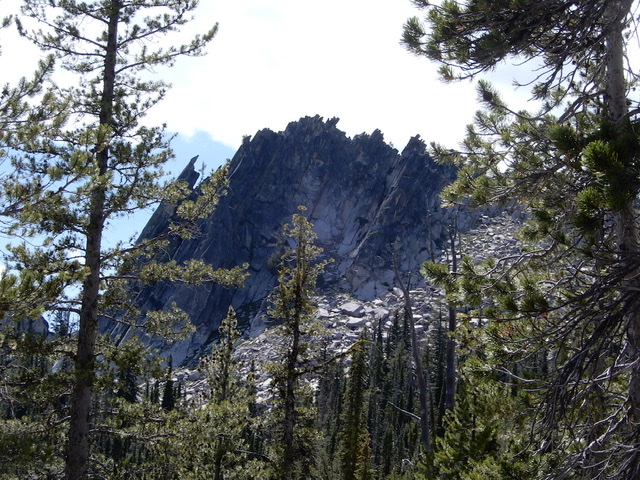
Peak 8379. John Platt Photo
Access
From Kennally Creek Campground, follow FST-101 to Needles Summit [(B)(5)(b) on Page 136]. John Platt reports: “Trails are in great shape. You must navigate several trail junctions. Fairly shady but also buggy. There are a few downed trees here and there, but you can make good progress all the way to Needles Summit.“ The name “Needles Summit” actually refers to 2 passes that are below Peak 8449 and above the Gold Fork drainage. Follow the trail to the second pass.
West Face, Class 3
John Platt climbed Peak 8379 via its West Face. His trip report is linked below. From the trail, the route crosses the peak’s lower West Face and then climbs up the large gully that splits the face. The high point is on the right side of this gully. John relates “From the saddle at the top of the gully, I scrambled up in a southeast direction, then moved north. The final move was a short, exposed traverse along the East Side of a block, then up onto the summit block. A total of about 30 vertical feet of climbing.”
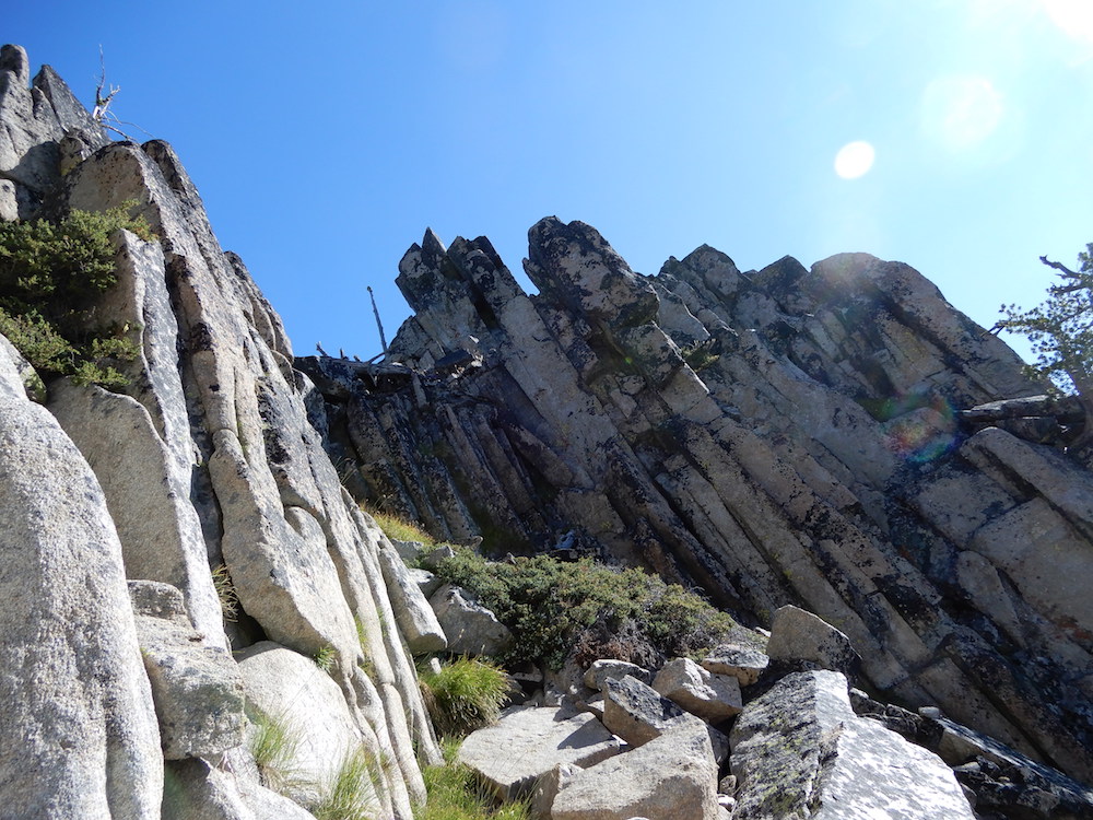
The gully that splits the West Face. The summit is left of center. John Platt Photo
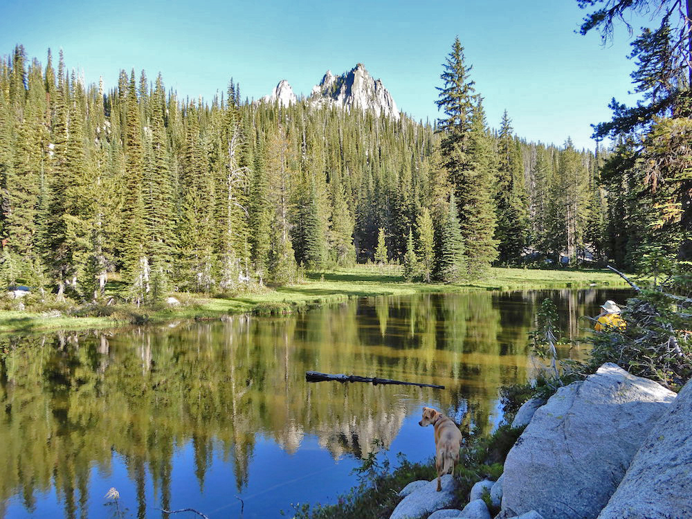
Peak 8379 as viewed from the small lake to the northwest. John Platt Photo
Additional Resources
Mountain Range: Western Salmon River Mountains
Longitude: -115.80519 Latitude: 44.75101