Elevation: 8,388 ft
Prominence: 312
This peak is not in the book. The elevation and prominence figures are based on recent LiDAR updates. The USGS quad shows an elevation of 8,384 feet. Published October 2025
Thanks to LiDAR updates, Peak 8388 is now a ranked summit. It sits on a high, bumpy ridgeline due south of Peak 8437. USGS Deep Creek Peak
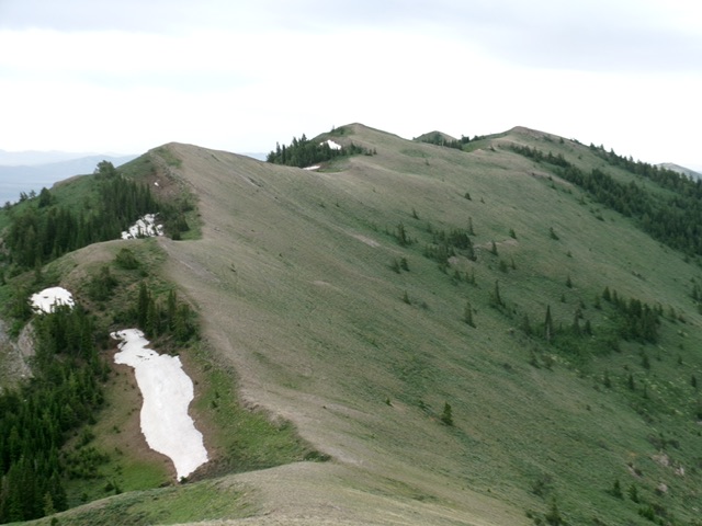
Peak 8388 and its weaving, undulating north ridge (my ascent route). The summit is the farthest hump to the right. Livingston Douglas Photo
Access
Same as for Peak 8437. This is the second leg of a 2-peak adventure that includes Peak 8437 and Peak 8388. It covers 6.0 miles with 2,865 feet of elevation gain round trip.
North Ridge, Class 2
The Climb
From the 8,100-foot connecting saddle with Peak 8437, follow the undulating ridge crest southeast then south then southwest to the summit of Peak 8388. The 2-mile ridge traverse from Peak 8437 to Peak 8388 and back to the top of Peak 8437 requires 1,030 feet of elevation gain round trip. The north ridge of Peak 8388 has many ups and downs and is much rockier than the easy scrub of the south ridge of Peak 8437. There are a few rocky ridge outcrops along the way and lots of loose scree to contend with. Don’t be confused by Point 8360+. It is NOT the summit of Peak 8388. Rather, it is the final false summit hump on the way to the true summit. I built a nice cairn atop Peak 8388 for future climbers to enjoy.
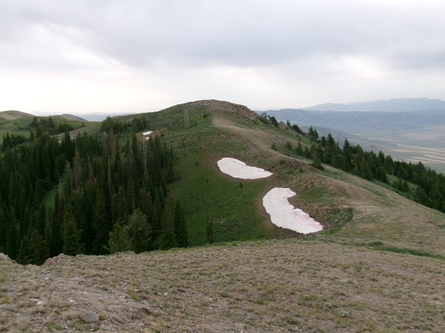
The summit hump (dead center) as viewed from Point 8360+ to its north. Livingston Douglas Photo
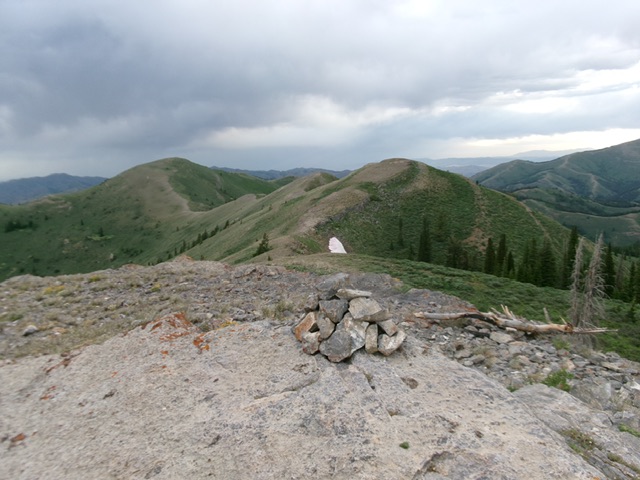
The summit of Peak 8388 with the north ridge in center and Peak 8437 left of center in the distance. Livingston Douglas Photo
Additional Resources
Regions: Deep Creek Mountains->SOUTHERN IDAHO
Mountain Range: Deep Creek Mountains
Longitude: -112.71622 Latitude: 42.42961