Elevation: 8,435 ft
Prominence: 295
This peak is not in the book. Published November 2023
Peak 8435 is located on a ridgeline that separates Spring Creek from East Fork Spring Creek in the Bitterroot Mountains. It is a minor hump on the southeast ridge of Peak 8586. Peak 8435 is most easily climbed via its northwest ridge from FSR-038. USGS Shoup
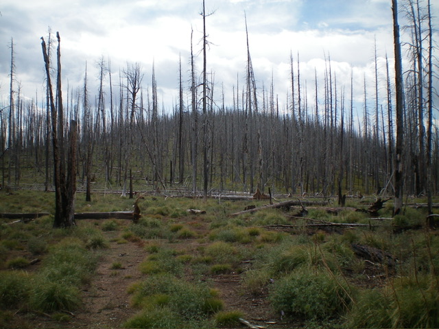
Peak 8435 (hump in center) as viewed from midway up the northwest ridge. Livingston Douglas Photo
Access
From US-93 at North Fork, drive west on FSR-030/Salmon River Road for 16.3 miles to a signed junction with FSR-038/Spring Creek Road, just after passing the Spring Creek Campground on the left/south side of the road. Turn right/north onto FSR-038 and drive 10.7 miles to a roadside pullout at an unsigned junction with an old 2-track road that heads left/southeast. Park in a roadside pullout here (8,165 feet).
Northwest Ridge, Class 2
The Climb
From the roadside pullout, follow the old, overgrown 2-track road as it heads southeast up onto the rounded, flattish northwest ridge after an initial 20-foot descent. This is in a burn area with lots of standing snags. The downed timber makes the bushwhack a little tedious. The old 2-track turns south to climb up over Point 8208, which is barely perceptible.
From Point 8208, bushwhack southeast then south-southeast on the remnants of an old 2-track road (not shown on maps) to reach the base of the steeper, more thickly-forested summit hump of Peak 8435. The snags get pretty thick here (see photo). The summit is surprisingly open and is a minor rocky outcrop. There is no summit cairn. There is an old hunter’s blind nearby, southwest and down a short distance on the ridgeline.
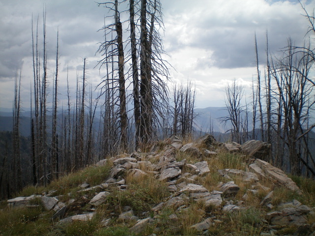
The summit of Peak 8435. Livingston Douglas Photo
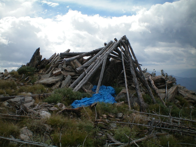
An abandoned hunter’s blind near the summit of Peak 8435. Livingston Douglas Photo
Additional Resources
Regions: Bitterroot Mountains->NORTHERN IDAHO
Mountain Range: Bitterroot Mountains
Longitude: -114.3042 Latitude: 45.4545