Elevation: 8,435 ft
Prominence: 655
This peak is not in the book. Published November 2021
Peak 8435 is located above Arentson Gulch and across a dry gully from Peak 8473. This is the second leg of a 2-peak adventure that includes Peak 8473 and Peak 8435. The journey covers 8.5 miles with 2,500 feet of elevation gain round trip. There is private ranchland in sections of Arentson Gulch, so consult a land management map before undertaking this climb. USGS Grouse Creek Mountain
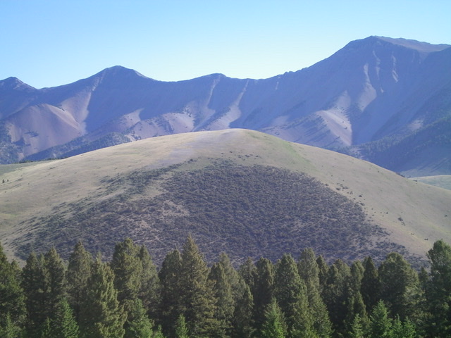
Peak 8435 as viewed from the southwest with the Pahsimeroi Crest in the distance. Livingston Douglas Photo
Access
Same as for Peak 8473. This 2-peak journey begins at Willow Creek Summit on US-93 south of Challis.
West Face, Class 2
The Climb
From the saddle at the head of the dry gully that separates Peak 8435 from Peak 8473, follow a jeep road east as it climbs up the west face of Peak 8435 to reach a set of powerlines. The road goes right/south here to follow the powerlines. Leave the road here and follow the remnants of an old 2-track eastward up the steep slope of short scrub. As you approach the summit, the 2-track ends rather unceremoniously. Scramble right/south to reach the bare summit. There was no cairn on top so I built a small one.
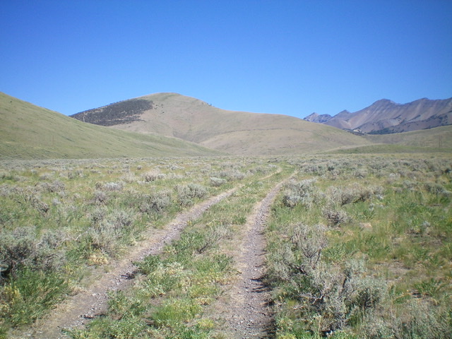
Peak 8435 (left of center) and its grassy, open southeast ridge (skyline in center) as viewed from Arentson Gulch to its south. Livingston Douglas Photo
Southeast Ridge, Class 2
The Descent
From the summit, descend southeast on short, easy grass with a broken scree base to a bend right/south in the broad, gentle ridge. Follow the rounded ridge south through a mix of grass and scrub to cross a cattle fence near some powerlines to reach a 2-track road that follows the dry drainage at the base of the mountains. Follow this road south to a lateral cattle fence and a gate. The road goes through the gate and onto private land.
Leave the road here and follow the fence row right/west briefly then left/south. Follow the right/west side of the fence row past an old corral (with a few old shacks). Continue south on the right/west side of the fence row to remain on public land. Lower down, the fence row bends right/west and quickly crosses the south end of a shoulder to reach US-93. This final section of fencing has a good jeep road on its right/north side that leads down to US-93. Once on US-93, follow it right/northwest up to Willow Creek Summit and your parked vehicle.
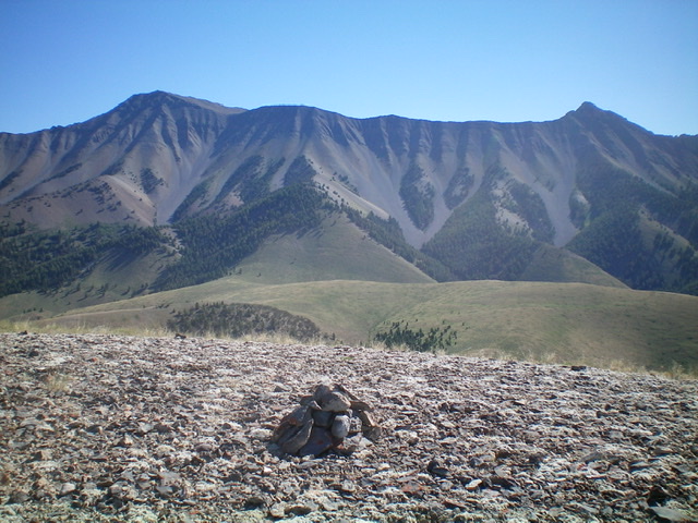
The newly-built summit cairn atop Peak 8435 with the Pahsimeroi Crest in the background. Livingston Douglas Photo
Additional Resources
Regions: EASTERN IDAHO->Lost River Range->Pahsimeroi Range
Mountain Range: Lost River Range
Longitude: -113.94951 Latitude: 44.25049