Elevation: 8,580 ft
Prominence: 1,440
Climbing and access information for this peak is on Page 335 of the book. The book lists the elevation of Pup Peak at 8,568 feet. LOJ puts the elevation at 8,580 feet. Use the link below to read Rick Baugher’s trip report which discusses the proposed name. Published November 2020
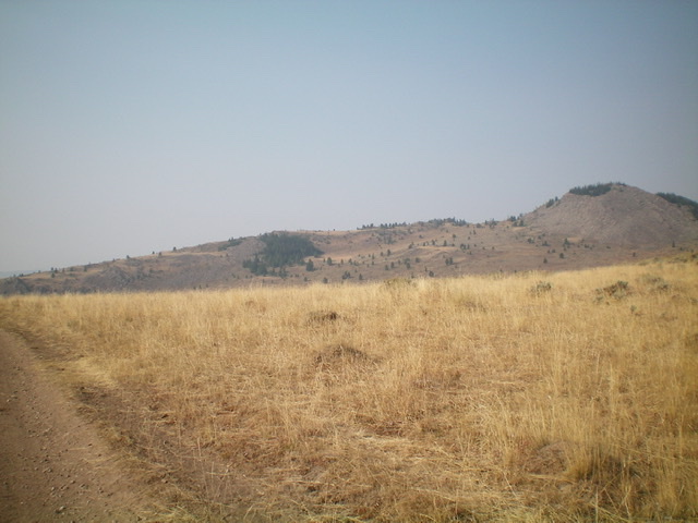
Pup Peak is located on the Continental Divide in the Henrys Lake Mountains. It sits above the headwaters of North Fork Duck Creek. It is a small, forested, rocky outcrop that has a challenging Class 3 finish and a steep, rocky east face. Pup Peak can be reached via Forest Service roads from the north or from the south. For such an insignificant hump, Pup Peak has a stunning amount of prominence. USGS Hidden Lake Bench
Pup Peak as viewed from the east. Livingston Douglas Photo
Access
Red Rock Pass is located along Red Rock Road/FSR-053 exactly 11.3 miles west of US-20. From Island Park, drive north on US-20 past the Yale-Kilgore Road and Sawtell Peak Road to reach the south side of Henrys Lake. Turn left/west onto a paved road that skirts the south side of Henrys Lake. This road is located 3.9 miles north of Sawtell Peak Road and 9.0 miles north of the Yale-Kilgore Road. Reset your odometer when you turn left/west off US-20. At 5.7 miles, the pavement ends. At 7.1 miles, reach a [signed] road junction. Turn left here onto Red Rock Road/FSR-053. At 11.3 miles, reach [signed] Red Rock Pass. Park in large pullout on the pass (7,135 feet).
Southeast Shoulder, Class 3
The Climb
Only the summit rocks are Class 3. From Red Rock Pass, hike north up FSR-056 (a somewhat rough jeep road) for 2.5 miles to a minor saddle/shoulder crossing at 7,800 feet. Leave the road here to climb northwest through grass and sagebrush to reach a cattle fence heading north. Follow the fence line north to its end at the southeast shoulder of Pup Peak. Scramble west up the edge of the shoulder in rocky outcrops with veg mixed in. This is not fun. At the top of the shoulder, the ridge bends right-ish/north. Follow the ridge north and descend slightly to a minor saddle, staying in field grass when possible.
From the saddle, the forested, rocky summit hump lies directly in front of you. It is a bit intimidating and you know that this won’t be easy. Scramble north up the steep ridge crest in a mix of rocky outcrops, pine bushes, and veg. Thankfully, it is only about 200 vertical feet of work to reach the summit. The summit of Pup Peak is semi-open and is a mix of boulders, brush, and nearby pine trees.
East Face, Class 3
The Descent
From the summit, descend the steep boulders of the upper east face for about 350 vertical feet. This is a full-on Class 3 endeavor and the boulders are unstable. Some downclimbing is required. You will be relieved to reach the [blessed] field grass below. Once on the field grass, descend across an open slope of field grass, brush, and sagebrush to reach a cattle fence which leads east down to a road junction. Cross to the right/south side of the fence to avoid a thick patch of forest. The cattle fence leads you directly down to a cattle guard and a road junction just left/north of the cattle guard. This concludes the first leg of this two-peak journey. Peak 8377 is up next.
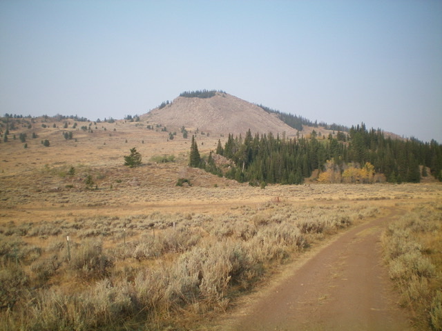
Pup Peak (summit is to the far right) and its LONG east shoulder (the skyline). Livingston Douglas Photo
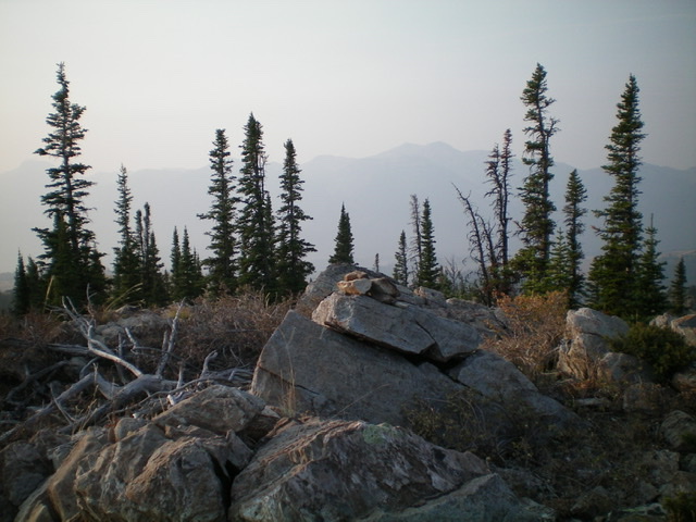
The summit of Pup Peak. Livingston Douglas Photo
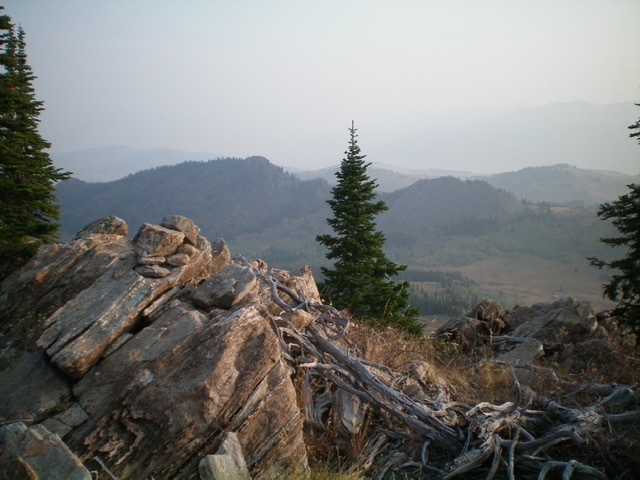
View from the summit of Pup Peak on a smoke-hazy morning. Livingston Douglas Photo
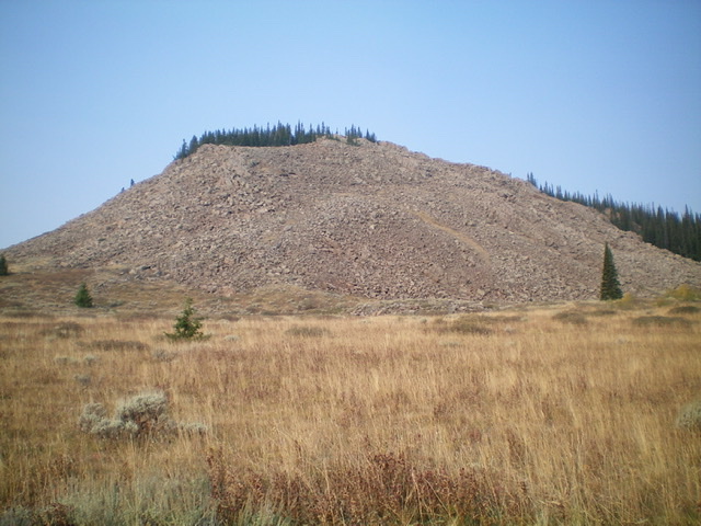
The east face of Pup Peak is a massive pile of loose boulders on a steep slope. Caution is advised here. Livingston Douglas Photo
Additional Resources
Regions: EASTERN IDAHO->Henrys Lake Range
Mountain Range: Henrys Lake Range
Longitude: -111.51649 Latitude: 44.64409