Elevation: 8,681 ft
Prominence: 341
This peak is not in the book. Do not attempt crossing the Big Lost River in high water conditions! Published November 2021
Peak 8681 is the high point on a long ridgeline located on the north side of the East Fork of the Big Lost River and the west side of Boone Creek. Rick Baugher provides some superb photos of Peak 8681 on the LOJ website as well as a brief commentary on his climbing route (see link below). USGS Porphry Peak
Access
From the signed junction of FSR-135/Copper Basin Road andFSR-136/Wildhorse Creek Road, drive east on FSR-135 for 7.7 miles to a flat campsite on an open bluff on the left/north side of the road. There is a trail that heads from this campsite down to the south side of the East Fork of the Big Lost River at a gap in the thick willows that typically surround the river.
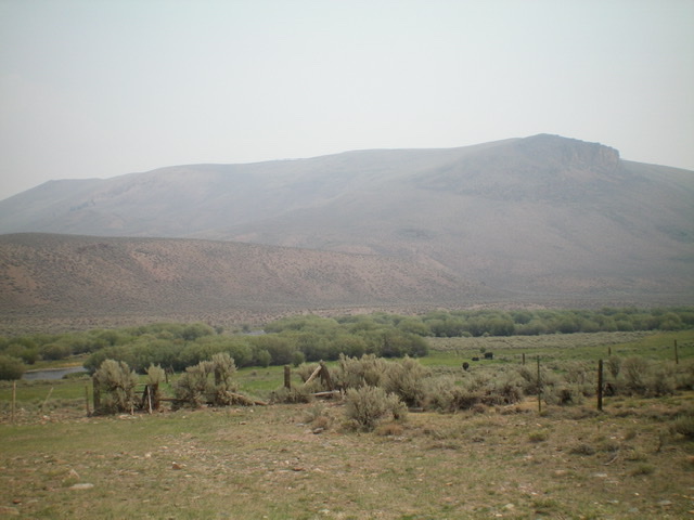
Peak 8681 as viewed from Copper Basin Road/FSR-135 to its southwest. Livingston Douglas Photo
South Ridge, Class 2
Hike down a steep footpath to the south side of the river. Ford the East Fork of the Big Lost River, which should only be done in late Summer or Fall to keep the water levels reasonable. Once on the north side of the river, follow the north side of a fence row east to just past a dry gully at the base of the southwest side of the south ridge. Scramble northeast then east through sagebrush to reach the crest of the south ridge at Point 8428. Follow the open ridge north to the summit with a few minor ups and downs along the way.
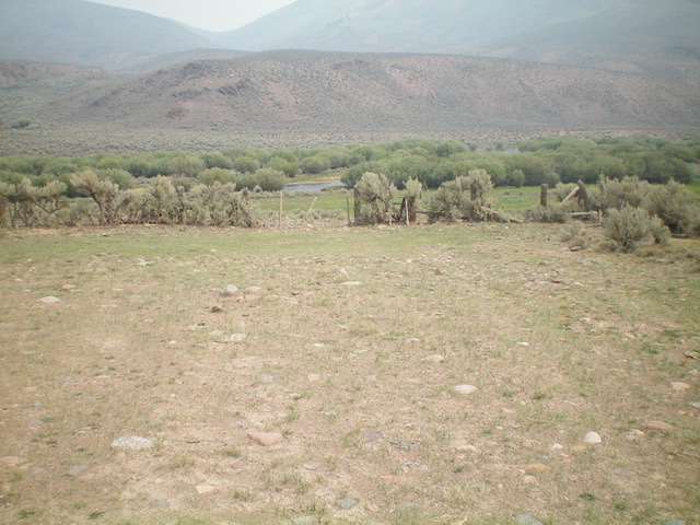
The camping spot and old track down to the East Fork of the Big Lost River. Get your sandals ready. Livingston Douglas Photo
Additional Resources
Regions: EASTERN IDAHO->White Knob Mountains
Mountain Range: White Knob Mountains
Longitude: -113.93329 Latitude: 43.91009