Elevation: 8,716 ft
Prominence: 411
This peak is not in the book. Published November 2023
Peak 8716 is a minor, forested hump located just west of the Continental Divide in the Beaverhead Mountains. It is easily climbed via its west ridge from the Lewis and Clark Backcountry Byway. USGS Kitty Creek
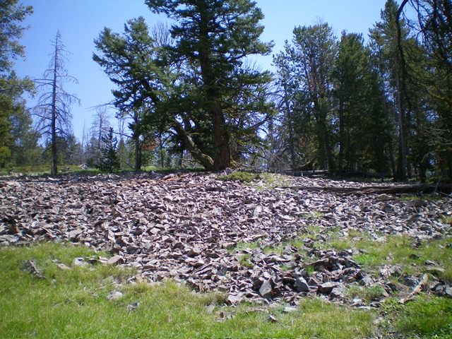
Looking up the broad, semi-open west ridge of Peak 8716. This was my ascent route. Livingston Douglas Photo
Access
From ID-28 at Tendoy, drive east on [signed] Tendoy Lane for 0.1 miles to a “T” junction. Go left/north onto the [signed] Lewis and Clark Backcountry Byway and drive 2.7 miles to a signed junction. Go right/east here to continue on the Byway. This junction is also 1.9 miles south of 17 Mile Lane which goes 0.4 miles west to reach ID-28 north of Tendoy. Reset your odometer at this junction. Drive 15.7 miles up the curving switchbacks of the Byway to reach a saddle at 8,580 feet. Park here (45⁰01’08”N, 113⁰27’38”W).
West Ridge, Class 2
The Climb
From the saddle, bushwhack east up through a thick pine forest that thins out and becomes mixed with talus/scree slopes. You will quickly reach the semi-open summit. I enlarged the summit cairn substantially.
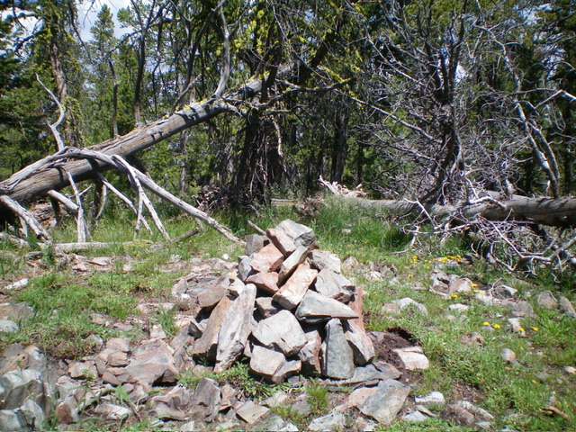
The summit cairn atop Peak 8716. Livingston Douglas Photo
Additional Resources
Regions: Beaverhead Range->EASTERN IDAHO
Mountain Range: Beaverhead Range
Longitude: -113.4562 Latitude: 45.0187