Elevation: 8,764 ft
Prominence: 344
This peak is not in the book. Published November 2023
Peak 8764 is a forested hill that is located southeast of the Bighorn Crags and the Crags Campground. It is easily climbed from FSR-113 by either its southeast ridge or, preferably, by its south ridge. The ascent to the top via the south ridge takes only 3-4 minutes in an easy forest bushwhack with only 35 feet of uphill. USGS Hoodoo Meadows
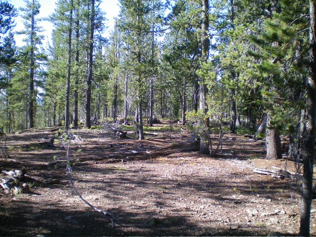
The forested summit of Peak 8764. Livingston Douglas Photo
Access
From Panther Creek Road, drive west up FSR-112/Porphry Creek Road for 6.8 miles to a signed 4-way road junction. From the junction, head right/north up FSR-113 for a rugged, rutted 8.3 miles to a signed junction with FSR-114/Yellowjacket Lake Road. The road bends west then south along the way. Turn right/northwest to stay on FSR-113/Bighorn Crags Road and drive 0.4 miles to a pullout at a sharp left/southwest bend in the road. Park here(8,495 feet; 45⁰05’38”N, 114⁰30’17”W) for the Southeast Ridge Route.
If possible, continue another 0.4 miles to a crest in the road where the road crosses the south ridge of Peak 8764. Park in a nice pullout area here (8,730 feet; 45⁰05’31”N, 114⁰30’44”W) for the South Ridge Route. The final 0.4 miles to this pullout are steep, rocky, somewhat rutted, and rough.
Southeast Ridge, Class 2
The Climb
From the parking pullout, walk briefly up FSR-113 then head right/north onto the obvious, forested southeast ridge. Follow it up to the flat, forested summit cap. The ridge terrain is a mix of live pines, some deadfall, and grass. It goes pretty quickly. I located a few potential high points in the semi-open forest but could not find the USGS benchmark nor a definitive high point. I did find a collection of large boulders with a small cairn. I believe that this spot is probably where the USGS benchmark used to reside before it disappeared. I added several rocks to the summit cairn to make it easier to spot for future climbers.
South Ridge, Class 2
The Climb
From the parking pullout, bushwhack north then north-northeast in an easy pine forest without much deadfall to reach the cairned high point. I searched around for a USGS benchmark in the area shown on the USGS topo map but was unable to find one.
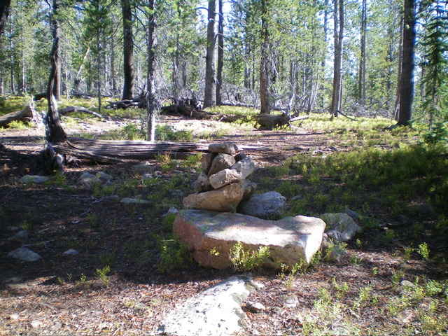
The enlarged summit cairn atop Peak 8764. Livingston Douglas Photo
Additional Resources
Regions: Eastern Salmon River Mountains->Salmon River Mountains->WESTERN IDAHO->Yellowjacket Mountains
Mountain Range: Eastern Salmon River Mountains
Longitude: -114.5089 Latitude: 45.0951