Elevation: 8,313 ft
Prominence: 413

This peak is not in the book. Published November 2023
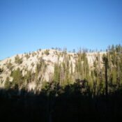
Peak 8313 is a minor hump that is located in the Yellowjacket Mountains. It sits northwest of Yellowjacket Lake and due north of Sugar Loaf (9,045 feet). Peak 8313 is most easily climbed via its east ridge from FSR-114/Yellowjacket Lake Road. USGS Hoodoo Meadows

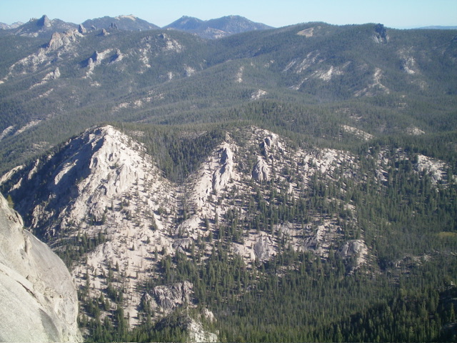
Peak 8313 (summit is left of center) and its east ridge (in center). The up-and-down east ridge was my ascent route. This view is from atop Sugar Loaf (9,045 feet). Livingston Douglas Photo
Access
From Panther Creek Road, drive west up FSR-112/Porphry Creek Road for 6.8 miles to a signed 4-way road junction. From the road junction, head right/north up FSR-113 for a rugged, rutted 8.3 miles to a signed junction with FSR-114/Yellowjacket Lake Road. The road bends west then south along the way. Go straight/south onto FSR-114 and drive 4.0 miles west then briefly south to a pullout on the east side of the road. Park here (7,765 feet; 45⁰04’44”N, 114⁰32’36”W). This roadside pullout is about 0.2 miles south of the toe of the east ridge at a sharp bend in the road at a lower point and a stream/gully crossing.
East Ridge, Class 2
The Climb
From the roadside pullout, hike briefly north on FSR-114 to a crest in the road at a ridge crossing. Leave the road and bushwhack northwest up through a thick pine forest with lots of deadfall. Move left/south up onto the crest of this minor ridge and follow it west-northwest. You can soon see the east right to your right/north. Descend right/north for 45 vertical feet to cross a dry gully and head up onto the east ridge.
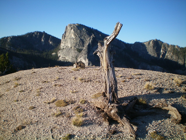
The east ridge is densely forested and has an annoying amount of deadfall in sections. The ridge meanders and crosses three ridge points. At the final ridge saddle, head west up through easy pine forest to reach the gravelly, open north ridge of Peak 8313. Turn left/south and hike a short distance to reach the bare gravel summit in open terrain. There were no signs of previous ascent so I built a modest summit cairn with rocks I found below the gravelly summit hump. The summit provides a magnificent, unobstructed view of nearby Sugar Loaf (9,045 feet).

bare, gravelly summit of Peak 8313 with Sugar Loaf (9,045 feet) in the distance. Livingston Douglas Photo

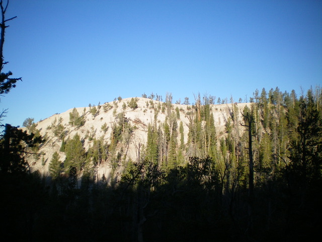
Peak 8313 and its east face. The north ridge is the skyline and leads leftward to the high point. Livingston Douglas Photo
Additional Resources
Regions: Eastern Salmon River Mountains->Salmon River Mountains->WESTERN IDAHO->Yellowjacket Mountains
Mountain Range: Eastern Salmon River Mountains
Longitude: -114.5608 Latitude: 45.0839