Elevation: 8,817 ft
Prominence: 597
This peak is not in the book. Published November 2023
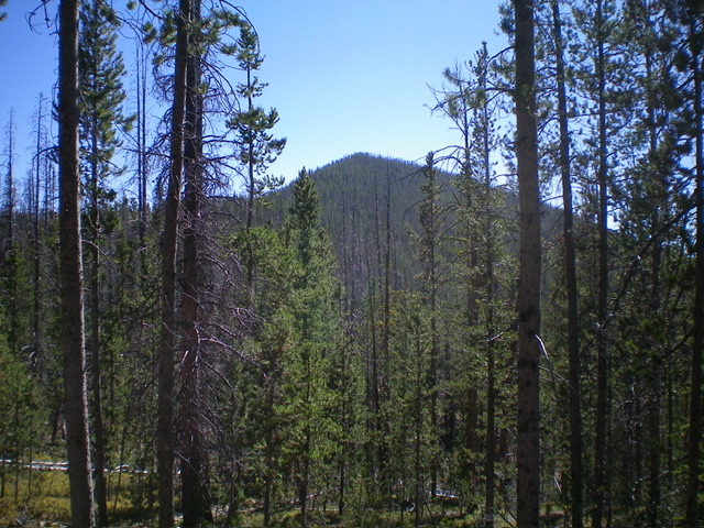
Peak 8817 is a forested hill that is located east of Yellowjacket Lake and southeast of the Bighorn Crags. It is most easily climbed via its north ridge from FSR-114/Yellowjacket Lake Road. This bushwhack is not difficult. USGS Hoodoo Meadows
Peak 8817 as viewed from the north. Livingston Douglas Photo
Access
From Panther Creek Road, drive west up FSR-112/Porphry Creek Road for 6.8 miles to a signed 4-way road junction. From the road junction, head right/north up FSR-113 for a rugged, rutted 8.3 miles to a signed junction with FSR-114/Yellowjacket Lake Road. The road bends west then south along the way. Go straight/south onto FSR-114 and drive to a minor pullout just after the road bends right/west and begins to head downhill. Park at this pullout (8,220 feet; 45⁰05’07”N, 114⁰30’01”W). If there was a pullout, I would have parked at the bend in the road as it provides more of a direct line to the north ridge of Peak 8817.
North Ridge, Class 2
The Climb
From the roadside pullout, bushwhack southeast through undulating, easy pine forest to reach a small saddle at the base of the north ridge. Scramble southwest then south up through a reasonable pine forest to reach the summit. The ridge terrain is a mix of live pines, some deadfall, field grass, and some ridge rock that can be skirted on its right/west side. The summit of Peak 8817 is a mix of large boulders and pine trees. It has a USGS benchmark (surprising) and a triangulation post/wiring. There is no summit cairn. The summit offers only partial views due to the surrounding pine forest.
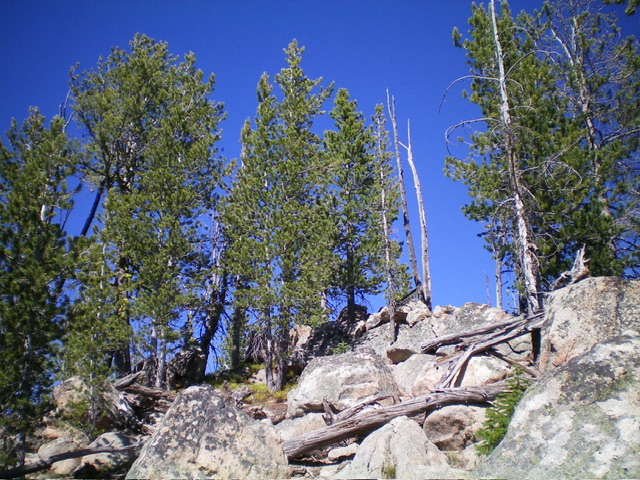
The rocky summit of Peak 8817. Livingston Douglas Photo
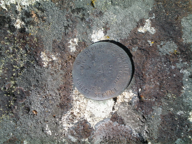
The USGS benchmark atop Peak 8817. Livingston Douglas Photo
Additional Resources
Regions: Eastern Salmon River Mountains->Salmon River Mountains->WESTERN IDAHO->Yellowjacket Mountains
Mountain Range: Eastern Salmon River Mountains
Longitude: -114.5015 Latitude: 45.0757