Elevation: 8,825 ft
Prominence: 525
This peak is not in the book. Livingston Douglas added three new photos. Updated November 2022
This peak is located northwest of Ketchum, Idaho in an area populated by numerous sub-10,000 foot peaks. Although this area is probably most often used by ATVers and hunters, it has a number of worthwhile summits. Given its position, Lost Cliff Peak is an exceptional viewpoint for observing the surrounding mountains. The suggested name relates to our rescuing of a 15-year old kid named Cliff who we found wandering on the peak. He had a dead cell phone, no water, and only a vague idea of where he was going. USGS Griffin Butte
Peak 8825
Access
Primary access is from ID-75 and Baker Creek Road/ FSR-162 [(A)(4) on Page 213]. Turn onto Baker Creek Road and follow it south for just over 3.0 miles. Just pass the East Fork Campground, turn onto FSR-168/East Fork Baker Creek Road. Follow FSR-168 to the west side of Peak 8825 which, depending upon where you park, is about 9.3 miles from ID-75.
West Slopes, Class 2
The peak’s west slopes are a mix of forest and sagebrush terrain. Almost any line from the road will take you to the top, where you will find the remnants of a survey and outstanding views. There are two nearly equal distant high points. The one with the survey detritus appears to be a few feet higher.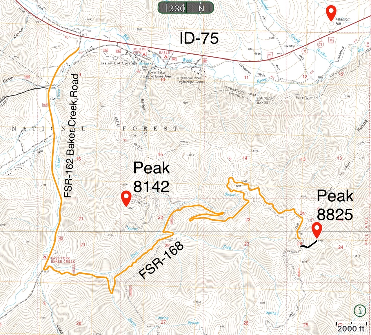
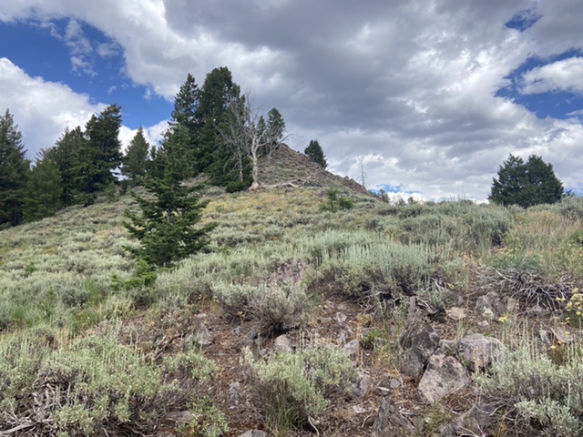
Looking at the [lower] southeast summit from the high point of Peak 8825. Livingston Douglas Photo
Peak 8825 (forested in dead center) as viewed from the south. Tom’s ascent route comes up the left skyline. Livingston Douglas Photo
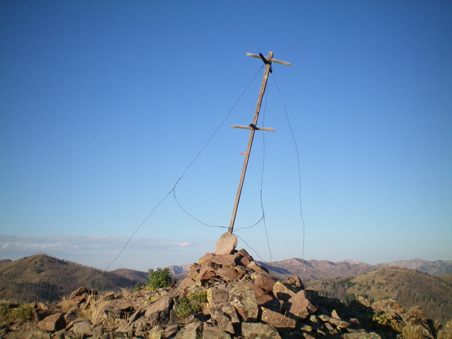
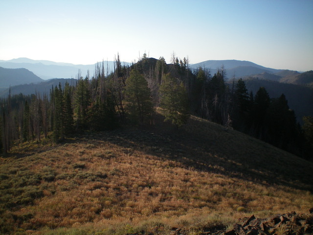
The summit cairn and triangulation post atop Peak 8825. Livingston Douglas Photo
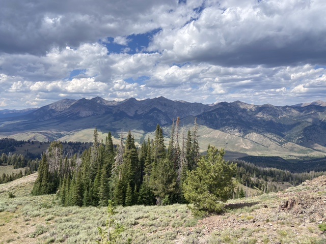
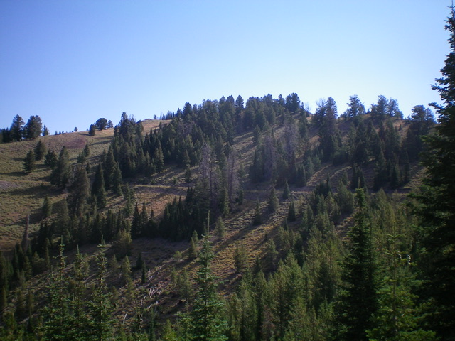
The Boulder Mountains as viewed from Lost Cliff Peak
Additional Resources
Regions: Smoky Mountains->WESTERN IDAHO
Mountain Range: Smoky Mountains
Year Climbed: 2022
Longitude: -114.49949 Latitude: 43.74859