Elevation: 8,860 ft
Prominence: 440
This peak is not in the book. Published November 2021
Peak 8860 is a scrub hill that is located northwest of Pass Creek Summit. It sits at the head of Chicken Creek and north of Big Creek. Peak 8860 is most easily climbed via its east ridge and an old 2-track road that leads up to it. This climb covers 8.5 miles with 2,700 feet of elevation gain round trip. USGS Warren Mountain
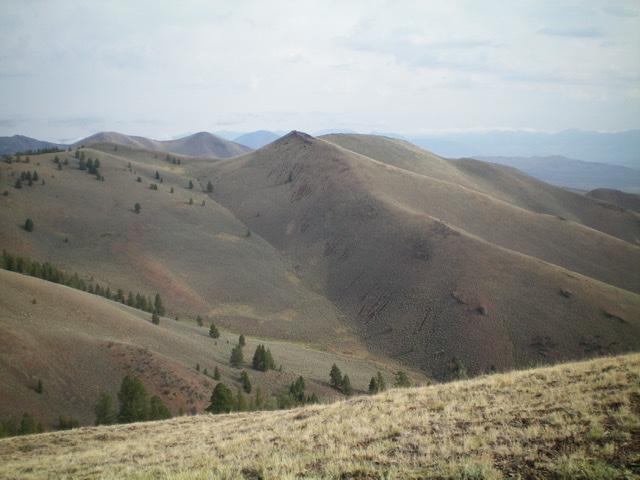
Peak 8860 (pointed hump in dead center) as viewed from the south. Livingston Douglas Photo
Access
Pass Creek Road/CR-122 is located along US-93 south of Mackay and is signed as 3900W. This junction is exactly 7.4 miles south of Main Street in Mackay and 18.3 miles north of the junction of US-93 and US-20 in Arco. Turn north onto [signed] Pass Creek Road and reset your odometer. At 11.5 miles, reach Pass Creek Summit and cross a cattle guard. At 16.1 miles, reach an unsigned junction with a large corral to the left of the road. Turn left/west onto a 2-track road and drive 1.3 miles to a large parking area at a fence corner (EVANS 7194 on the USGS topo map). Park here (7,194 feet). The USGS topo map fails to show the final section of the 2-track road.
East Ridge, Class 2
The Climb
From the fence corner, hike north up a 2-track road (not shown on the USGS topo map) that follows the right/east side of a fence row. The road drops 180 vertical feet to cross [tiny] Chicken Creek on the way. After about a mile, the 2-track road turns left/west at a fence corner. Continue to follow the road (now heading west) along the right/north side of a fence row that heads up the east ridge. Once atop Point 7356, the 2-track road ends at a fence corner. Jump the fence gate and follow a cattle trail west along the right/north side of a fence row.
After an initial drop, the fence climbs steeply and the foot path is badly eroded/rutted. Continue west along the fence row to a flat area where the fence row crosses the ridge crest and descends right/north and off the ridge. Leave the fence row and cross to its left/south side onto an old 2-track road that heads up the crest of the east ridge. The ridge heads southwest here and then bends right/northwest at Point 8111. Continue hiking northwest then west on the old 2-track to where it ends just prior to reaching Point 8842.
The fence row has once again come back onto the ridge crest. Once the 2-track ends, follow the right/north side of the fence row southwest to the top of Point 8842. The true summit is west-southwest of this point, but it appears to be lower. Alas, it is NOT lower. That is an optical illusion. Descend west from Point 8842 for 170 vertical feet to a saddle on a decent, stable mix of scrub and scree. From the saddle, scramble southwest on the easy scrub/scree of the ridge to reach the true summit of Peak 8860. I rebuilt the torn-down summit cairn.
Surprisingly, the true summit measures at 25-30 feet higher than Point 8842, based on altimeter readings. It almost deserves a higher contour line. The east ridge (and the 2-track road leading to it) require a lot of ups and downs—a total of 1,020 additional feet of elevation gain round trip. The east ridge weaves around quite a bit too. This route is entirely on BLM land but it borders on private land for much of the early part of the hike, so don’t wander off or cross the cattle fence. That fence marks the boundary between public and private land. Consult a land management map to stay legal.
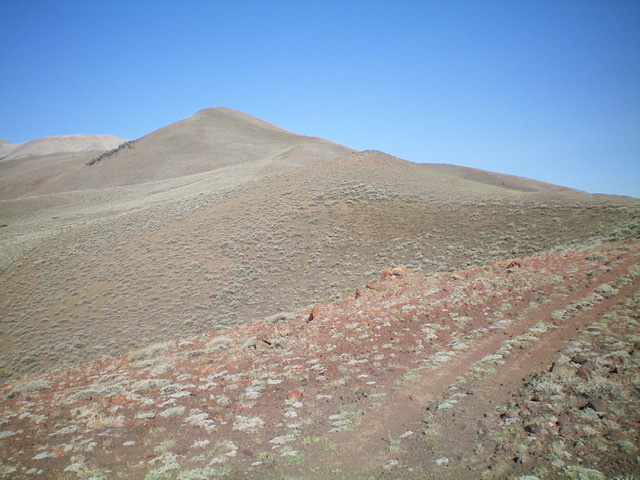
Looking up the east ridge (right skyline). Point 8842 is the pyramidal hump (left of center). The summit is not yet in view. Livingston Douglas Photo
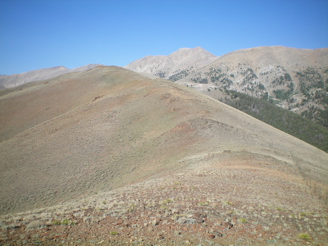
The final rise up the east ridge to the summit of Peak 8860 (left of center). Livingston Douglas Photo
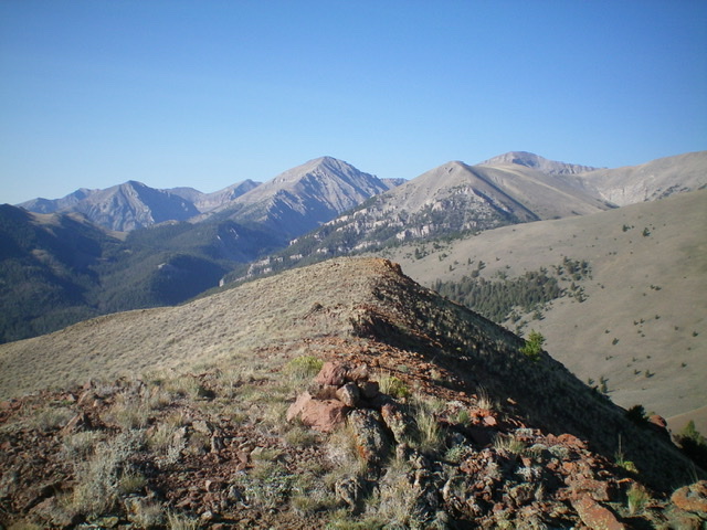
The summit cairn atop Peak 8860, looking south. Livingston Douglas Photo
Additional Resources
Regions: EASTERN IDAHO->Lost River Range
Mountain Range: Lost River Range
Longitude: -113.496091 Latitude: 44.08859