Elevation: 8,940 ft
Prominence: 374
This peak is not in the book. Published November 2021
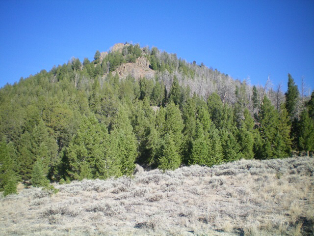
Peak 8940 is located due west of Mosquito Flat Reservoir. It has a steep east face and is seldom, if ever, climbed. Peak 8940 has a lengthy, forested summit plateau. USGS Twin Peaks
Peak 8940 (flat ridgeline in distance) as viewed from the east. Livingston Douglas Photo
Access
From US-93 at the north end of Challis, turn left/west onto [signed] Clinic Avenue. Follow Clinic Avenue as it goes west briefly, then jogs north briefly, then heads west to a “T” junction with [unsigned] Challis Creek Road. This junction is 0.4 miles from US-93. Turn right/north onto Challis Creek Road and drive 9.7 miles to a signed junction. Go left here and reset your odometer. You are now on [unsigned] FSR-080.
At 6.2 miles, reach a signed junction. Go left for FSR-080/Pine Summit Road. Go straight for FSR-091/Challis Lakes Road. Go straight here. At 6.3 miles, reach Mosquito Flat Campground. At 8.6 miles, the road fords Challis Creek. If you have a 4WD with good tires and decent ground clearance, you might make it through this fording to reach the north side of Challis Creek. Park near the creek (7,122 feet). If you value your vehicle, park in a beautiful meadow about 0.2 miles before reaching the creek crossing.
South Rib/Southeast Ridge, Class 2+
The Climb
From the meadow, hike 0.2 miles up FSR-091 and cross Challis Creek on a tree log just upstream from the road fording of the creek. Once across the creek, bushwhack right-ish/northeast up onto an obvious rib/shoulder of sagebrush. Choose a line that minimizes the bushwhack through the thick aspens near the creek. Once on the rib, scramble north up the somewhat-tedious mix of sagebrush, boulders, and scattered ridge pines.
Higher up, angle right-ish/north-northeast slightly to reach the southeast ridge in a flat ridge area at the head of a wide sagebrush gully/face. The sagebrush here is somewhat thick and tedious, so use the forest to its left/west for much easier going. Once on the ridge crest, follow it northwest to the forested summit plateau. The ridge terrain is initially a combination of open pine forest, sagebrush, and talus. It quickly becomes rockier just under the first ridge buttress (Ridge Buttress #1). Skirt the right/northeast side of this buttress in steep talus/scree with scattered pines (Class 2+).
Remain on the right/northeast side of the ridge crest until past a second ridge buttress (Ridge Buttress #2). Regain the ridge crest above this high buttress to make a final push up flatter, forested terrain (a mix of snags and live pines) with a scrub and talus base to reach the south summit. Continue north on the slightly-tilted, forested summit plateau to reach a slightly higher point on its open, north end (scattered burnt snags). In my opinion, this is the high point of Peak 8940. There were no signs of previous ascent.
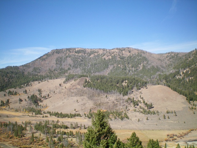
Peak 8940 as viewed from the meadow along FSR-091 to its south. The ascent route follows the open sagebrush on the left side of the photo then climbs right to intersect the southeast ridge. The southeast ridge heads diagonally left in the photo to reach the rocky outcrop (in dead center) high up on the ridge, just below the summit plateau. Livingston Douglas Photo
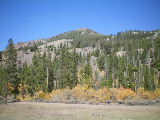
Looking up the southeast ridge from the flat, open ridge entry point. Stay to the right of the rocky buttresses higher up. Livingston Douglas Photo
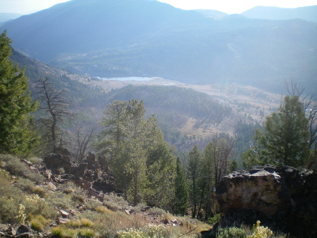
View of Mosquito Flat Reservoir from high on the southeast ridge. Livingston Douglas Photo
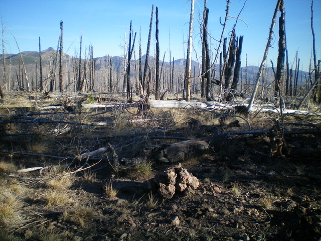
The charred north end of the summit plateau. This is the high point of Peak 8940. Livingston Douglas Photo
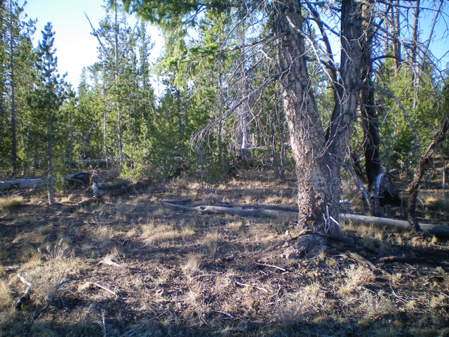
Looking south into the forest on the summit plateau from the high point. Yes, it changes that quickly from open, charred terrain to live pine forest. Livingston Douglas Photo
Additional Resources
Regions: Eastern Salmon River Mountains->Salmon River Mountains->Southeast Corner Peaks->WESTERN IDAHO
Mountain Range: Eastern Salmon River Mountains
Longitude: -114.46869 Latitude: 44.51701