Elevation: 8,955 ft
Prominence: 335
This peak is not in the book. Published November 2020
Peak 8955 is located on the east side of Burma Road. It separates Corral Creek from Coyote Creek. The summit is a magnificent rocky buttress visible for miles. The easiest access is via the new FST-4070 (an ATV trail on the north side of Corral Creek) and the south side of the peak. The shortest access is via Burma Road to the west. USGS Lehman Butte
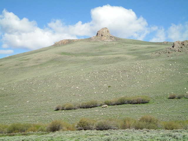
Peak 8955 as viewed from the upper Corral Creek drainage to the southeast. The summit block is impressive (dead center). Livingston Douglas Photo
Access
Burma Road/FSR-142 is located along Copper Basin Road/FSR-135 exactly 3.9 miles southeast of the junction of FSR-135 and FSR-138/Copper Basin Loop Road. Drive 4.5 miles on Burma Road (crossing Corral Creek at 3.8 miles) to reach a large pullout area on the left/west side of the road just past a cattle guard/fence). Park here (7,965 feet). This is as close a parking spot as you will get for the west shoulder route on Peak 8955.
West Shoulder, Class 3
The Climb
This climb is mostly Class 2 but has a Class 3 finish on the rocky summit block. From the parking area, follow a cattle fence on the right/east side of Burma Road. There is an easy grassy path on the right/east side of the fence. This fence gets you to the easy grass/scrub of the [obvious] west shoulder. Scramble northeast up onto the crest of the shoulder. The ridge crest has a fence row heading east all the way up to the summit block.
Follow the right/south side of the fence row on a game/cattle trail to make the more tedious sagebrush higher up a bit easier to navigate. The fence row ends at the imposing summit block. Cross to the left/north side of the fence to get to the left/north side of the summit block. Follow the base of the summit block briefly and find a notch/chute leading to the top. Scramble right/east (Class 3) to reach the summit area on top of the massive summit block. The summit has a small cairn. The exposure on the east side of the block is impressive. You might just get a nosebleed.
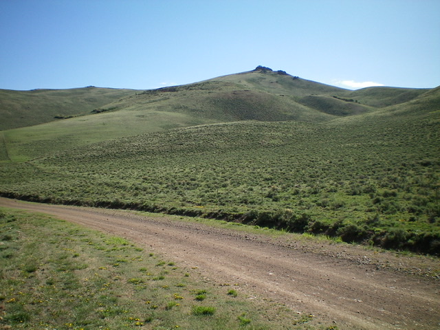
Looking up the ascent route from Burma Road. The summit block of Peak 8955 is right of center. Livingston Douglas Photo
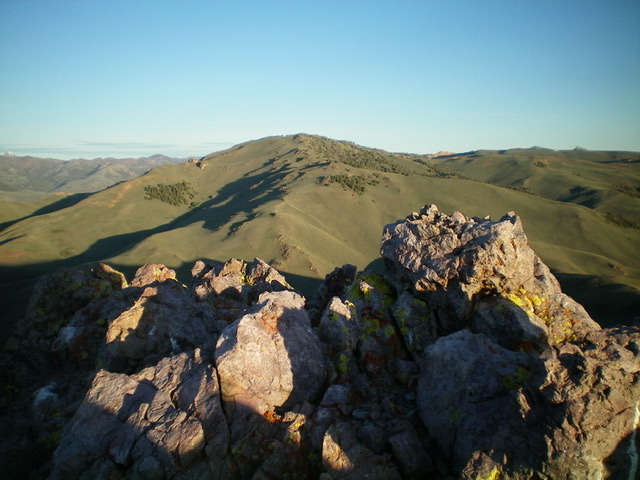
The rocky summit area of Peak 8955, looking northwest. Livingston Douglas Photo
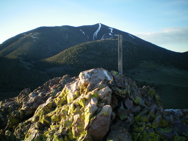
The summit cairn atop Peak 8955 with North Cabin Mountain in the distance in the early-morning light. Livingston Douglas Photo
Additional Resources
Regions: EASTERN IDAHO->White Knob Mountains
Mountain Range: White Knob Mountains
Longitude: -113.81011 Latitude: 43.88069