Elevation: 9,046 ft
Prominence: 379
This peak is not in the book. Published November 2023
Peak 9046 is a gentle hump that sits southwest of Golden Trout Lake in the Bighorn Crags. It is most easily climbed via its north ridge from the popular FST-021. USGS Hoodoo Meadows
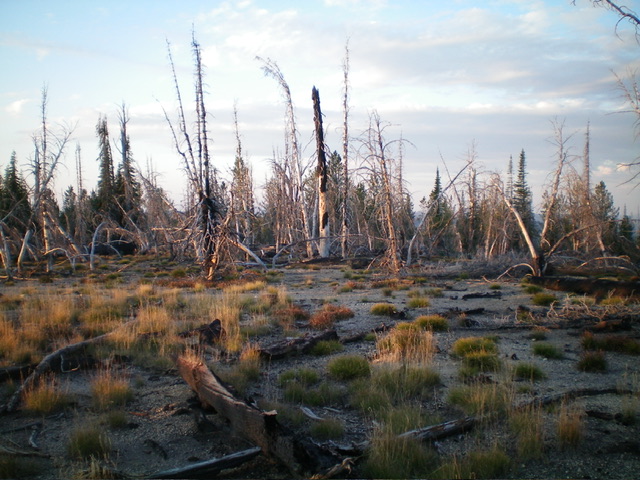
The charred summit of Peak 9046. Livingston Douglas Photo
Access
From the 4-way road junction, drive north then west then southup FSR-113 for a rugged, rutted 8.3 miles to a signed junction with FSR-114/Yellowjacket Lake Road. Turn right/northwest to stay on FSR-113/Bighorn Crags Road and drive 2.2 miles to the “Hiker’s Trailhead” at Bighorn Crags. The trailhead is just past the turnoff for Bighorn Crags Campground. It is at 8,475 feet and 45⁰06’15”N, 114⁰31’27”W.
Map Errors
The stock trail (FST-236) is shown on the USGS topo map. However, the hiker’s trail (FST-021) is not shown on the map.
North Ridge, Class 2
The Climb
From the trailhead, hike up steep, rocky FST-021 to where it skirts the east side of Peak 9046 then bends left/west to cross its north ridge in open terrain. Leave the trail here and bushwhack south up an easy slope of scrub, scattered deadfall, and standing snags in a burn area. In about four minutes, you will reach the flat, burned summit area and find two summit cairns near each other. These two cairns are just below, and north of, the high point.
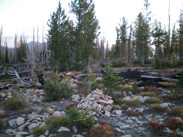
The summit cairn atop Peak 9046, not quite on the high point. Livingston Douglas Photo
Additional Resources
Mountain Range: Eastern Salmon River Mountains
Longitude: -114.5320 Latitude: 45.1085