Elevation: 9,054 ft
Prominence: 514
This peak is not in the book. Published November 2021
Peak 9054 is located southeast of Little Bayhorse Lake. It towers above Juliette Basin to the south. The north side of Peak 9054 is particularly rugged. It is most easily climbed from Bayhorse Lake Road/FSR-051 to its west. USGS Bayhorse
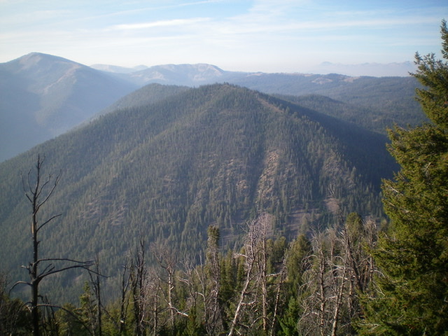
Peak 9054 (forested in mid-ground) and its double-humped summit as viewed from the northeast. Livingston Douglas Photo
Access
Bayhorse Lake Road/FSR-051 is located along ID-75 exactly 7.9 miles south of the junction of US-93 and ID-75 just south of Challis. Turn right/west onto Bayhorse Lake Road and reset your odometer. At 3.2 miles, reach the Bayhorse townsite. At 4.4 miles, reach the Challis National Forest boundary. At 6.7 miles, reach a signed road junction with Little Bayhorse Lake Road. At 7.2 miles, reach a pullout on the right/west side of the road. Park here (8,060 feet). GPS coordinates: 44⁰24’21”N, 114⁰22’53”W.
West Face, Class 2
The Climb
From the parking pullout, walk about 0.1 miles south up Bayhorse Lake Road to a clearing. Leave the road here and drop 15 vertical feet to cross [small] Bayhorse Creek. Once across the creek, scramble up the left/north side of a massive talus slope to reach the pine forest above. Bushwhack southeast straight up the forested face in an open pine forest with modest blowdown. At about 8,800 feet, bend right-ish/east and bushwhack up a final face section to reach the ridgeline summit of Peak 9054. The high point is in an open, rocky area of the ridge. The forested ridge area to the south is slightly lower, contrary to what the USGS topo map indicates. There was no summit cairn so I built a small one.
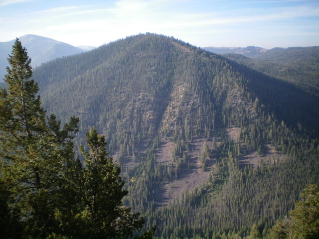
The rugged, steep northwest face of Peak 9054 with its multiple gullies and forested ribs. Livingston Douglas Photo
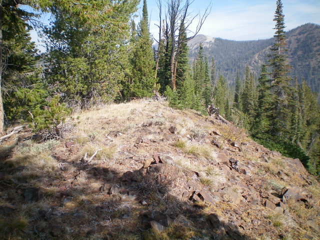
The ridgeline summit of Peak 9054, looking north. Livingston Douglas Photo
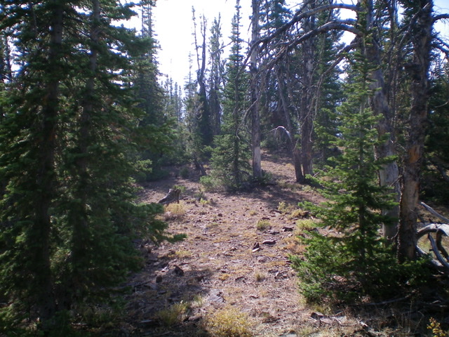
The summit area of Peak 9054 is forested at its south end. Livingston Douglas Photo
Additional Resources
Regions: Eastern Salmon River Mountains->Salmon River Mountains->Southeast Corner Peaks->WESTERN IDAHO
Mountain Range: Eastern Salmon River Mountains
Longitude: -124.37209 Latitude: 44.40169