Elevation: 9,523 ft
Prominence: 505
This peak is not in the book. Published December 2019
Peak 9523 is a rocky hump amid four ranked 9,000ers in the immediate vicinity (Peak 9115, Peak 9319, Peak 9523, Peak 9785). It sits at the head of the Carol Creek drainage. Peak 9523 is a fun scramble from FST-073 at a pass about a mile east of the peak. USGS Mogg Mountain
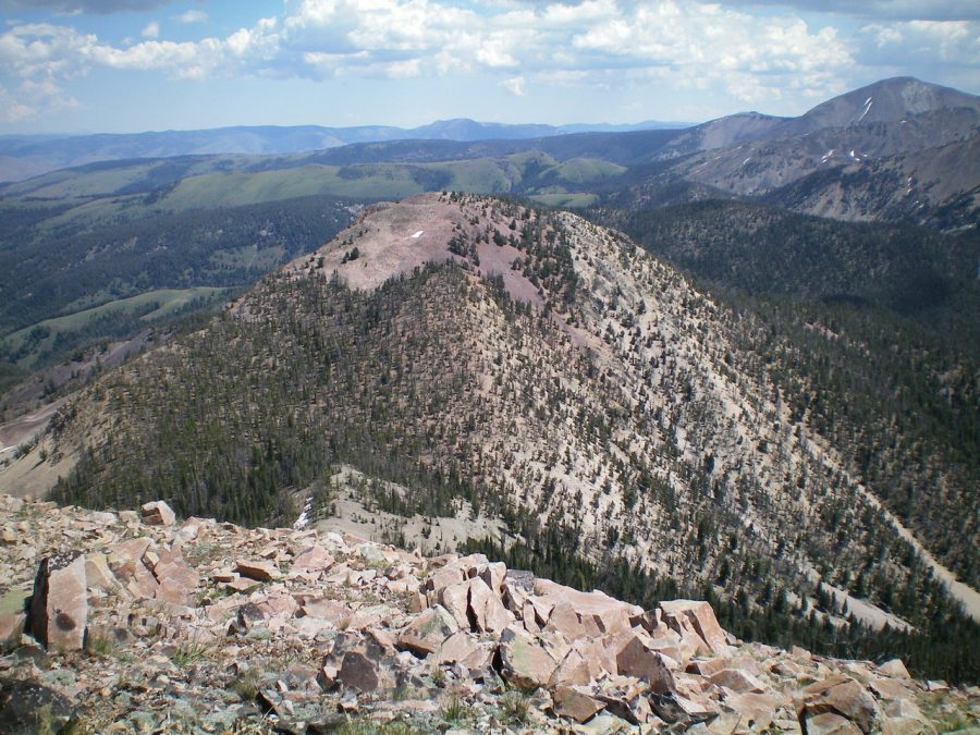
Peak 9523 (in mid-ground) as viewed from nearby Peak 9785. Livingston Douglas Photo
East Ridge, Class 2
Access
Morse Creek Road/FSR-094 is located exactly 10.2 miles south of US-93 on the [paved] Pahsimeroi Highway. From the signed turnoff on the east side of the highway, drive 4.3 miles to the Challis National Forest boundary. At 6.5 miles, reach the end of Morse Creek Road at a trailhead parking area (6,290 feet). This is the trailhead for the Morse Creek Trail/FST-4072.
The Climb
Hike up FST-4072 (an old jeep road) on the left/northwest side of raging Morse Creek for about 1-1/2 miles to a fording of Cold Creek. There are some wet logs and rocks to help you cross this on foot, but bring hiking poles in order to maintain your balance for this crossing. Soon after, the road ends at a crossing of Morse Creek. At this crossing, the creek is braided and can be crossed by jumping the first braid and crossing a cut log over the second braid.
Once on the southeast side of Morse Creek, the old road is now a weak 2-track road in tall field grass. The road quickly turns left/northeast and follows the right/southeast side of Morse Creek up through open field grass. In about ½ mile, reach a signed trail junction. The Left Fork is FST-073 and follows Morse Creek on its way to Carol Creek. The Right Fork is FST-072 and goes up a hillside then drops to Falls Creek (the trail, however, is signed for Patterson Creek). Go left here onto FST-073 and continue to follow the right/southeast side of Morse Creek.
About 0.2 miles past the trail junction, you must ford Morse Creek. The crossing is wide and shallow. It can be done in gaiters. After crossing to the northwest side of Morse Creek, the trail is now a foot path. The trail heads north up out of the Morse Creek drainage to climb a shoulder. Look closely in this area in order to not lose the trail. It is weak here but it soon gets much better and easier to follow. The key is to get up and out of the drainage immediately.
After just over an hour of hiking, you will reach a pass at the head of the Carol Creek drainage. Let’s call it Carol Creek Pass (8,500 feet). From the pass, bushwhack west through lots of downed timber and find an old use trail heading west up the right/north side of the ridge crest. By the time you reach the top of rocky Point 8968, the use trail is gone but the terrain is open and not too difficult. Scramble up a combination of rocky outcrops, rock bands/strata, and loose scree/gravel to reach the open summit of Peak 9523. The summit has a decent cairn and offers an excellent view of the southeast ridge of Peak 10263.
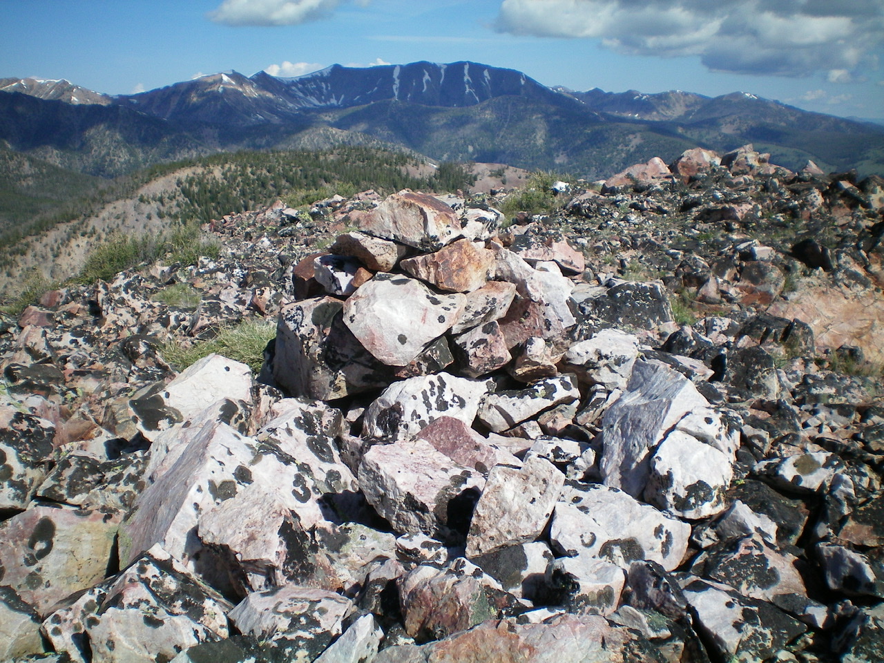
The summit cairn atop Peak 9523. Livingston Douglas Photo
Additional Resources
Regions: EASTERN IDAHO->Lemhi Range
Mountain Range: Lemhi Range
Longitude: -113.74509 Latitude: 44.67449