Elevation: 9,561 ft
Prominence: 781
This peak is not in the book. Published November 2021
Peak 9561 is located just above Mill Creek Summit and the Custer Motorway. The easiest ascent is from Mill Creek Summit. USGS Bayhorse Lake
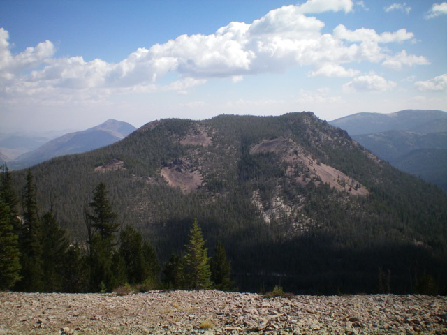
Peak 9561 as viewed from the west. Livingston Douglas Photo
Access
From the junction of US-93 and Main Street in Challis, drive west on Main Street (which becomes Garden Creek Road) for 4.9 miles to a signed junction with the Custer Motorway/FSR-070. Turn right onto the Custer Motorway and reset your odometer. At 1.7 miles, reach the Challis National Forest boundary. At 8.9 miles, reach the Mill Creek Campground. At 12.0 miles, reach [signed] Mill Creek Summit. Park here (8,800 feet).
West Face/Northwest Ridge, Class 2
The Climb
From Mill Creek Summit, bushwhack east straight uphill through a pine forest with copious amounts of downed trees to navigate. High up, scramble up a talus slope to reach a rocky point (at about 9,440 feet) on the northwest ridge. From this rocky outcrop, follow the ill-defined ridge southeast then south to the rocky outcrop that is the summit of Peak 9561. Skirt the right/south side of a forested ridge hump on the way. The northwest ridge is forested and has lots of blowdown to weave around with a gravel/sand base and ground boulders. The ridge has two minor ups and downs before reaching the summit. There is a modest cairn on the rocky summit.
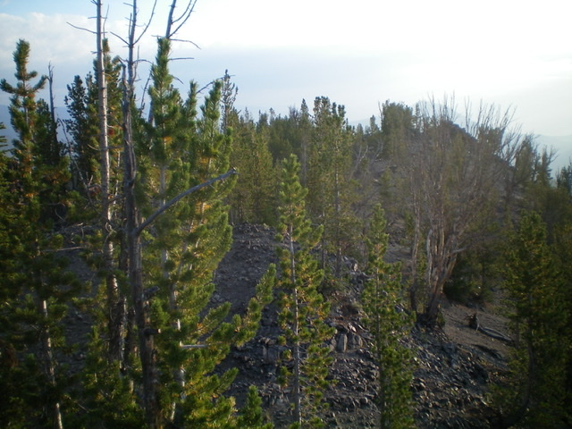
The forested summit area of Peak 9561 as viewed from the summit block. Livingston Douglas Photo
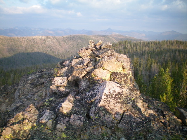
The summit of Peak 9561. Livingston Douglas Photo
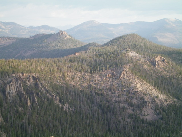
Looking northwest from Peak 9561. Summit Rock is left of center and Peak 9319 is right of center. Livingston Douglas Photo
Additional Resources
Regions: Eastern Salmon River Mountains->Salmon River Mountains->Southeast Corner Peaks->WESTERN IDAHO
Mountain Range: Eastern Salmon River Mountains
Longitude: -114.47539 Latitude: 44.46779