Elevation: 9,580 ft
Prominence: 320
This peak is not in the book. Published November 2020
Peak 9580 is a ridgeline summit that sits southeast of Goldstone Mountain and is only ½ mile from the Continental Divide to its northeast. It is an easy bushwhack from the CDT which follows the crest of the Continental Divide in this area. The summit offers a beautiful view of nearby Goldstone Mountain. Peak 9580 is entirely in the State of Idaho. USGS Goldstone Mountain
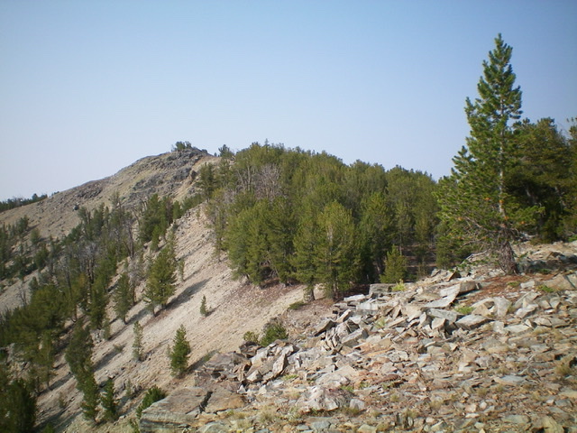
Looking up the northeast ridge of Peak 9580. The summit is just left of center. Livingston Douglas Photo
Access
From Jackson (MT), drive south on MT-278 for about a mile to a signed junction with Skinner Meadows Road/FSR-381. Turn right onto Skinner Meadows Road and reset your odometer. At 0.7 miles, bear right/south at an unsigned junction. At 9.0 miles, reach the NF boundary. At 11.6 miles, reach a signed road junction. Go left to stay on FSR-381. At 16.9 miles, reach Skinner Meadows. There is an information sign and pullout on left side of the road here. At 19.0 miles, reach a 3-way road junction (7,640 feet).
Park at this junction or drive up FSR-7327/Goldstone Pass Road (a double-right turn here). It is about 3.5 miles to Goldstone Pass from this junction. A 4WD vehicle with good tires can probably make it to the pass since the road has been improved over the past few years with logging activity along the road. Please note that FSR-7327 doesn’t actually go to Goldstone Pass. It crosses the ridgeline just above the pass. The CDT descends southwest to Goldstone Pass from this road crossing.
The Approach, Class 1
Reach the CDT just above Goldstone Pass by either hiking or driving up Goldstone Pass Road/FSR-7327. The road crosses a ridge northeast of Goldstone Pass at about 9,100 feet and almost immediately intersects the [well-signed] CDT just to the west of the ridge crest. Follow the CDT southbound (left) and follow it down to Goldstone Pass then up over Goldstone North (9,735 feet). Drop southeast to another saddle and up over another ridge hump. Descend southeast for another mile to a final saddle at 9,260 feet.
Please be aware that this section is a burn area and the CDT can be difficult to follow so be alert. When in doubt, stick to the ridge crest as the terrain is relatively open and easy. The 9,260-foot saddle is east of Goldstone Mountain, which you passed on your way here. From this saddle, continue south on the CDT for 0.3 miles to a ridge corner and a sharp left/east turn in the trail. Leave the trail here.
Northeast Ridge, Class 2
The Climb
From the ridge corner and sharp turn in the CDT, bushwhack southwest then south along a forested ridgeline (semi-open pine forest) to reach a final rocky ridge section that leads to the summit area. Stay on or just to the right/west of the ridge crest. The summit high point is on the east side of the large summit area. There is a smaller hump to the west, but it measures a full 25 feet lower. The southwest summit measures at 9,574 feet and is deemed to be lower than the northeast summit. Visually, it appears to be lower. There was no summit cairn so I built one.
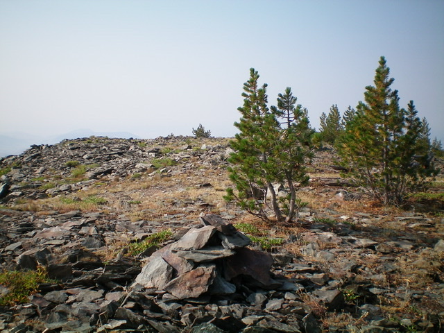
The newly-built summit cairn and summit area atop Peak 9580. Livingston Douglas Photo
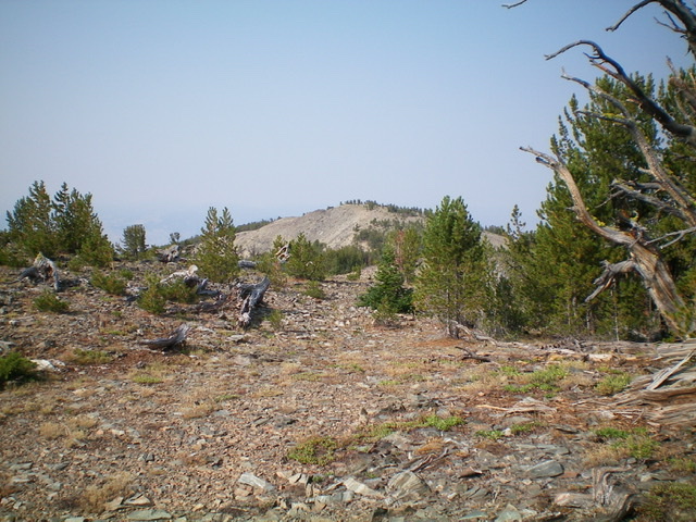
Point 9574 as viewed from the summit of Peak 9580. Livingston Douglas Photo
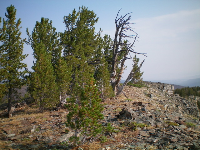
The summit of Peak 9580, looking north. Livingston Douglas Photo
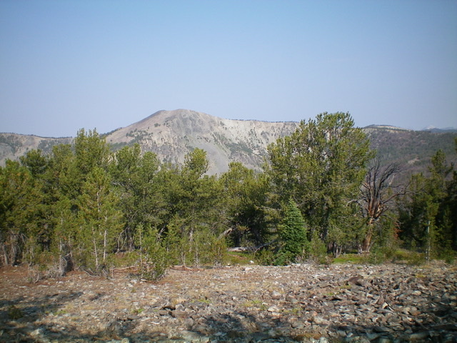
Goldstone Mountain as viewed from the summit of Peak 9580. Livingston Douglas Photo
Additional Resources
Regions: Beaverhead Range->EASTERN IDAHO
Mountain Range: Beaverhead Range
Longitude: -113.55489 Latitude: 45.10829