Elevation: 10,824 ft
Prominence: 1,146
Climbing and access information for this peak is on Pages 303-304 of the book. Livingston Douglas added additional details on the south ridge route, a new descent route, and new photos. LiDAR updates have raised the elevation of this peak by four feet. Updated October 2025
Portland Mountain is located due west of the ghost town of Gilmore, Idaho and east of the main Lemhi crest. USGS Gilmore
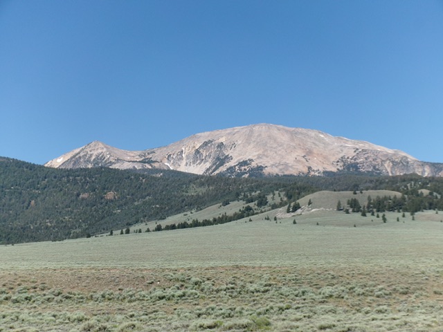
Portland Mountain as viewed from the southeast. Livingston Douglas Photo
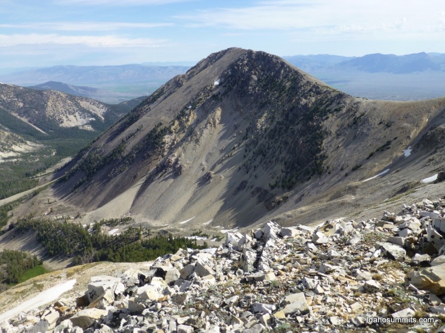
South Ridge and East Shoulder from Point 10666 by Livingston Douglas
Portland Mountain as viewed from ID-28 to its east. Point 10666 is the hump well left of center. Livingston Douglas Photo
Access
Same as for Peak 10724.
Approach Climb via Peak 10724 (Class 2)
The Climb
See the Peak 10724 page for the South Ridge Route (ascent).
Ridge Traverse from Peak 10724 over Point 10666 to the Connecting Saddle, Class 2
The Climb
See the Peak 10724 page for the Northeast Ridge Route (descent).
South Ridge, Class 2
The Climb
From the 10,380-foot connecting saddle between Peak 10724 and Portland Mountain, scramble up the tedious, rocky south ridge. The ridge terrain is a mix of boulders, talus, and rocky outcrops. It has many ups and downs. It seems to go on FOREVER. The south ridge is easy at first. Its mid-section is steeper. The final, lengthy section is flattish. The high point (with the USGS “Portland” benchmark) is at the far north end of this flat ridge section. There are many minor ridge outcrops and false summits along the way.
The actual high point of Portland Mountain may be a sharply pointed boulder about 50 feet to the south of the south summit hump. The south summit has a modest cairn atop it which suggests that some climbers believe this hump to be the true high point. However, better yet, the aforementioned boulder about 50 feet away may be the truest high point of Portland Mountain. Stand atop all of these points/humps as well as the official/benchmark point “just to be sure.”
East Shoulder from Point 10666, Class 3
The Descent
From the official/benchmark summit of Portland Mountain, return south to the 10,380-foot connecting saddle. Continue south-southeast up to Point 10666. From Point 10666, descend briefly south-southwest on its rocky ridge to reach the convoluted, but obvious, top of the east shoulder. Scramble down through large boulders and scree/gravel fields initially. Farther down, descend steep-ish scree/gravel slopes on the forested shoulder with intermittent shelves to downclimb.
There are a few sections of stable talus fields as well. Stay in or close to the scattered pine trees whenever possible for better footing. As you approach the valley floor, enter a pine forest. Bushwhack down through the pines to reach a stream crossing. Head east through the easy pine forest to reach Meadow Lake Road at a dispersed camping area. Hike 0.2 miles south up Meadow Creek Road to the campground and the day-use parking area and your vehicle.
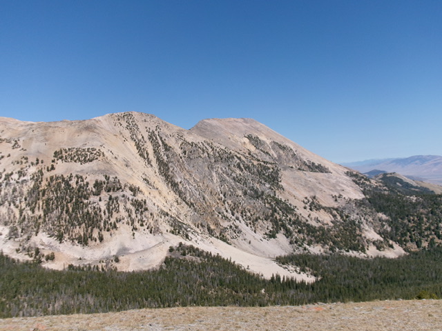
Portland Mountain as viewed from the west. The choppy south ridge (my ascent route) is the skyline in center and right of center. Livingston Douglas Photo
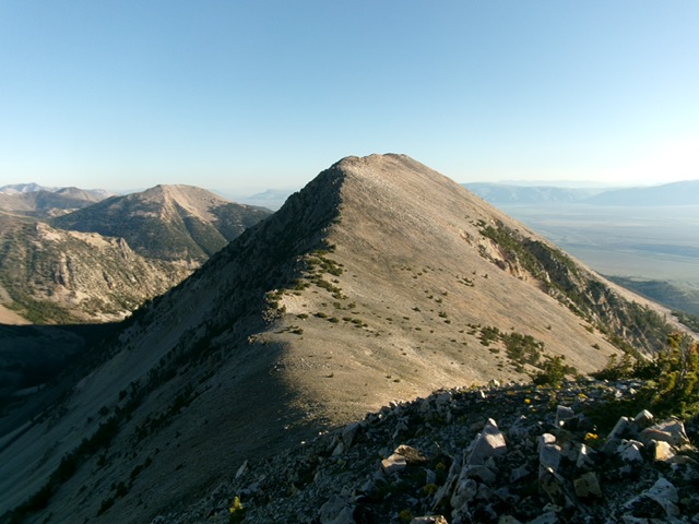
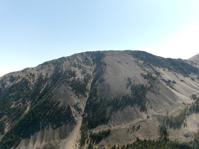
Portland Mountain as viewed from Point 10666 to its south. Livingston Douglas Photo
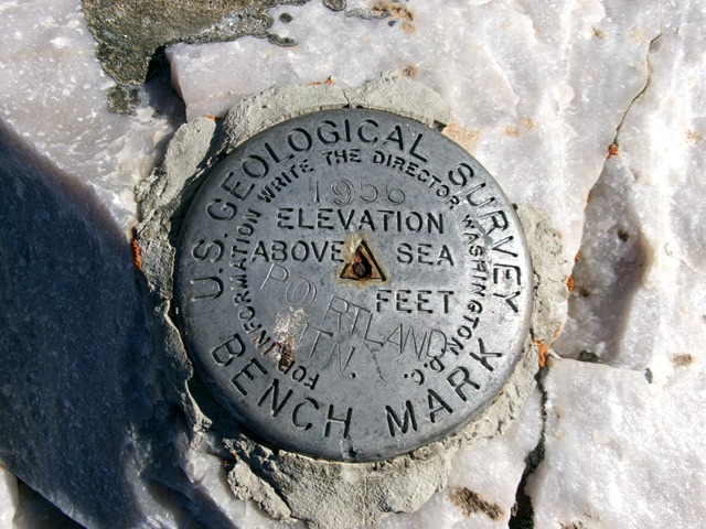
The USGS benchmark atop Portland Mountain. Livingston Douglas Photo

Portland Mountain (hump in dead center in distance) as viewed from Gilmore Peak to its south. Livingston Douglas Photo
Portland Mountain as viewed from Peak 10724. Dan Robbins Photo
Additional Resources
Regions: EASTERN IDAHO->Lemhi Range
Mountain Range: Lemhi Range
Year Climbed: 2013
Longitude: -113.32979 Latitude: 44.45529