Elevation: 10,138 ft
Prominence: 558
Climbing and access information for this peak is on Pages 211-212 of the book. Updated November 2022
Prairie Creek Peak sits just south of Prairie Lakes on the main Smoky Mountain Crest. It is roughly 1.4 miles southwest of Norton Peak. USGS Baker Peak
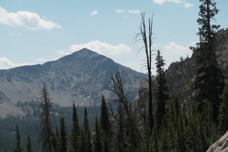
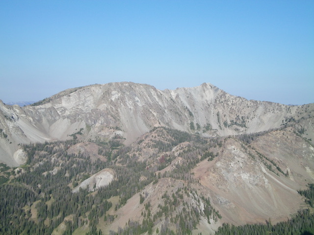
Prairie Creek Peak as viewed from Shadow Peak
Access
This is the second leg of a 2-peak adventure that includes Norton Peak (10,336 feet) and Prairie Creek Peak. Please refer to the Norton Peak page for details on how to reach the 9,580-foot connecting saddle above the highest Norton Lake.
Northeast Ridge, Class 3
The Climb
From the 9,580-foot connecting saddle with Norton Peak, scramble southwest up over Point 9910. The ridge section here is a Class 2 mix of ridge rock and ridge pines. Nothing serious. From cairned Point 9910, follow the narrowing ridge crest south (not too bad) then southwest to reach a narrow ridge saddle at 9,700 feet. The southwest section of this ridge descent is much narrower, rockier, and more challenging than the southbound section. This is just a taste of what’s to come in order to reach the summit of Prairie Creek Peak. The ridge saddle is narrow, rocky, and clogged with ridge pines. Skirt a ridge tower to reach the southwest end of this awful, elongated saddle.
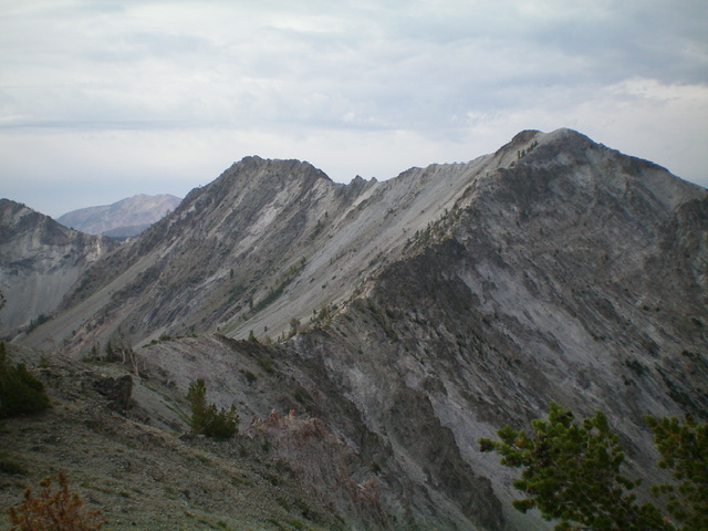
Prairie Creek Peak (summit is the hump at far right) and its long, rugged south ridge (skyline in middle of photo). Livingston Douglas Photo
You are now at the base of the northeast ridge of Prairie Creek Peak and it’s ugly. The ridge is very narrow and is nothing but rocky ridge towers. Thankfully, the ridge pines are mostly gone. I climbed the tops of the towers initially but that strategy soon failed. Work along narrow ledges on the sides of the towers or drop down to the base of the towers and re-climb to the ridge via crumbly, scree/gravel chutes. This is a slow and tedious process. Higher up, thankfully, the ridge towers end and the rocky ridge outcrops are much more reasonable. The summit of Prairie Creek Peak is a small ridge corner with a decent summit cairn.
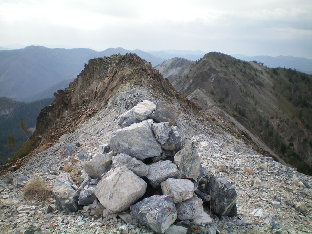
The summit cairn atop Prairie Creek Peak, looking south along the rugged ridgeline. Livingston Douglas Photo
East Face, Class 3
The Descent
From the summit, descend due east down the steep face to Big Lost Lake. The terrain is loose talus/scree and gravel high up then a section of cliff bands and gullies to downclimb (Class 3). Lower down, the terrain is flatter scree slopes and a minor shoulder to reach Big Lost Lake. Hike along the west shore of the lake and find a good use trail at its south end. Follow this trail south 40 feet up over a minor ridge then southeast to the north side of Smoky Lake. From there, head east with several leftward moves across minor shoulders lower down to intercept the Norton Lakes Trail at an unsigned junction. Go right onto Norton Lakes Trail and reach the trailhead after a short hike.
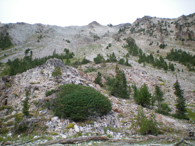
The east face of Prairie Creek Peak (my descent route) as viewed from Big Lost Lake. The summit is just right of the pyramidal hump in dead center. Livingston Douglas Photo
Please note that the use trail from Big Lost Lake to Smoky Lake and the use trail from Smoky Lake to the Norton Lakes Trail are well-beaten footpaths and are very useful. I also found a use trail at the north end of Big Lost Lake that, in all likelihood, leads to the lower Norton Lake. None of these use trails are shown on any maps.
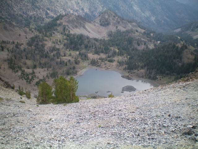
Big Lost Lake as viewed from the summit of Prairie Creek Peak. Livingston Douglas Photo
Prairie Creek Peak as viewed from the southeast. The summit hump is right of center and the northeast ridge is the right skyline. Livingston Douglas Photo
Additional Resources