Elevation: 5,864 ft
Prominence: 494
This peak is not in the book. Published November 2022
Quaking Aspen Butte is a multi-humped butte that is located on the east side of the Arco-Minidoka Road about 18 miles south of Arco, Idaho. It is most easily climbed via its west face. This climb is entirely on BLM land. USGS Quaking Aspen Butte
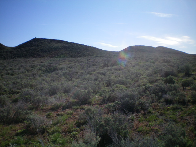
Quaking Aspen Butte and its three humps as viewed from the west. The rightmost hump is the high point. The summit is NOT the cairned, leftmost hump. Deceiving, huh? Livingston Douglas Photo
Access
The Arco-Minidoka (A-M) Road begins southwest of Arco, just off US-20. From the junction of US-20 and US-93 in downtown Arco, drive west on US-20 for 1.9 miles. Turn left/south onto [signed] 3100W. This is the A-M Road. Drive 13.4 miles south then southeast on the A-M Road to a signed junction with Big Southern Butte Road at a fork in the road. Go right/west here to stay on the A-M Road. At 17.2 miles, park alongside the road(5,500 feet). GPS coordinates: 43⁰23’23”N, 113⁰13’33”W.
Quaking Aspen Butte has three separate summits: the cairned northwest summit (Point 5820+), the double-humped true/south summit (5,864 feet), and the north summit (5,843 feet). When viewed from the A-M Road, the cairned northwest summit appears to be the high point (it has a tall cairn), but it is not (as I found out). Stay right/south of that point in order to more directly reach the true/south summit. The summit high point is the eastern of two closely-positioned humps.
Northwest Ridge, Class 2+
The Climb
From the A-M Road, bushwhack directly at the cairned northwest summit through sagebrush. The final push to the top requires boulder scrambling than a tedious ridge traverse to the [obviously-higher] true/south summit. The true summit has a summit cairn and triangulation posts/wiring laying on the ground nearby.
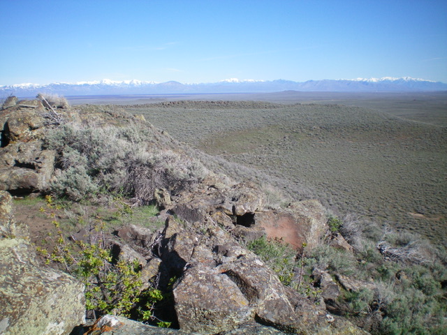
The crater of Quaking Aspen Butte (right side of photo) as viewed from the summit. Livingston Douglas Photo
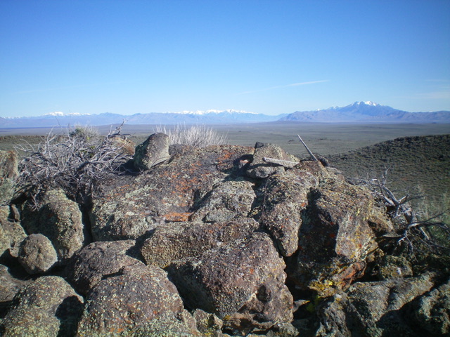
The summit boulders atop Quaking Aspen Butte. Livingston Douglas Photo
West Face, Class 2
The Descent
From the true/south summit, descend west through gapped sagebrush with no ups and downs to return to your vehicle along the A-M road.
Additional Resources