Elevation: 6,265 ft
Prominence: 365
This peak is not in the book. Published December 2019
Rattler Butte is a scrub hill located southwest of Bellevue, ID. The easiest ascent route is the west ridge from Townsend Gulch Road. This area is a patchwork of BLM land, State of Idaho land, and private land. Consult the BLM Fairfield map to stay out of trouble. USGS Bellevue
North Shoulder, Class 2
Access
From ID-75 in Bellevue, turn left/west onto [signed] Broadford Road (1 block north of Cedar Street). Drive 0.3 miles, cross a bridge, and reach a road junction. Turn left/south onto Lower Bradford Road and drive 0.9 miles to a [signed] junction with Townsend Gulch Road. Reset your odometer here. At 0.3 miles, go L at a “T” junction. At 0.4 miles, pass Lees Gulch Road on the right. At 1.4 miles, the pavement ends and you reach BLM land. At 2.2 miles, park in a roadside pullout on the left/south side of the road. The elevation here is 5,530 feet.
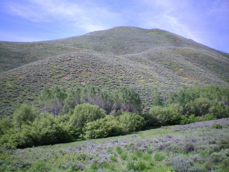
View of the north side of Rattler Butte from Townsend Gulch Road. The north shoulder heads upward and diagonally right before it curls leftward to the sagebrush-covered summit. The skyline is the northeast ridge. Livingston Douglas Photo
The Climb
From the parking pullout, bushwhack southwest down to a small creek (25 vertical feet) and bash through the thick aspens that surround the drainage. Cross the creek and climb southwest up through thick sagebrush to quickly reach the crest of the north shoulder. Work your way up through sagebrush on the shoulder to reach the summit ridge. Once on the summit ridge, turn left/east to reach the high point of Rattler Butte and its massive summit cairn among the thick sagebrush.
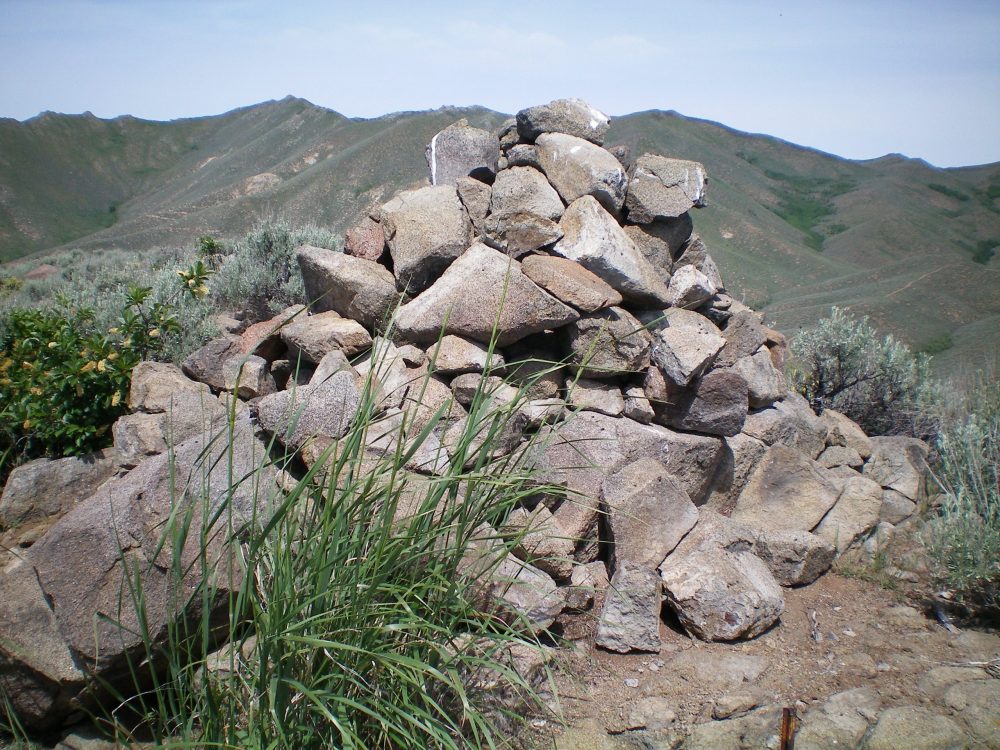
The massive cairn atop Rattler Butte with the ever-present sagebrush close by. Livingston Douglas Photo
Northeast Ridge, Class 2
Access
Same as for the north shoulder. This is the final leg of a loop route that begins and ends on Townsend Gulch Road.
The Descent
From the summit, descend east-northeast along the sagebrush-covered ridge to a ridge point at the head of a gully that leads northeast down to Townsend Gulch Road. You will find on-and-off sheep trails to help in this ridge descent. Descend the final section of the northeast ridge with a large gully to the right/east and a minor gully to the left/west to reach the thick aspens at creek side. Bash through the aspens, cross the creek, and cruise across a grassy field to reach Townsend Gulch Road. Hike west up the road to return to the parking pullout.
Additional Resources
Regions: Smoky Mountains->WESTERN IDAHO
Mountain Range: Smoky Mountains
Longitude: -114.30159 Latitude: 43.44049